Backpacking Marmot Pass in Olympic National Forest (Ultimate Guide)
If you’re looking for a challenging yet rewarding hike in Olympic National Forest, Marmot Pass is a must-visit. This trail offers a mix of lush forests, stunning river views, and breathtaking mountain vistas. Bordering Olympic National Park, this area allows you the freedom to camp anywhere, making it an ideal alternative if you want to get close to the national park while enjoying flexible camping options. In this post, I’ll share my experience hiking and camping at Marmot Pass, along with detailed trail information about the trail. Plus, I’ll provide essential tips to ensure your well prepared for the backcountry. Whether you’re a seasoned backpacker or a novice hiker, this guide will help you plan your own adventure.
The main reason for choosing to hike Marmot Pass
Today
51°F
Chance Light Rain
Tonight
39°F
Chance Light Rain
Sun
53°F
Chance Light Rain
Today
51°F
Chance Light Rain
Tonight
39°F
Chance Light Rain
Sun
53°F
Chance Light Rain
Sun Night
40°F
Mostly Clear
Mon
61°F
Sunny
Mon Night
46°F
Mostly Clear
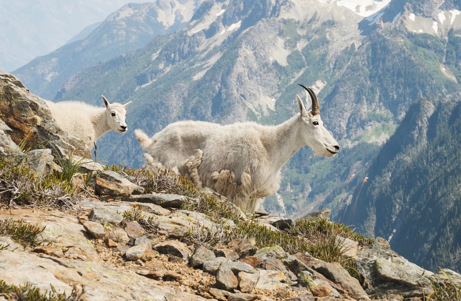
One of the main attractions of Marmot Pass is that it borders Olympic National Park, allowing you to experience the stunning beauty of the park without the need for a permit. This makes Marmot Pass an ideal choice for hikers who want the freedom to explore and camp anywhere without restrictions. If you want to avoid the hassle of obtaining permits or simply want a more spontaneous hiking experience, Marmot Pass is a trail to consider. I would also highly recommend nearby Silver Lakes if you rather have an alpine lake experience.
What is the best time to hike up to Marmot Pass?
This trail is best hiked from May to October. Early spring and late fall may bring snow, so be prepared. I completed the hike in late May and encountered significant snow—more on that later! During summer, snow is minimal or nonexistent, making it an ideal time for a snow-free hike.
Getting to the Marmot Pass Trailhead
Similar hikes worth exploring.
Driving along Highway 101, take NF 27 from Quilcene, Washington, then transition onto NF 2750. These well-maintained forest roads offer scenic views but can be narrow and winding, so drive carefully. The Upper Big Quilcene Trailhead is well-marked with ample parking. Arrive early, especially on weekends, as this popular trail attracts many hikers.
What Park Passes are required for Marmot Pass?
There are no permits or reservations for this area, as long as you remain inside the Olympic National Forest area. You will need either a Northwest Forest Pass or a National Parks Pass for parking at the trailhead.
The Trail to Marmot Pass (What to expect)
It’s a total of about 6.2 miles to get to Marmot Pass. The trial offers a blend of lush forests, rolling hills, and steep ascents, ultimately leading to breathtaking Olympic Mountain views. Here’s a breakdown of the trail:
From the Upper Big Quilcene Trailhead, the first 1.5 miles (500 feet of ascent) of the trail offer a gentle uphill climb, closely following the Big Quilcene River. The trail is surrounded by a vibrant forest, dominated by Douglas fir, hemlock, and cedar trees. The forest floor and tree trunks are blanketed in bright green moss, creating a lush environment. You’ll enjoy the soothing sounds of the river as you hike, adding to the tranquil atmosphere. This section is relatively easy and really enjoyable.
At approximately 1.7 miles, the trail begins to gain elevation more significantly. Here, you’ll encounter built-in stairs (thanks trail crew!) and the first of many switchbacks, which help manage the ascent. The forest becomes denser, and the path narrower, providing a good workout as you climb steadily higher.
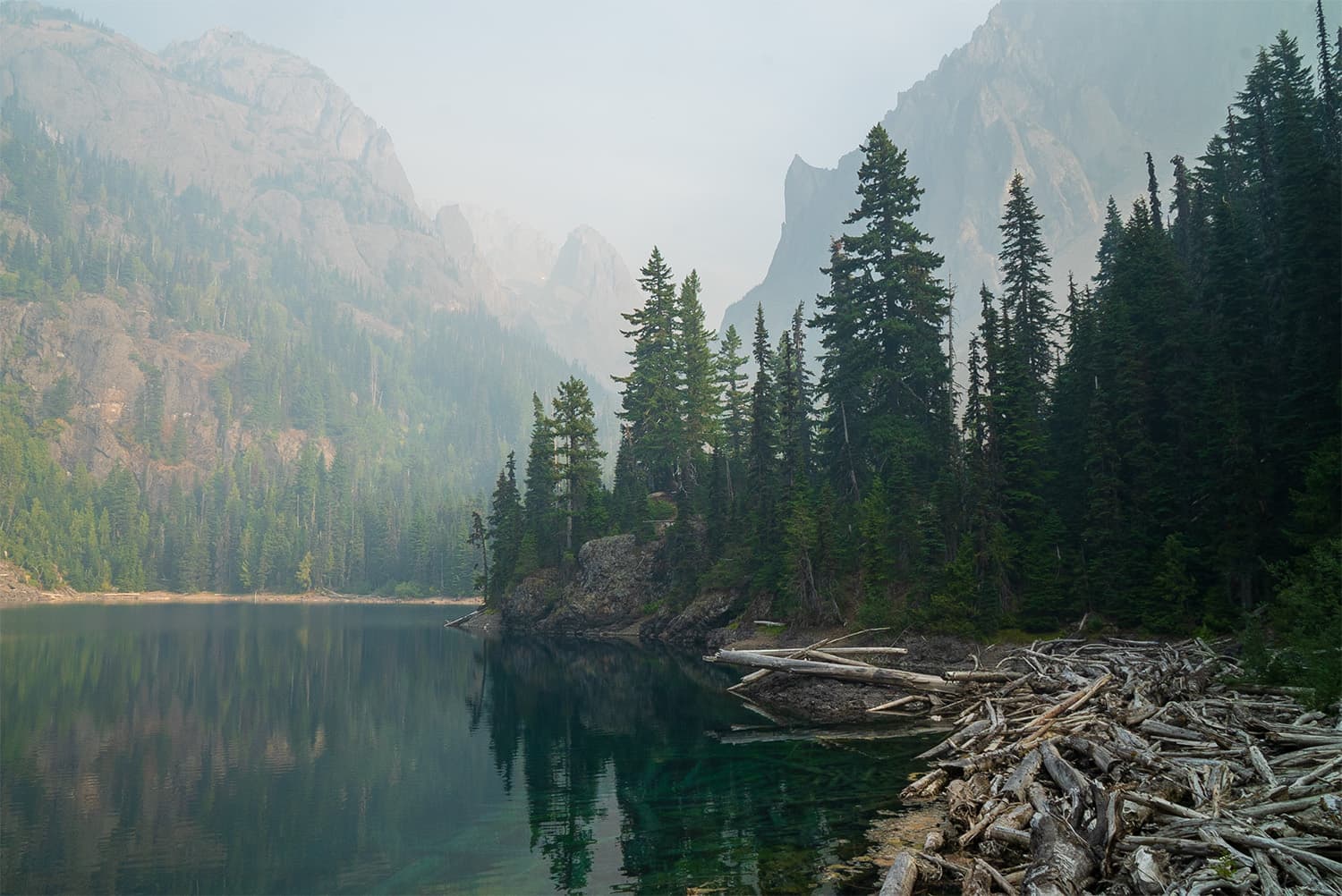
Around 2.25 miles, the trail briefly opens up into a small clearing before diving back into a thicker section of forest. In this part of the hike, you’ll notice stands of hemlock trees giving way to Douglas fir and spruce. The terrain starts to roll, with a mix of slight inclines and flat stretches. At 2.75 miles, there’s a small campsite near a stream, suitable for a couple of tents.
Continuing on, the trail features rolling up-and-down sections. The canopy begins to open slightly, allowing more light to filter through. At 3.2 miles, you reach Shelter Rock Campsite, a spacious area with multiple tent spots and a stream for water. This is a great spot to rest or camp if you’re looking for a lower elevation site.
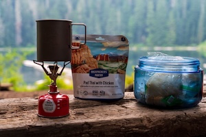
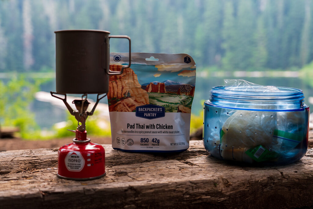
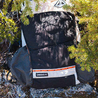
Kurt's Backpacking Gear
View My Full Gear List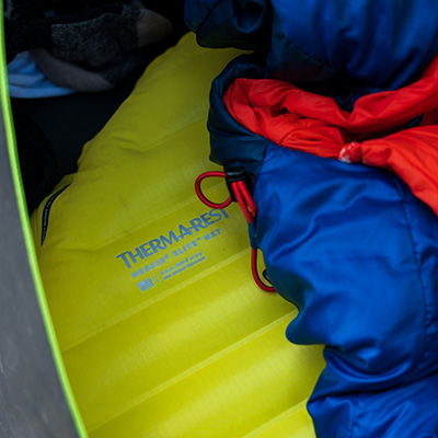
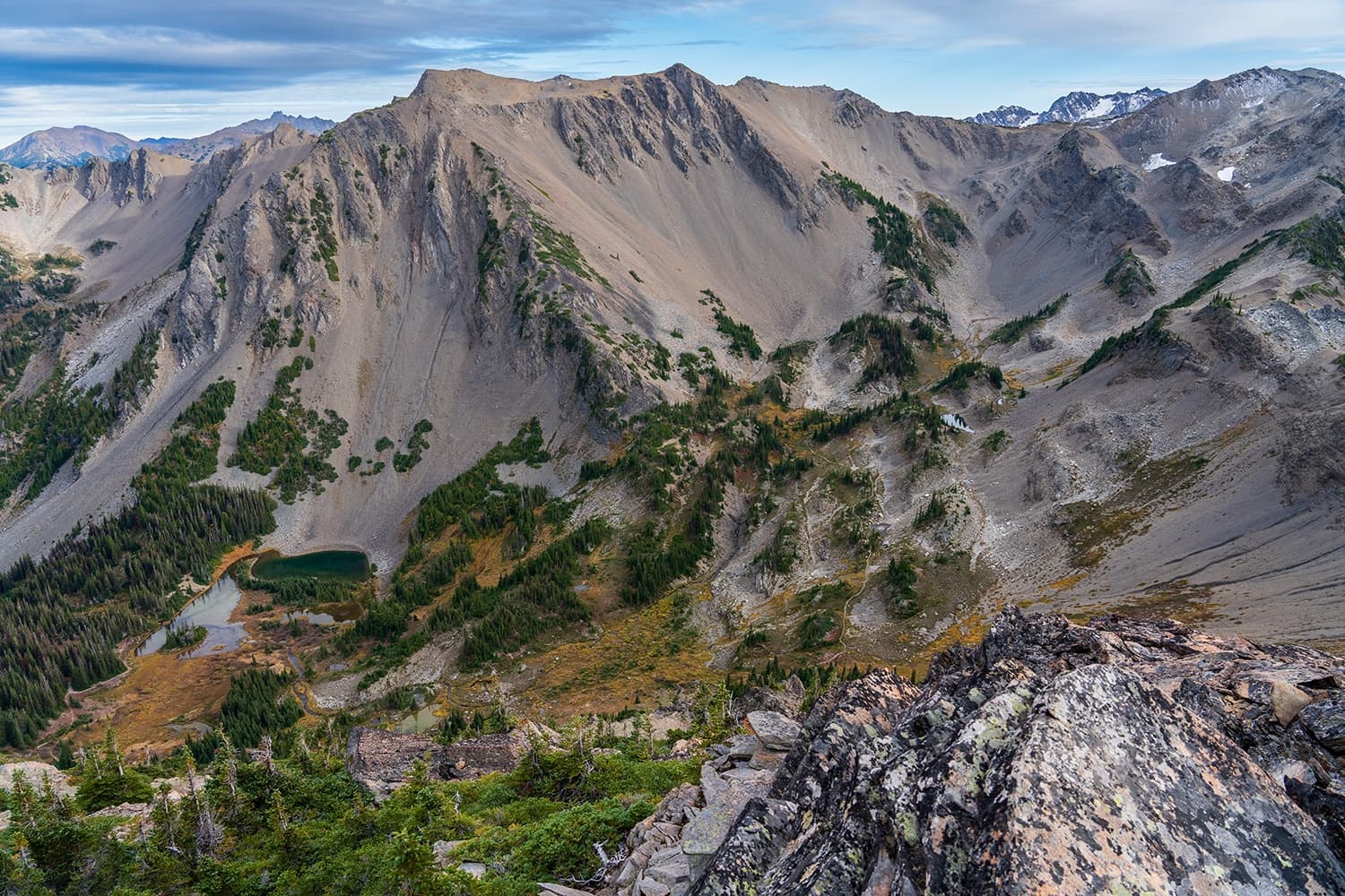
At 4.3 miles, you reach your first major overlook. On clear days, you can see Warrior Peak and the Big Quilcene River far below. After this point, the trail traverses a rocky field with loose gravel, requiring careful footing in some sections.
Re-entering the forest, you’ll walk through an area rich with cedar trees. The air here is fragrant with the smell of cedar, adding to the sensory experience. At about 4.75 miles, the trail opens up into alpine meadows, particularly beautiful in late spring and summer when wildflowers are in bloom.
The trail continues through the meadows, featuring a variety of wildflowers and panoramic views. At 5.3 miles, you encounter a stream—your last reliable water source before reaching Marmot Pass. Camp Mystery is just ahead at 5.6 miles, offering another camping option.
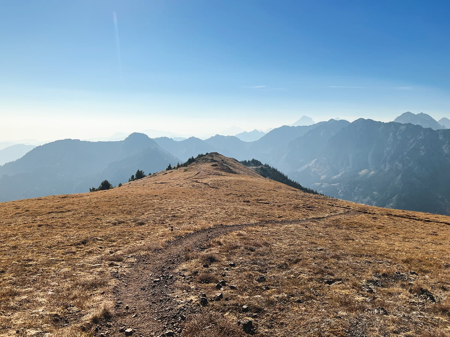
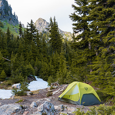
The final stretch to Marmot Pass involves a series of switchbacks through rocky and meadow terrain. As you ascend, the views become more expansive. Upon reaching Marmot Pass at 6.2 miles, you are greeted with breathtaking vistas of the Olympic Mountains. The pass provides several flat areas suitable for pitching a tent, though you may need to melt snow for water in late spring – more on that to come.
Campsite Options Along Marmot Pass Trail
The Marmot Pass trail offers several excellent camping spots along the way. These details might give you a good idea on where you’d plan to stay.
This small campsite is situated close to the trail and is suitable for 2-3 tents. The site is flat and offers easy access to a small stream for water. The surrounding forest is dense with Douglas fir.
Shelter Rock Campsite is a spacious area with multiple tent spots, making it ideal for larger groups. The campsite is nestled among large trees, including Douglas fir and spruce. The Big Quilcene River runs through the site, providing a convenient water source. The terrain is generally flat, with soft ground suitable for pitching tents. This was my favorite lower elevation site and a good alternative to Camp Mystery which can be crowded during peak season.
Camp Mystery is a great choice for hikers looking to stay at a slightly higher elevation before making the final push to Marmot Pass. The area is moderately sized and spaced out, accommodating a good amount of tents comfortably. If you’re in a group, you’ll likely have to space your tents out. The Big Quilcene River runs through the campsite, though it is much smaller here as it is near the headwaters of the stream, which actually start a bit further past the camp.
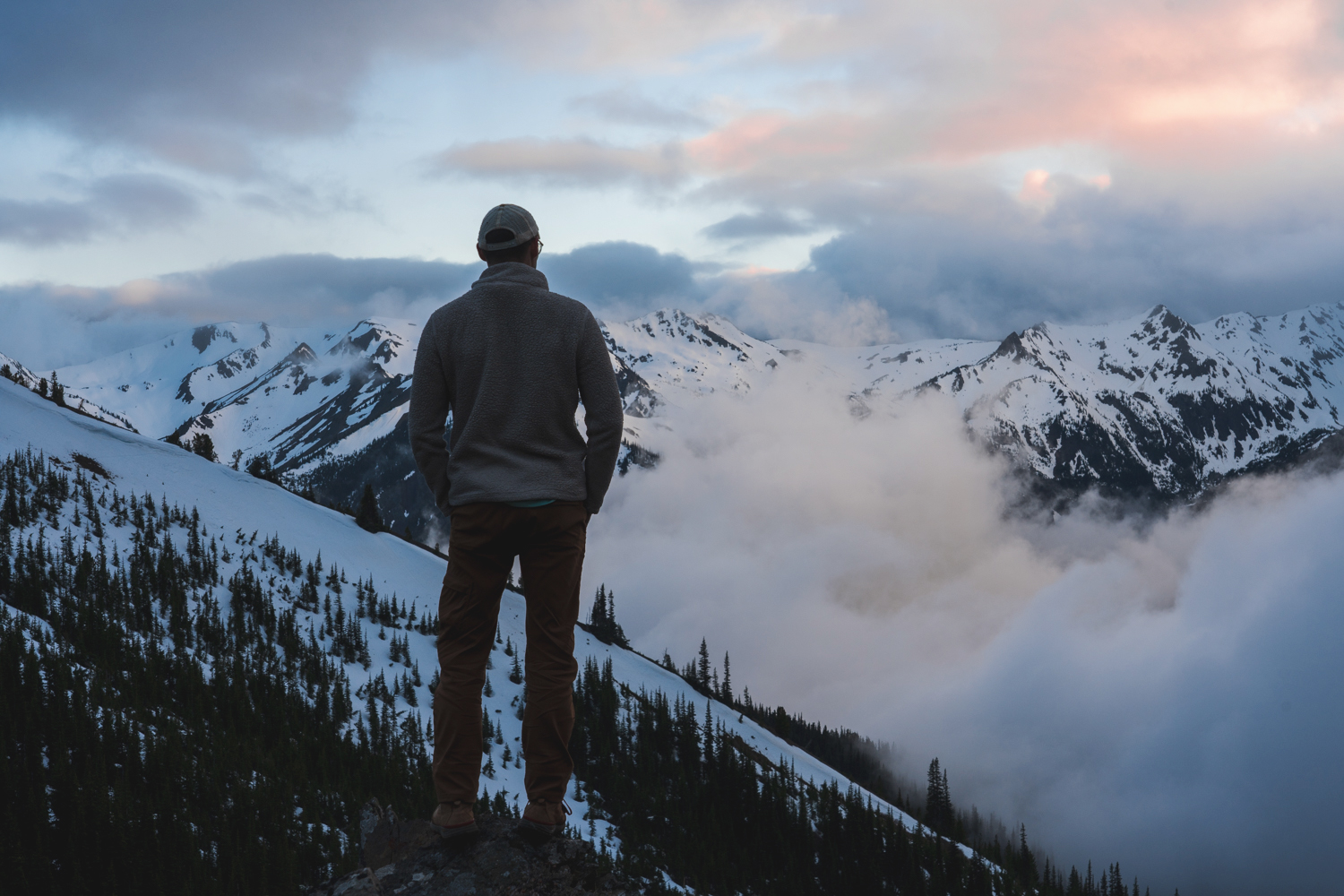
Marmot Pass offers some flat areas suitable for pitching tents, although these spots are more exposed to the elements compared to lower elevation sites. The pass provides stunning views of the Olympic Mountains, making it a scenic but potentially windy and cold camping location. There are no reliable water sources at the pass itself, so hikers should fill up at the stream near Camp Mystery or melt snow for water if necessary. If you are interested in the exact coordinates of where I camped: 47.818675, -123.136504.
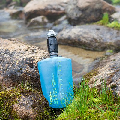
Water Sources Along Marmot Pass Trail
Water sources on the Marmot Pass trail are plentiful, but if you plan to camp at Marmot Pass, you need to consider the downsides. Initially, the Big Quilcene River runs alongside the trail, providing ample water. All campsites along the trail offer reliable water sources. However, if you plan to hike past Camp Mystery, it’s essential to top off your water supply there. For those camping at Marmot Pass, you should either carry extra water, be prepared to boil snow (not feasible in summer), or be willing to hike back down to Camp Mystery for more water.
Are dogs allowed on the Marmot Pass Trail?
Yes, dogs are allowed on the trail but should be leashed as always!
Tips for Hiking Marmot Pass
Here are few tips to make your hike even better:
I highly recommend Marmot Pass if you are looking to experience lush forests, stunning river views, and breathtaking mountain vistas. The lack of required permits makes this hike even more appealing for a last-minute trip or if you didn’t secure permits for Olympic National Park. I’ll definitely be back to explore more of the surrounding area.