Ultimate Alpine Adventure: Backpacking Minotaur Lake & Labyrinth Mountain in the Cascades
The Cascades provide some excellent backpacking destinations, especially if you are looking to stay at beautiful alpine lakes. Minotaur Lake in the Central Cascades of Washington is no exception to pristine alpine lakes. Nestled in a bowl-shaped basin surrounded by steep cliffs, Minotaur Lake is an unforgettable destination. This hike rewards you with stunning views, crystal-clear blue waters, and a sense of seclusion that few trails provide, making it a true wilderness experience. Plus, there’s no need to obtain permits to camp here, adding to its appeal for spontaneous adventurers.
The Best Time to Backpack Lake Minotaur
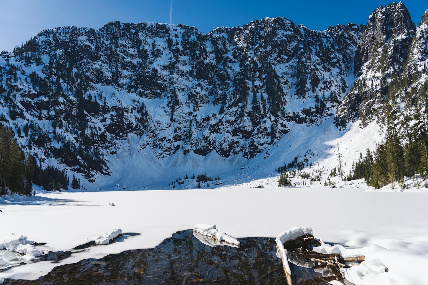
The ideal time to hike or backpack to Minotaur Lake is from July to October. By July, most of the snow has melted, making the trail accessible. You could potentially hike a month earlier, as the trailhead should be reachable, but you might encounter snow near the lake, and it could still be iced over. This trail is also stunning in the fall, offering a different but equally beautiful experience.
Wildfires! Know Before You Go.
Something to note about this trail, and many others in the Central Cascades, is their susceptibility to wildfires during the summer months. I completed this trail in early July, and a few weeks later, the area was closed due to a nearby wildfire. For the latest information, you can check the Fire and Smoke Map. You can also check the Okanogan-Wenatchee National Forest website to see if the trail is either open or closed due to wildfire activity but as of right now the trail should open back up by October 31, 2024.
Tonight
41°F
Mostly Clear
Fri
62°F
Sunny
Fri Night
44°F
Mostly Clear
Tonight
41°F
Mostly Clear
Fri
62°F
Sunny
Fri Night
44°F
Mostly Clear
Sat
71°F
Sunny
Sat Night
51°F
Mostly Clear
Sun
77°F
Sunny
Getting to the Trailhead
From Stevens Pass on US Highway 2, turn left onto Rainy Creek Road and then left onto FS-6704 to reach the trailhead. Along Rainy Creek Road, you will pass the Smithbrook trailhead. The road up to this point is manageable, but after the trailhead parking, it becomes rough with numerous potholes and loose rocks from the roadside slopes. The Minotaur trailhead parking is simply a roadside pull-off, so you will need to park along the side of the road. It should take about 30 minutes to reach the trailhead from US Highway 2. Note, there are no toilets at the trailhead.
The STEEP Trail to Lake Minotaur
The hike to Minotaur Lake is steep! I will not sugarcoat how incredibly steep it is! The trail covers about 1,900 feet of elevation gain in just 1.5 miles, with the first 1,400 feet of elevation gained in less than a mile. Now that’s steep!
The elevation gain starts immediately from the trailhead. You’ll initially parallel a small stream to your right, which is your last chance for water before reaching the lake almost 2,000 feet higher. The trail begins with switchbacks but quickly transitions to a steep, straight-up climb, making it a real leg burner, especially if you’re carrying a pack.
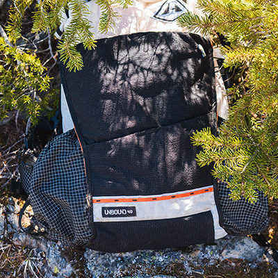
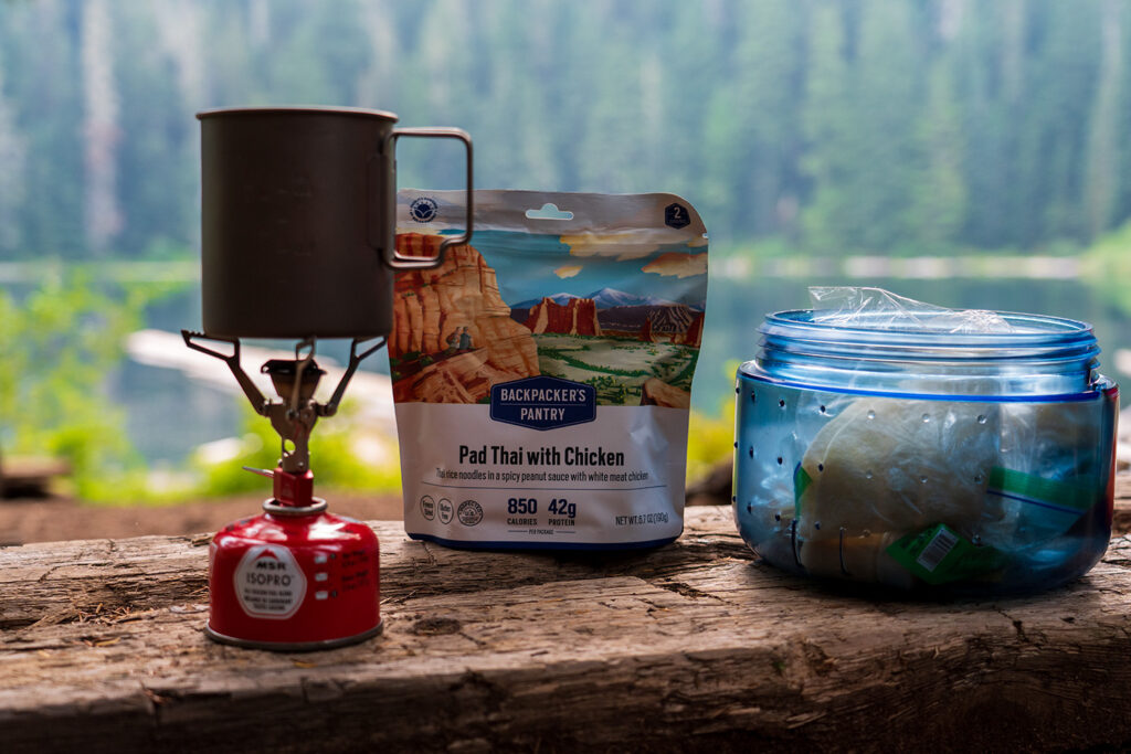
Kurt's Backpacking Gear
View My Full Gear List

You’ll hike through dense evergreens, alternating between switchbacks and direct climbs. The trail eventually levels out into alpine meadows filled with wildflowers (huckleberries in the fall), signaling you’re close to Minotaur Lake. Enjoy the vibrant blooms in this section!
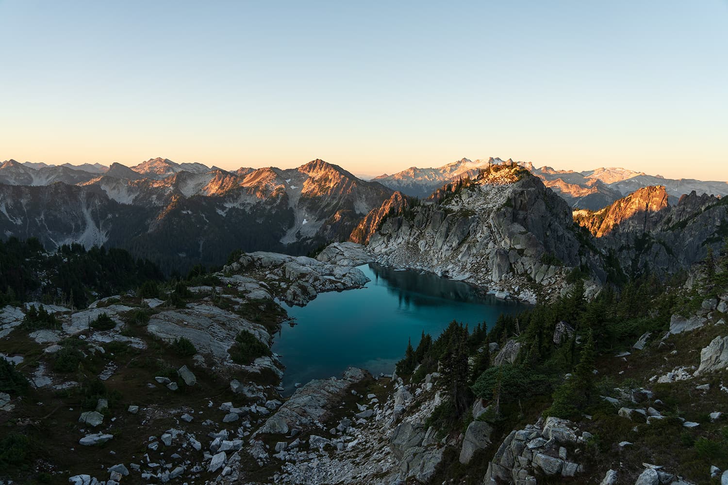
Views of Lake Minotaur emerge and do not disappoint! On a sunny day, the reflections of blue and turquoise can be seen. The steep slopes of Labyrinth Mountain cascade into the lake, creating one of the most perfect views. The alpine lake is framed by slopes of granite cliffs that transition seamlessly into the water, with patches of snow lining the edge of the lake and parts of the sloped cliffs, adding to the stunning scenery.
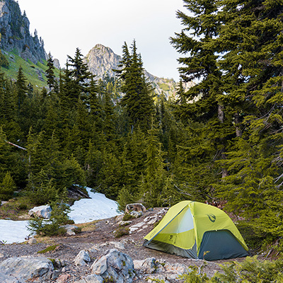
Camping at Lake Minotaur
Most campsites at Minotaur Lake are located along the right side, perched on the ridgeline. Although not directly on the lake, they offer great views of both Minotaur and Theseus Lakes. The first campsite on the right has some excellent lakeside views. There is also a campsite on the left side of the lake, nestled among the trees, providing amazing lake views. This is where I decided to stay.
Similar hikes worth exploring.
My Experience Camping at Lake Minotaur
The first thing I noticed while camping at the lake was the sheer number of bees! Initially, you might worry about seeing so many, but these sweat bees are harmless and rarely sting. They are attracted to the salt on your skin or gear and play a crucial role in pollinating the wildflowers along the trail. The mosquitoes and flies were more annoying than the bees, which I eventually got used to.
The campsite I chose on the left side of the lake provided a decent amount of shade from the sun, unlike the other campsites, which are more exposed. This is something to keep in mind when selecting a campsite.
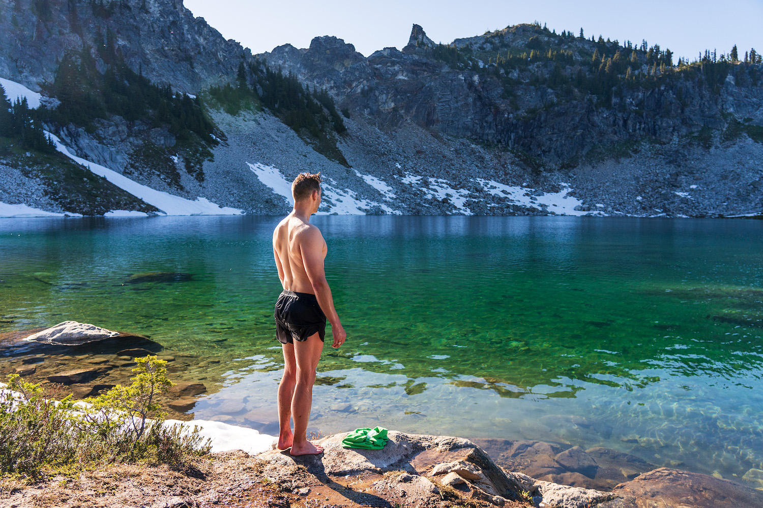
Relaxing at Lake Minotaur is a true escape. On a hot day, a swim in the lake’s very cold water provides a refreshing break from the sun. Afterward, you can take a nap in your tent, enjoying the peace and shade. For those who fish, the lake offers the chance to catch rainbow trout. The ever-changing lighting conditions make for stunning photography opportunities, capturing the amazing colors of the water. It’s a perfect way to unwind and immerse yourself in the natural beauty of the area.
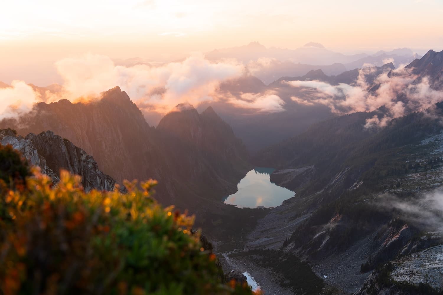
Additionally, the ridgeline overlooking Theseus Lake offers stunning views, especially during sunset or sunrise. The changing light creates a mesmerizing panorama, making it a perfect spot for some great photos. When the sun is bright and shining on the lake, the water looks incredibly blue, adding to the stunning scenery.
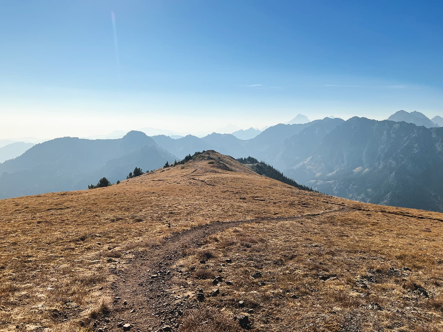
Hiking to the Summit of Labyrinth Mountain
Another activity while camping at Minotaur Lake is to hike further up the trail to Labyrinth Mountain. From the lake, it’s an additional 0.8 miles and just over 800 feet of elevation gain to reach the summit at 6,366 feet. In early July, there was still a decent amount of snow on the hike up, but the area was lush with alpine meadows. This higher elevation environment differs from the lower trail, with its vibrant greenery, blooming wildflowers, and open meadows replacing the dense evergreen forest. From the summit, you’ll get breathtaking views of the Cascades, including Glacier Peak to the north and distant Mount Rainier. I even saw wildfire smoke from the Pioneer Fire at Lake Chelan to the east.
Tips for Hiking and Camping at Lake Minotaur
- Best Time to Visit: July to October for optimal conditions.
- Trailhead Access: Road gets rough past Smithbrook trailhead; park along the roadside.
- Steep Trail: 1,900 feet elevation gain in 1.5 miles; prepare for a challenging hike.
- Water: Last water source is near the trailhead; carry enough for the hike.
- Camping Spots: Right side ridgeline offers views; left side provides shade.
- Wildlife: Sweat bees are common but harmless; be prepared for mosquitoes and flies.
- Scenic Views: Check out sunrise/sunset from the ridgeline for spectacular photos.
- Labyrinth Mountain: Additional 0.8-mile hike with 800 feet elevation gain for summit views.
- Wildfire Awareness: Check conditions and trail closures before your trip.
- Food Storage: Use bear cans to store food securely to keep wildlife safe.
- Permits: No permits are needed to overnight camp at Lake Minotaur.
Final Thoughts on Minotaur Lake
Despite this being a very challenging hike with some serious vertical gain in such a short distance, I still think the hike is well worth it if you are looking for an amazing alpine lake to relax at for the day. Minotaur Lake is located in a prime wildfire-prone location, so always check for any fires in the vicinity or trail closures before heading out. Proper preparation and awareness of current conditions are key. Enjoy the pristine beauty, crystal-clear waters, and breathtaking views that make Minotaur Lake an unforgettable destination. Whether you’re hiking, camping, or simply taking in the views, Minotaur Lake is an experience not to be missed.