- Total Distance: 7.6 miles
- Elevation GainL 2,122 feet
- Difficulty Level: Moderate
- Passes Required: Northwest Forest Pass
- Camping Permits: Not Needed
Before relocating to Washington from the East Coast, I dedicated a week to exploring the North Cascades, with Park Butte Lookout claiming a top spot on my itinerary. And it’s no surprise—it’s a real crowd-pleaser! Upon finally reaching the lookout, I was filled with sheer excitement. How utterly cool was this! I was determined to spend the night here, tucked away in this historic tower. Eventually, I fulfilled that ambition after settling in Washington, and to top it off, completed it on my birthday!
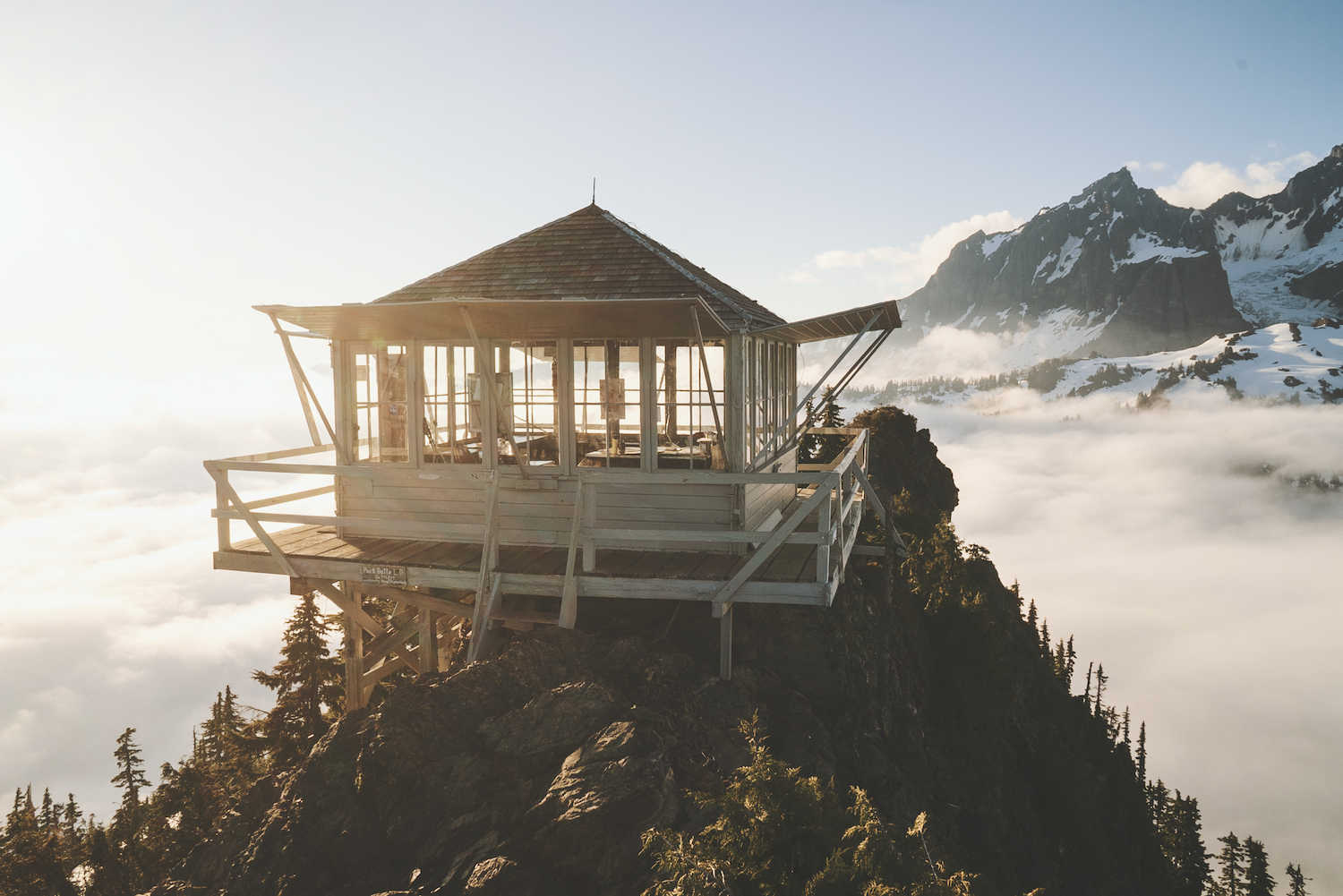
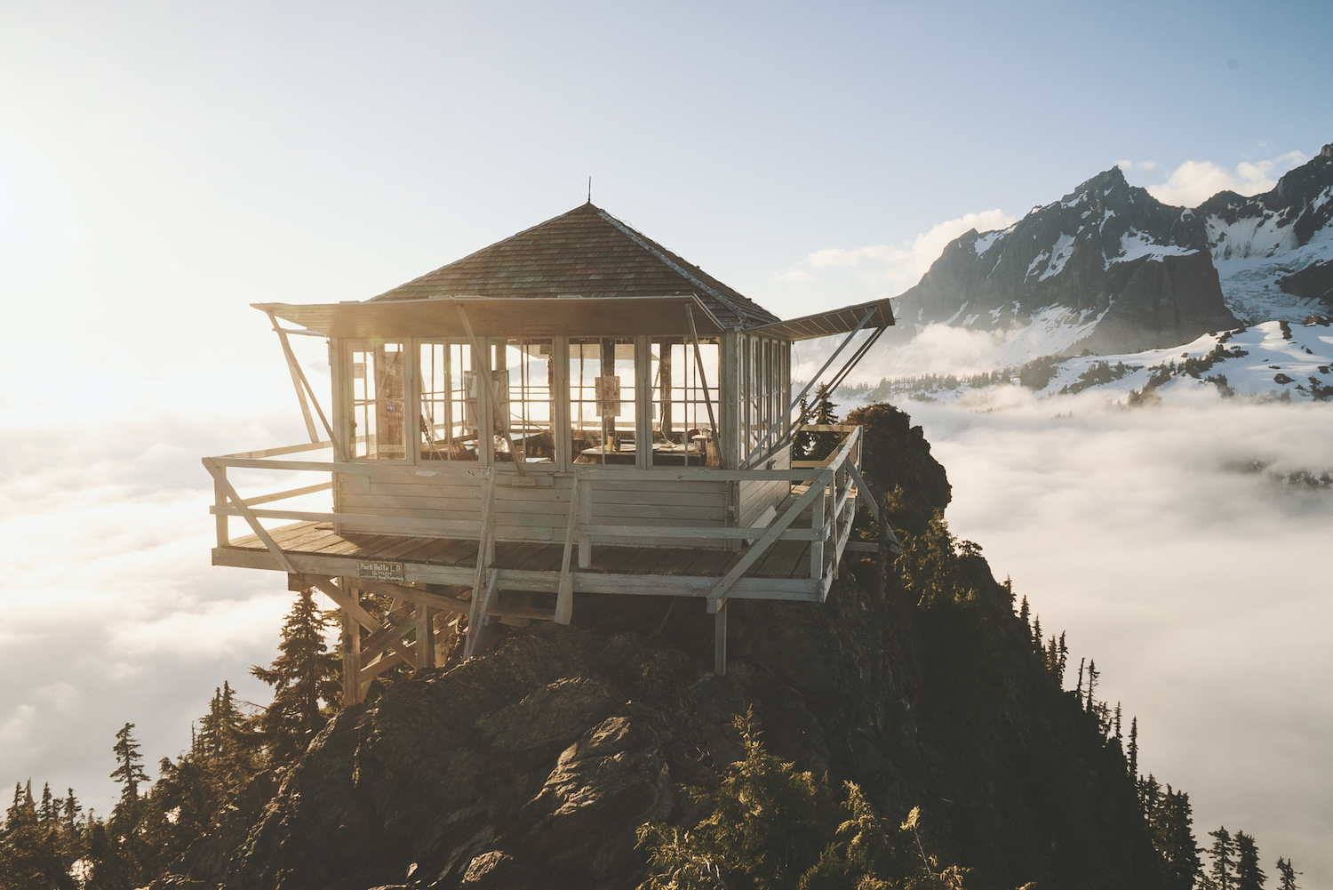
Nestled in the North Cascade Mountains, just below the grandeur of Mount Baker, lies Park Butte Lookout. Perched at 5,450 feet, it offers unparalleled panoramic views of the surrounding peaks and the sweeping majesty of Mount Baker. This guide to hiking and camping at Park Butte Lookout will provide you with all the essentials for savoring this hidden gem.
Why is Park Butte so sought after?
Park Butte Lookout is one of the few fire lookouts in Washington state that operates on a first-come, first-served basis. This means that no permits or reservations are required, making it accessible to all who venture there.
When is the best time to stay at Park Butte Lookout?
As for the best time to stay at Park Butte Lookout, the peak summer months from July to September offer ideal weather conditions. However, it’s worth noting that this period also attracts a surge of backpackers vying for a night at the lookout.
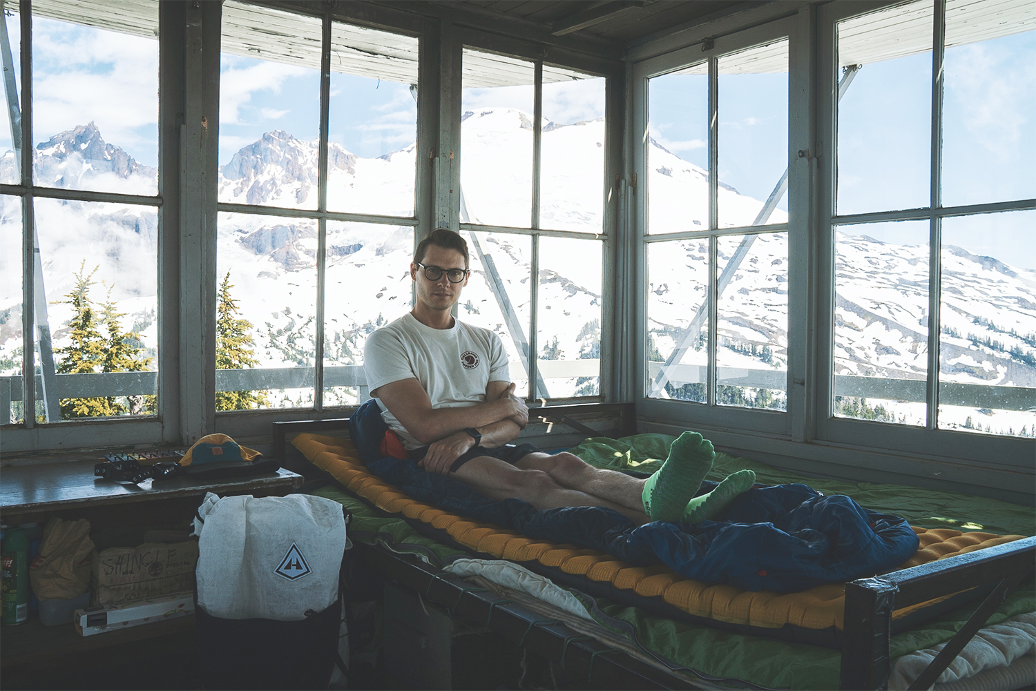
During peak season, snow is unlikely to be an issue, but to increase your chances of securing the lookout, consider embarking on the hike early in the season. For instance, my own trip on June 12th (a Monday) resulted in me being the sole occupant of the lookout.
Getting to the Park Butte Trailhead
Starting from Sedro-Woolley, Washington, head east on State Route 20 for about 16 miles until you reach milepost 82. Take a left (north) onto the Baker Lake Highway. After about 12 miles, make a left onto Forest Service Road 12. Travel 3.6 miles until you reach the junction with Forest Service Road 13. Keep right and continue on Forest Service Road 13 for 5.3 miles until you reach the trailhead at the road’s end. Directions to the Trailhead.
NF-12 offers fairly good road conditions, but upon turning onto NF-13, expect significant deterioration. Potholes and rocky terrain make for slow travel, ideally requiring a high-clearance vehicle. Even in mid-June, patches of snow were still present.
Permits Required for Park Butte
As mentioned, there are no permits or reservations for staying at the lookout. However you will need either a Northwest Forest Pass or a National Parks Pass for parking at the trailhead.
Is there cell service at Park Butte?
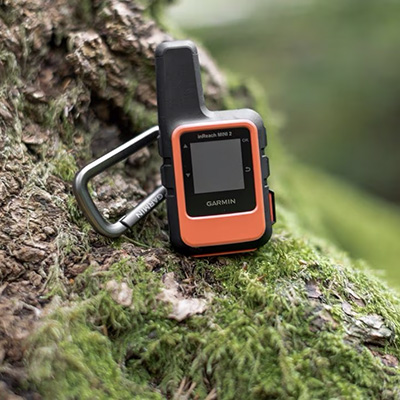
During the hike there won’t be any cell service whatsoever but you might be able to get a text out at the fire lookout. I was able to send a few messages out while staying at the lookout. The signal would come and go and is by no means reliable. You will want to download any maps you need before your trip. I always carry a Garmin inReach with me to update family or friends on my location or have for emergency situation.
The Hike to Park Butte Lookout
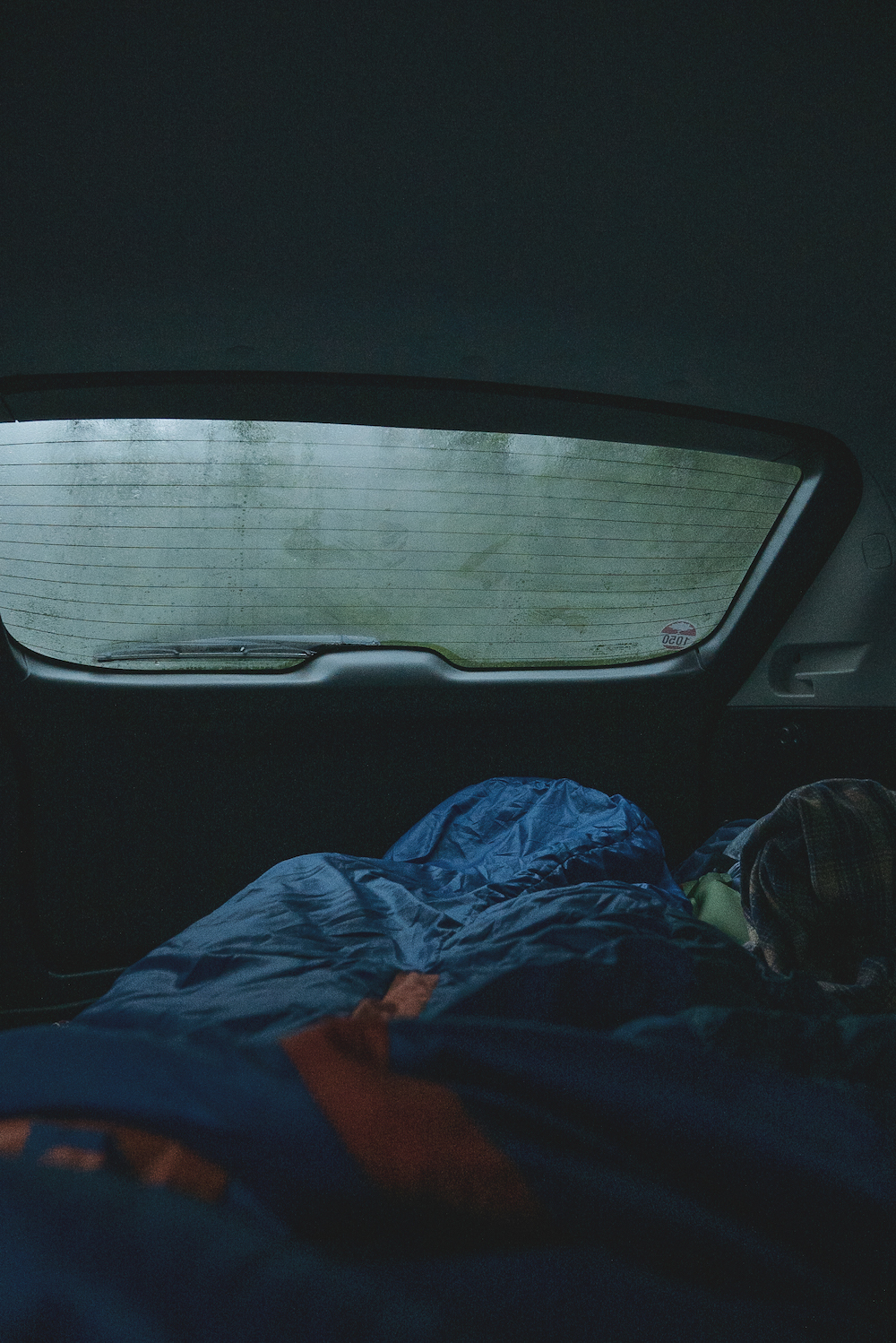
I spent the night sleeping in my car before heading out super early in the morning. There were a ton of others doing exactly the same thing but most of them were there to summit Baker. By 5am most were waking up or just rolling into the trailhead. I thought I’d be competing with a ton of backpackers who also wanted to spend the night at the lookout – that actually wasn’t the case!
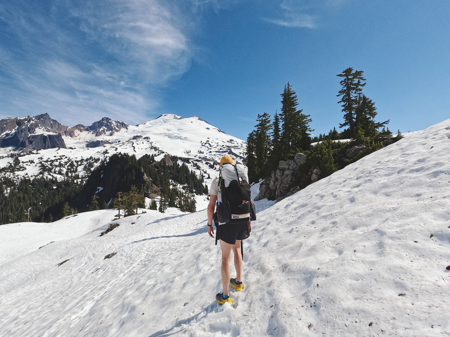
The trail starts by immediately crossing over Sulphur Creek and meandering through Schrieber’s Meadow. This section has barely any elevation gain and just ebbs and flows through the meadow. Patches of snow give way to a muddy trail. In mid-June, there were just small signs of new growth here in the meadows but it was mostly dead grass. Come here a month later and this meadow will be filled with a huge variety of wildflowers!
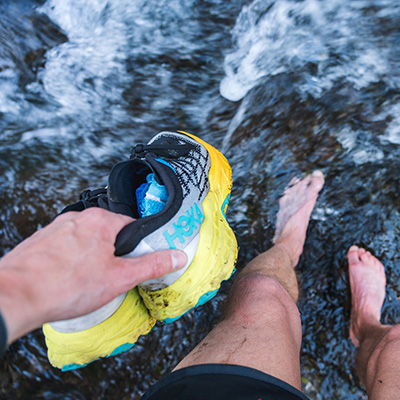
Sulphur Creek follows the trail to your right side and eventually veers off but you’ll pick up Rocky Creek to your left and will ultimately have to cross this. During peak season there’s a bridge that is put in place to easily get by but in the off-season that bridge isn’t available. You’ll have to cross icy cold Rocky Creek by finding the best route which involves rock hopping. I found the best route was to head upstream slightly.
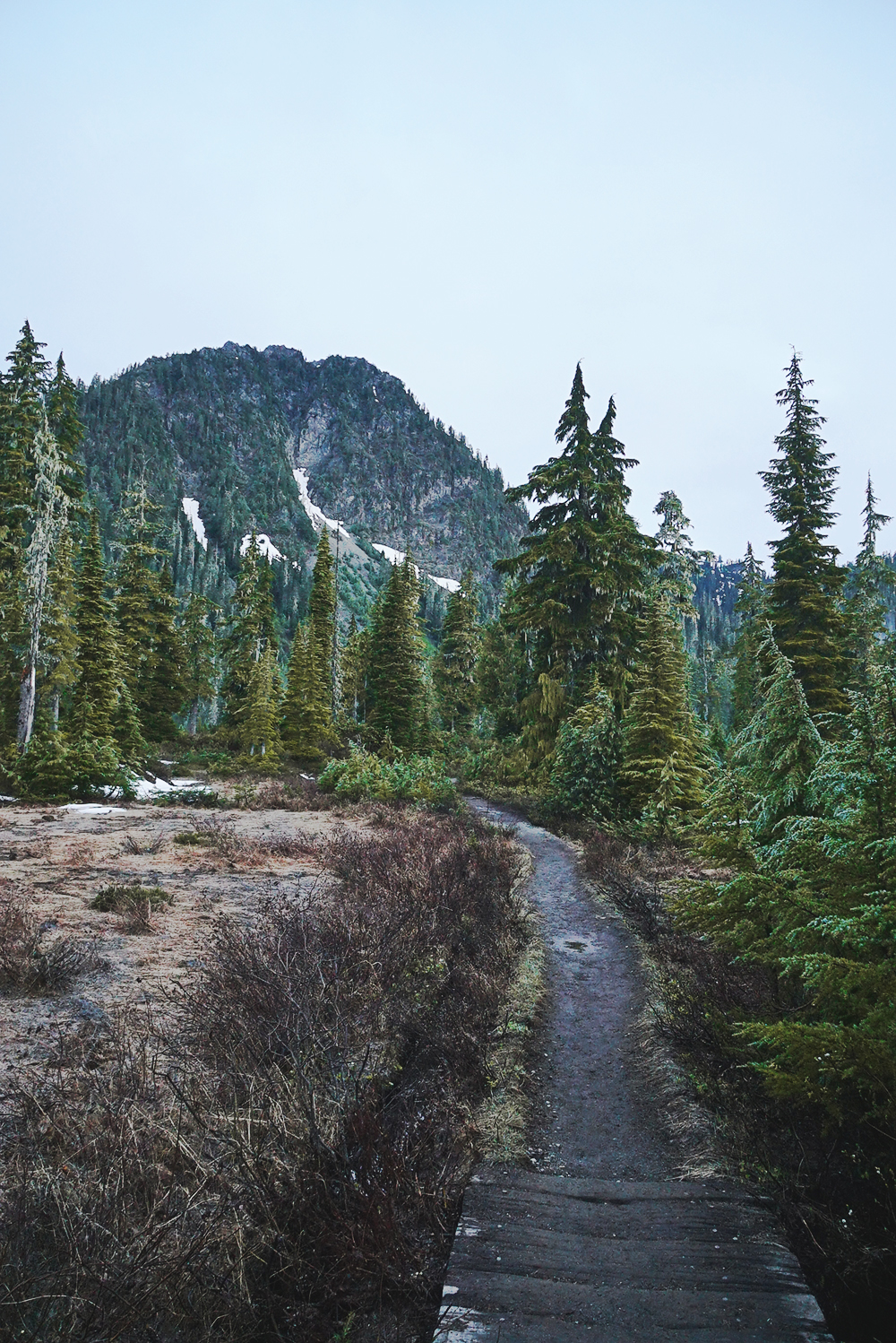
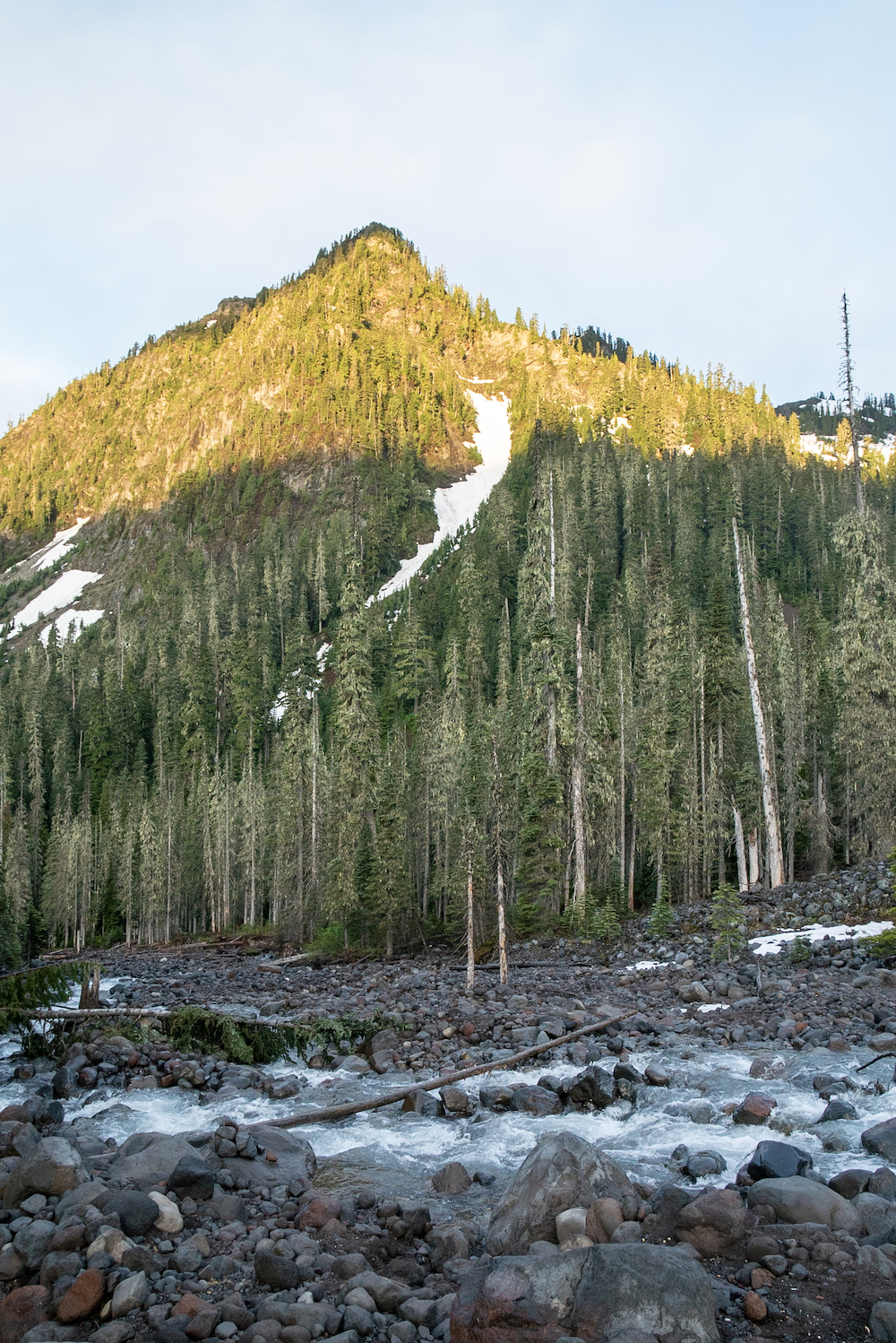
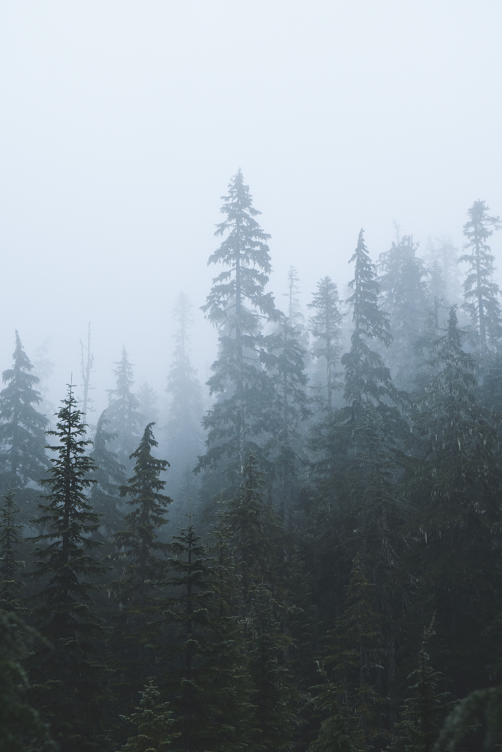
Beyond the creek crossing, the elevation begins to increase rapidly. The next 1.5 miles is where a bulk of the elevation occurs. There are numerous switchbacks to help smooth out the quick rise in elevation. Enjoy the pine forest here filled with Hemlock and Douglas fir because soon you’ll emerge from the forest into open alpine terrain.
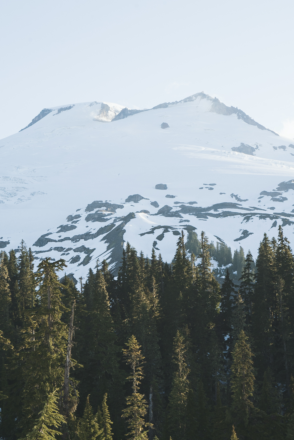
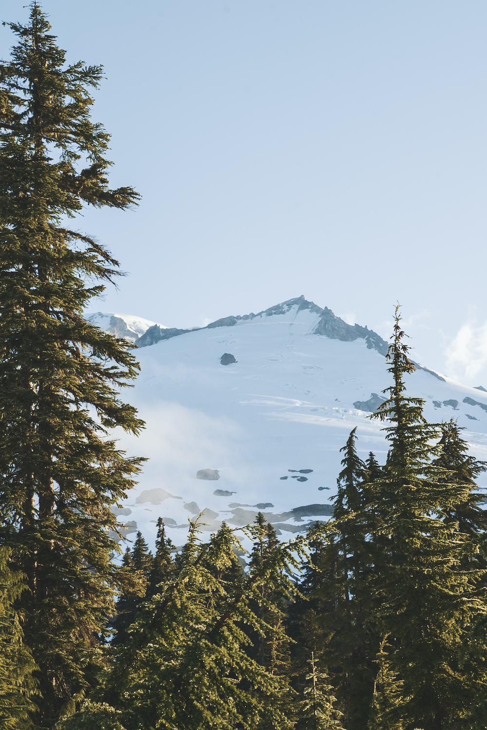
At just under 2 miles in the trail splits off with the Scott Paul Trail. Stay left to continue towards Park Butte. Due to the snow depth I missed this turn-off and continued up the Scott Paul Trail but quickly realized I made a wrong turn so I just created my own course over the snowfields and eventually merged back onto the main trail.
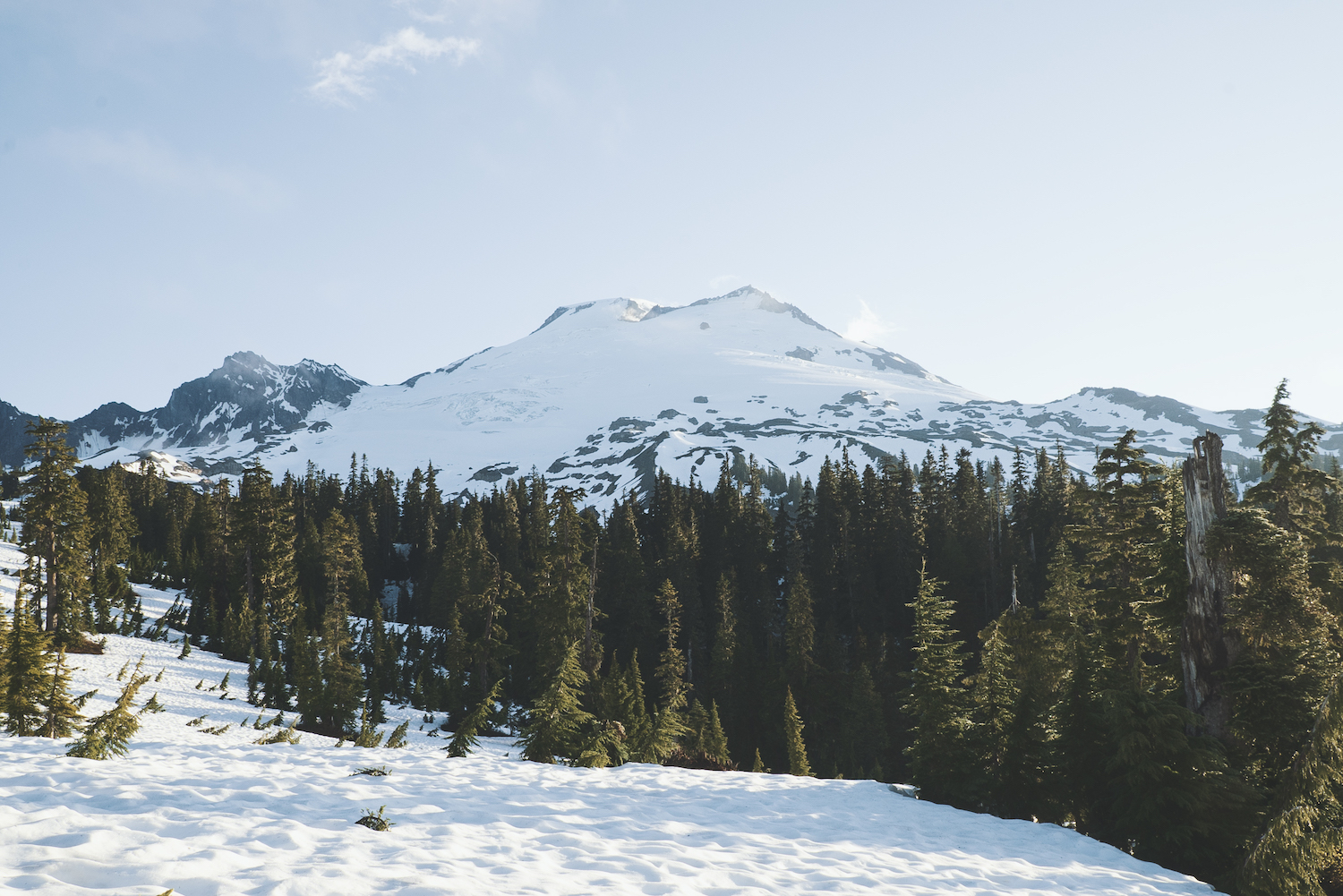
I’ve hiked this trail during peak summer and after emerging from the forested trail and into the alpine terrain, expect to see a ton of wildflowers within the alpine meadows. There will be a couple of trail cut-offs to the right – Railroad Grade and Bell Pass trails. Do not take these – they are for trails that head up towards Mount Baker. When in doubt, just stay left for this one.
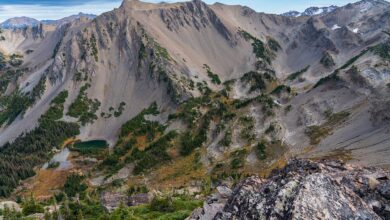
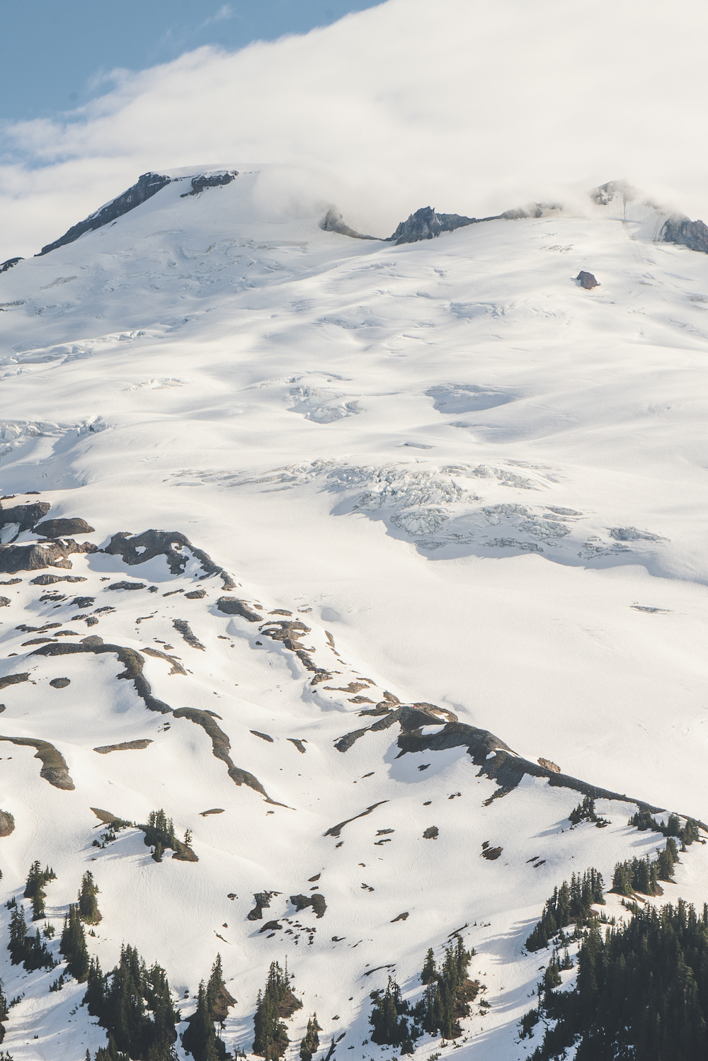
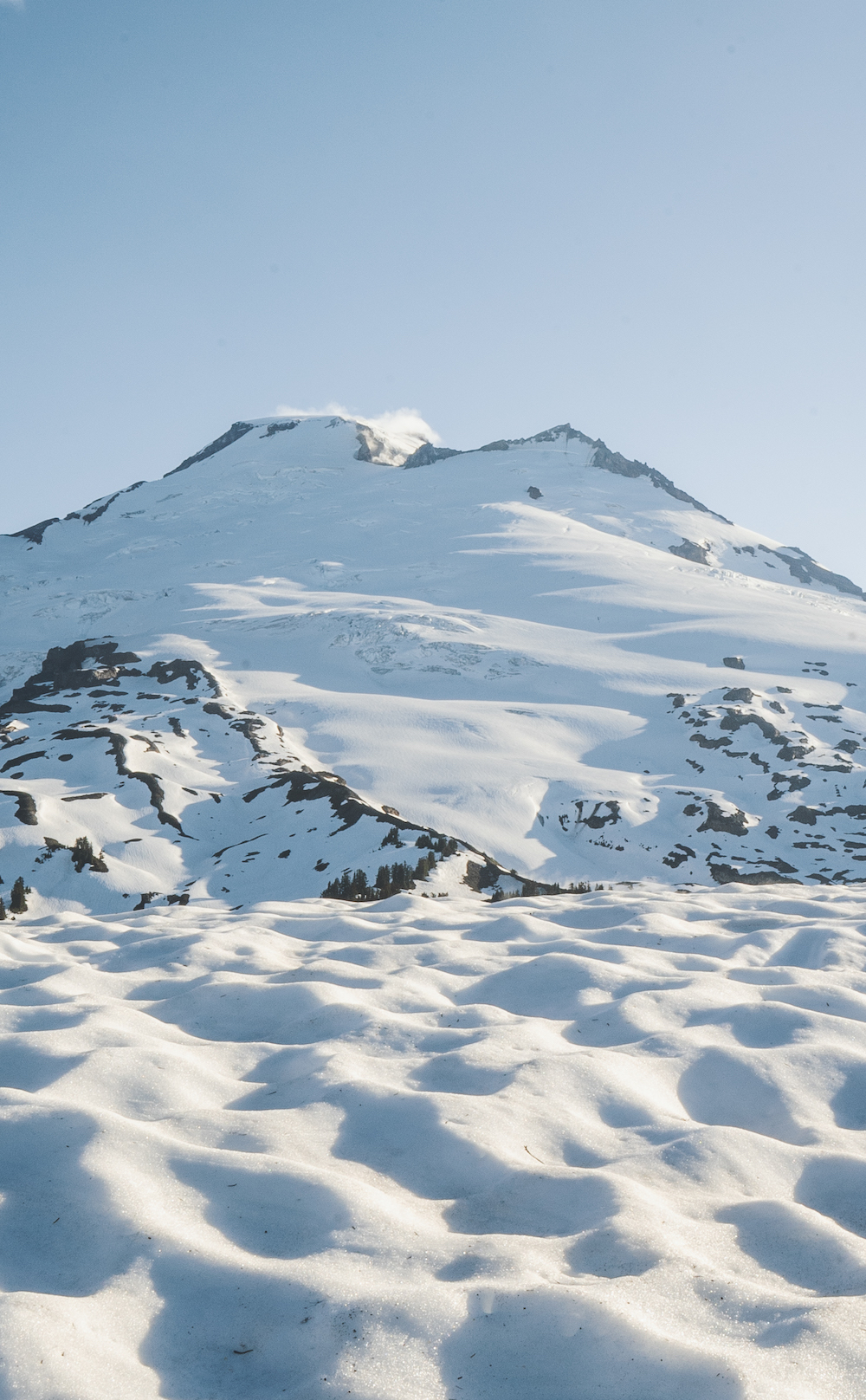
At about 3 miles in, you’ll start to see some campsites located near the Railroad Grade and Bell Pass trails. Also, spot the small tarns (small mountain ponds). If you need water, this is going to be the best spot to fill up before reaching the lookout. From here, you will make the last push towards the summit of Park Butte. This last section becomes rocky.
What’s the camping etiquette at Park Butte Lookout?
Park Butte Lookout is first come, first served and doesn’t require reservations. If you are the first one to arrive, you cannot turn others away nor should anyone gatekeep. Expect to share the tower with others and make some new friends! There are going to be a ton of day hikers visiting the lookout, especially during summer, so you should expect a huge amount of traffic inside the lookout. This is why I advocate you do this early or late in the season.
Where are the water sources located?
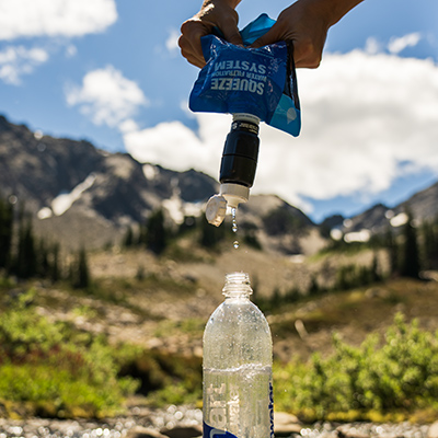
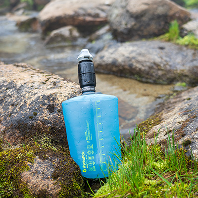
During the summer, the best location for water will be the tarns about a half mile below the summit. Your best bet would be to fill up at least a gallon to make it through the night so you don’t have to head back down for water. In mid-June, these tarns were completely covered in snow but I was able to direct snowmelt to fill up my water bottles. A stove to boil snow would also suffice.
Alternative camping locations
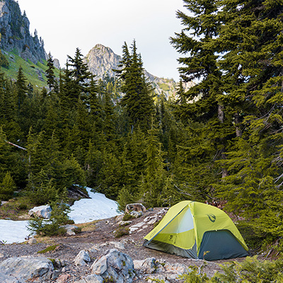
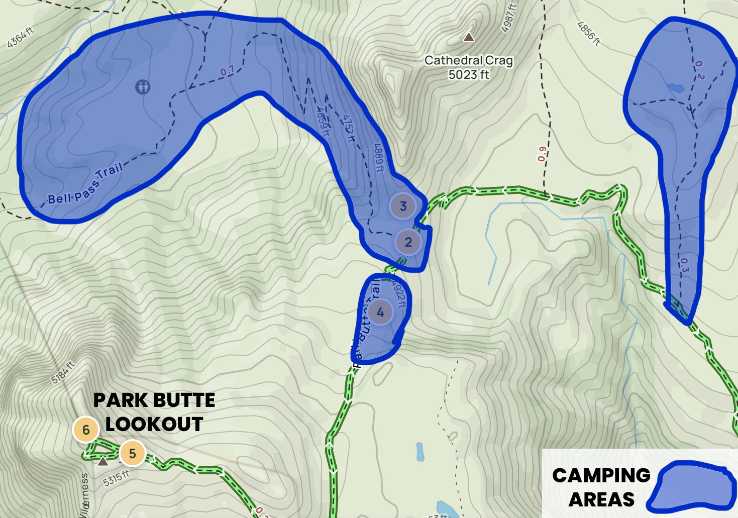
If the lookout is completely full, you will have to find alternative camping locations. The regulations on camping aren’t 100% clear. The Forest Service indicates that campsites are available along Railroad Grade Trail, Mazama Park, and along Bell Pass Trail. AllTrails also indicates an additional camping area. The map below shows all the possible camping areas. As long as you camp on durable areas, at least 200 feet from trails, away from fragile plant life, and not next to the alpine tarns you should be okay.
A Look Inside Park Butte Lookout
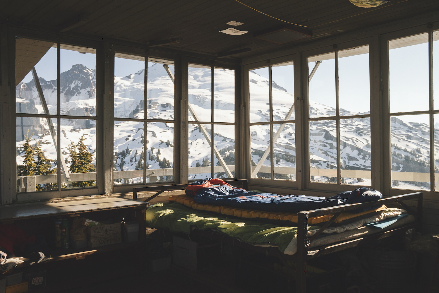
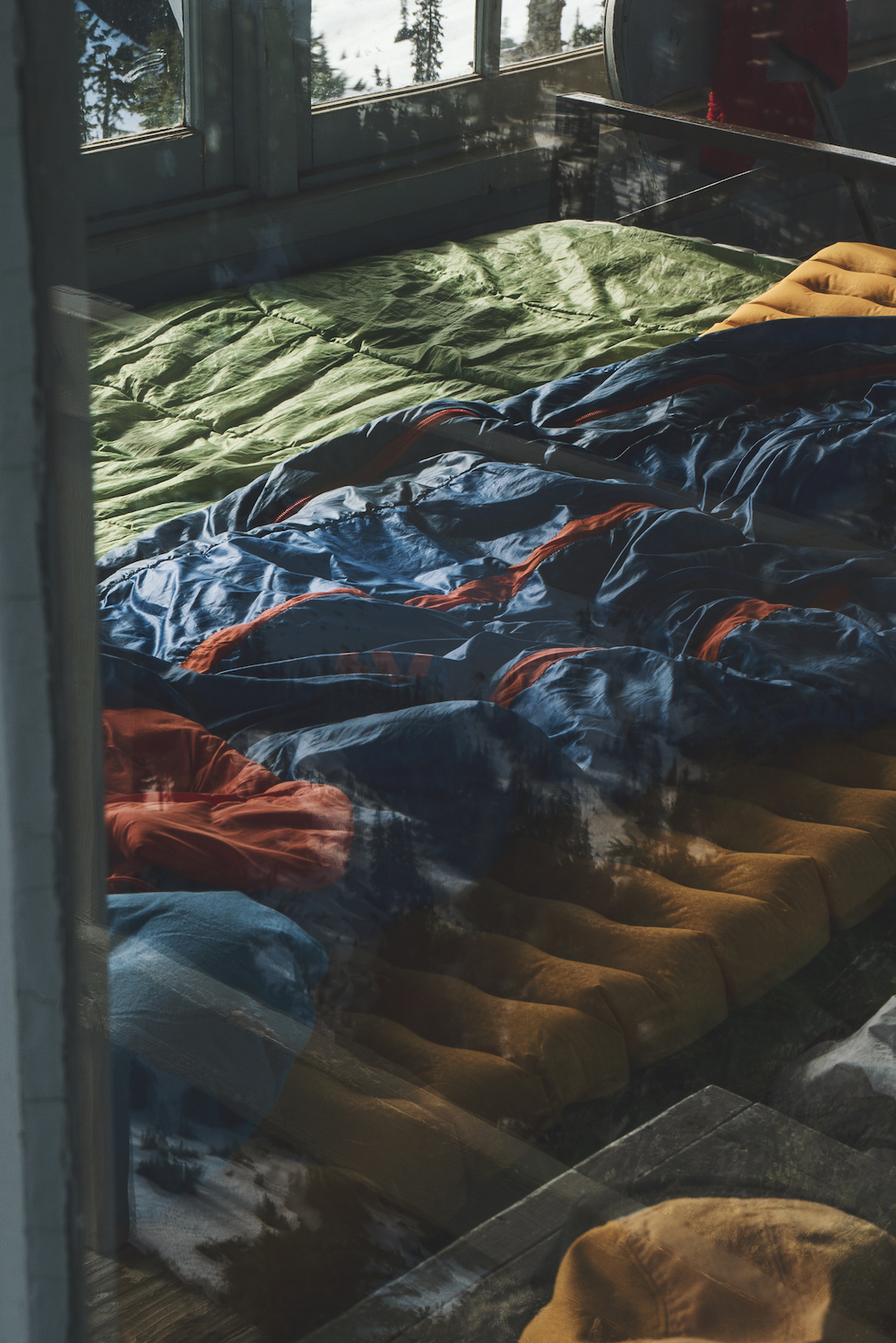
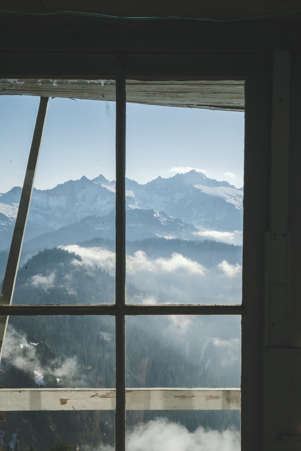
What’s provided at Park Butte Lookout?
Park Butte Lookout is barebones in terms of amenities and supplies. If you are looking to avoid taking up gear thinking you’ll find it at the firepower – think again! I filmed a short tour video of the lookout! Some of the basic amenities included are:
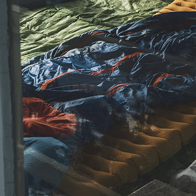
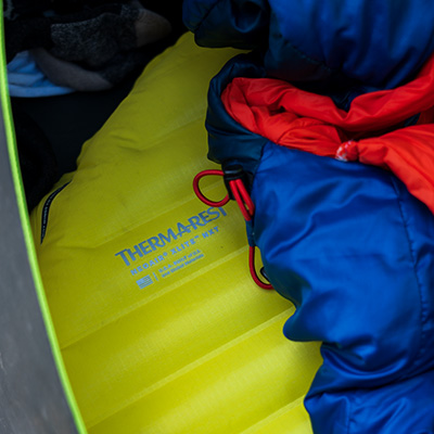
- Metal bed platform with a foam mat and sleeping bag (don’t expect to use this sleeping bag!)
- A few additional thin sleeping pads
- Board games
- Small table and chairs
- Old vintage maps from when the tower was operational
- Battery-operated ferry lights
- Blue bags (for pooping in – there are no toilets here!)
- Visitor log
- Lighting stool
- A small camera tripod
Opening the Shutters on Park Butte Lookout
During the winter months, the shutters protecting the lookout remain closed. As the weather improves, caretakers will come to the tower and open them. When I arrived at the tower, not all the shutters were open. To open a shutter, you lift it up, push it away from the building, and then use the hinged poles to support it. The poles fit into slots against the building, keeping the shutter securely in place. This simple mechanism allows the shutters to stay open, providing shade and ventilation.
My Experience at Park Butte and Why You Should Go
Before heading to Park Butte, I was in the midst of reading Desolation Angles by Jack Kerouac which details his experience at the Desolation Peak fire tower in the North Cascades. Like him, I was seeking solace and enlightenment in these same mountains.
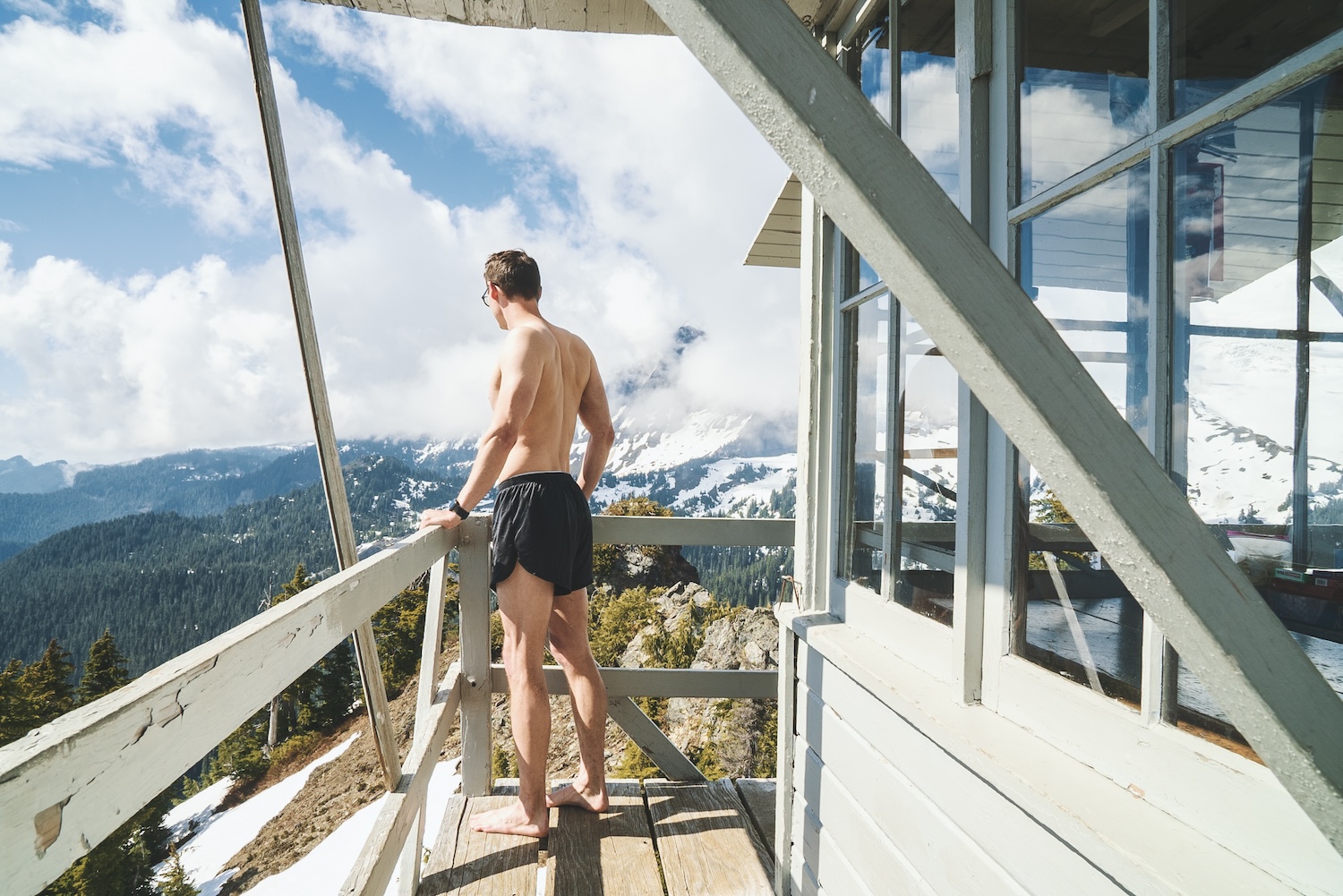
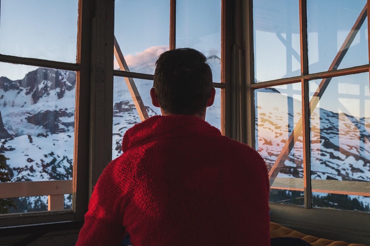
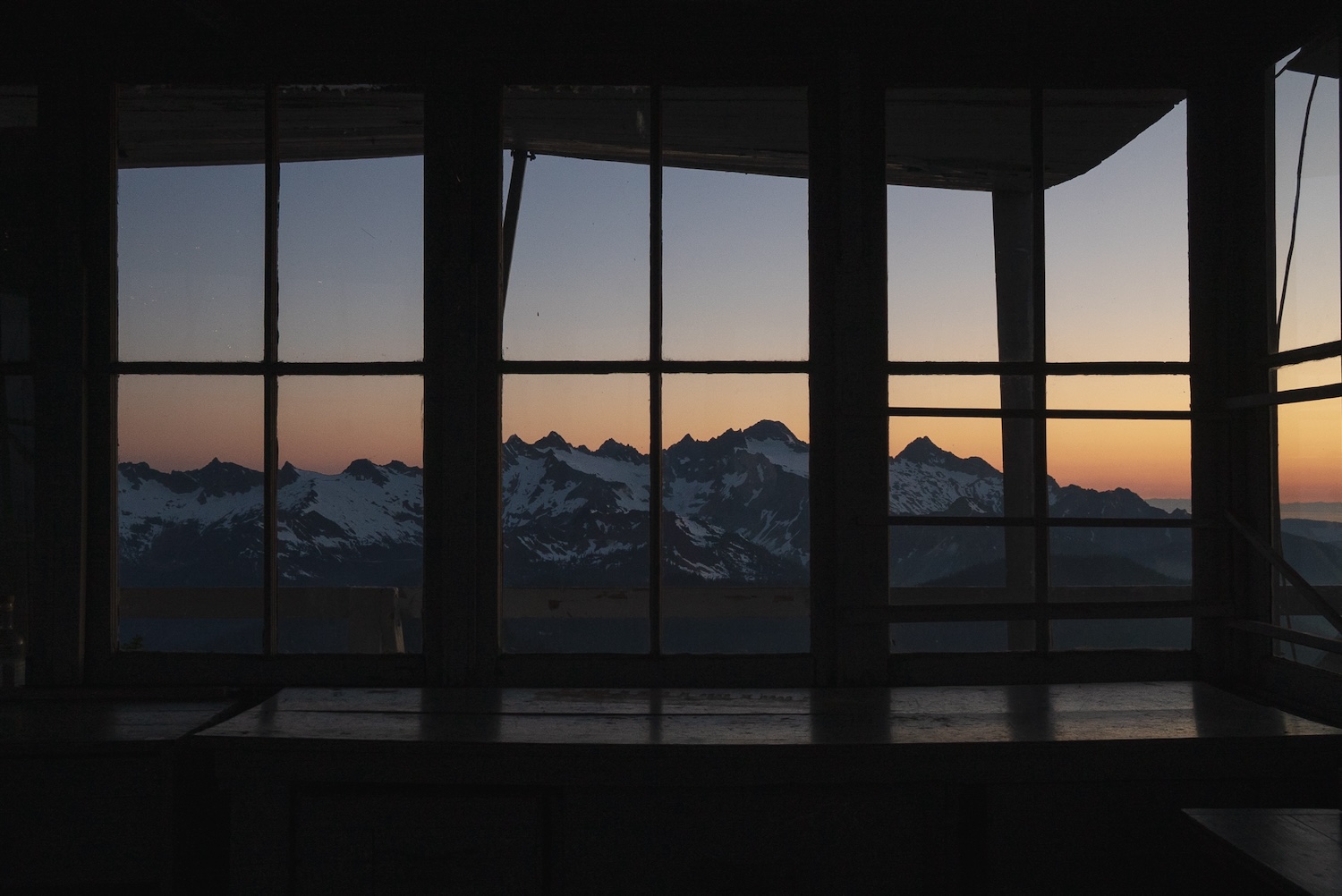
The view from the lookout was nothing short of breathtaking. Surrounded by the rugged beauty of the North Cascades, I felt a profound connection to nature and a sense of peace watching the light continuously change by the hour.
Inside the tower, the journals left by previous visitors bore witness to the transformative power of the lookout experience. Page after page, they revealed tales of self-discovery, adventure, and moments of quiet reflection. I added my own entry, sharing my thoughts and gratitude for this incredible place.
Kerouac sums it up best, “So shut up, live, travel, adventure, bless and don’t be sorry.”
