Maple Pass Loop Hiking Guide: Best Day Hike in Washington’s North Cascades
The title of “best hike in Washington” gets thrown around a lot, and Maple Pass Loop is always in the mix. But is it really the best? Let’s find out.
This 8-mile loop in the North Cascades has it all: alpine scenery, sparkling lakes, and sweeping views of rugged peaks. Winding through lush forests and wildflower meadows, the trail offers something special in every season.
In summer, the meadows bloom with vibrant wildflowers. In fall, the landscape transforms with fiery reds and golden larches. Whichever season you choose, Maple Pass won’t disappoint.
Getting to the Maple Pass Trailhead (Rainy Pass)
The Maple Pass Trailhead is about a 3-hour drive from Seattle, so if you’re planning to do this as a day hike, it requires an early start. I recommend securing a campsite the night before (more on that later). The trailhead is located off Highway 20, about 30 miles past Diablo Lake if you’re coming from Seattle. It’s worth noting that the Rainy Pass Trailhead, essentially the same trailhead, also provides access to the loop. Keep in mind that Highway 20 closes in November and typically reopens around April or May, depending on snow levels. See WSDOT pass closure updates.
Be aware that this trailhead gets very busy, especially on weekends and during larch season the line of cars can stretch more than 2 miles from the trailhead, so plan to arrive early to snag a parking spot. There are vault toilets here.
The best time to hike Maple Pass Loop
The Maple Pass Loop is best hiked from July to October when snow is minimal. It’s a very popular trail, so expect heavy foot traffic, especially on weekends. During larch season, from late September to mid-October, the deciduous larches turn a brilliant gold, drawing even more hikers to the stunning alpine scenery. The trails can get packed, and personally, I think it detracts from the experience—especially on weekends. I’d recommend avoiding weekends during larch season and taking a day off to enjoy the trail on a quieter weekday.
Today
59°F
Sunny
Tonight
45°F
Mostly Clear
Tue
63°F
Sunny
Today
59°F
Sunny
Tonight
45°F
Mostly Clear
Tue
63°F
Sunny
Tue Night
49°F
Partly Cloudy
Wed
62°F
Mostly Sunny
Wed Night
48°F
Mostly Clear
What Direction to Hike the Loop? Clockwise or Counter Clockwise?
There’s a bit of a contested debate among hikers about which direction is best for tackling the Maple Pass Loop. Most choose to go counter-clockwise for the more dramatic, sweeping views of the North Cascades—and I have to agree with that. However, doing the loop clockwise gets the bulk of the elevation gain done faster and provides a gentler descent, which can be easier on your knees. In the end, it all comes down to personal preference.
Hiking Maple Pass Loop
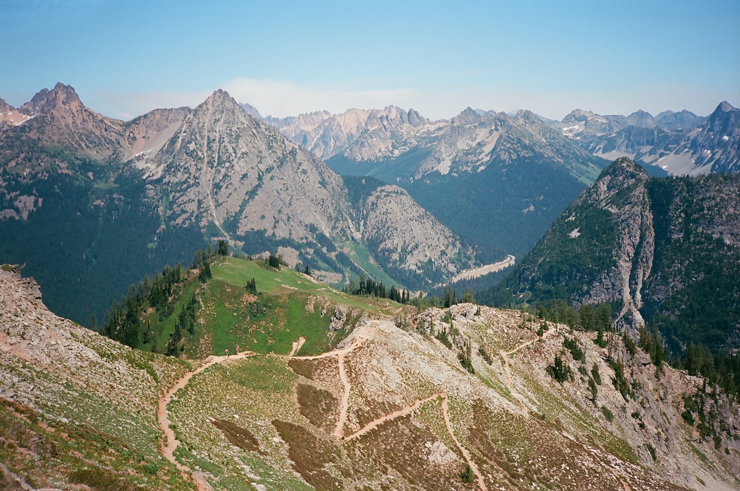
The trail starts off fairly easy if you’re heading counter-clockwise, winding through a beautiful pine forest. As expected with such a heavily trafficked and popular hike, the trail is very well maintained. In the first mile, you’ll gain around 300 feet of elevation and encounter your first switchback, setting the stage for the climb ahead.
The junction for Lake Ann comes at 1.8 miles, after climbing about 600 feet of elevation. Along the way, you’ll weave in and out of the forest, crossing a few avalanche chutes, before emerging into a stunning meadow section just before reaching the Lake Ann junction.
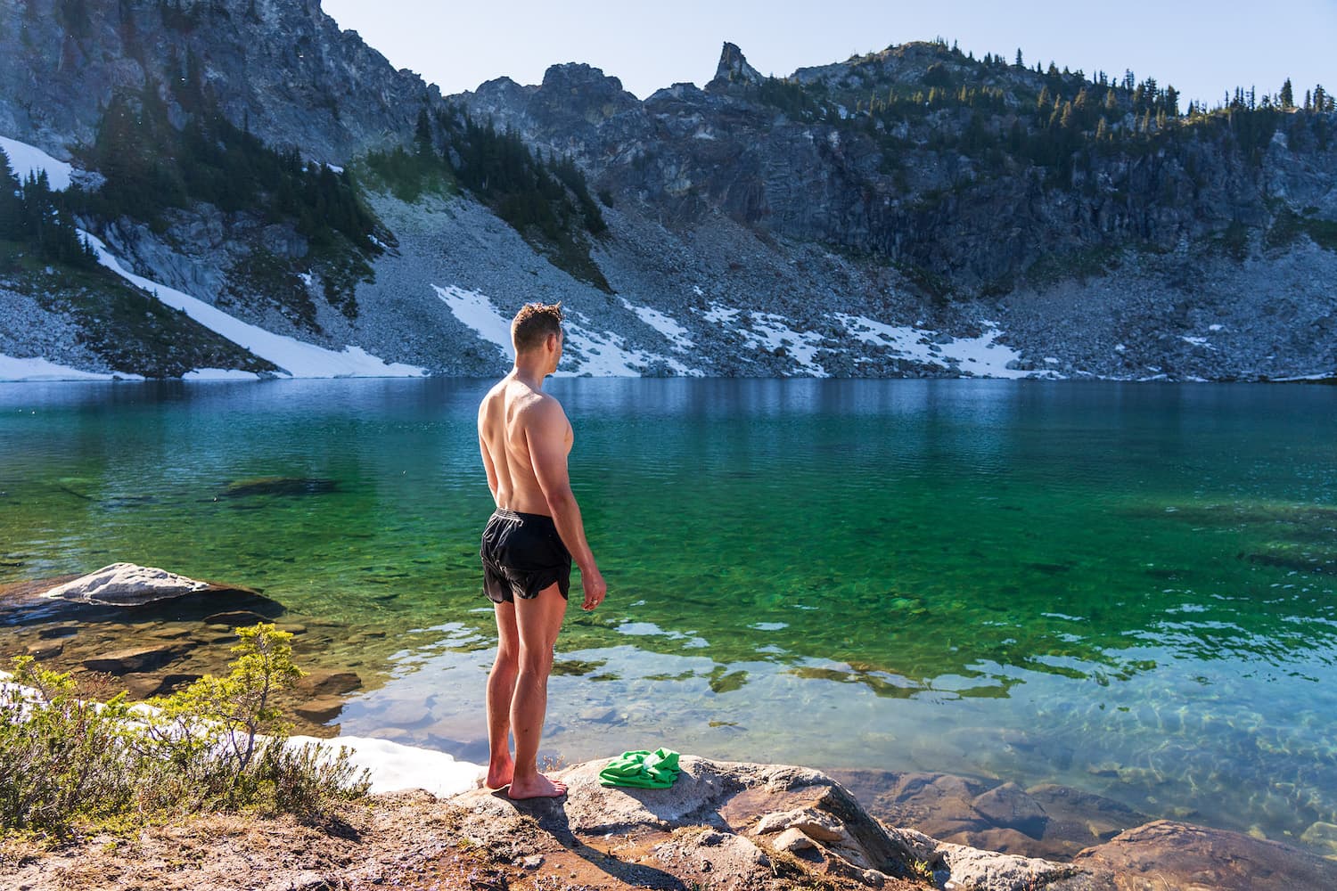
You can choose to head down to Lake Ann or continue by keeping right to stay on the main trail, which climbs the ridge overlooking the lake. From this point on, you’ll be above the treeline for most of the hike (bring sun protection!), offering stunning, uninterrupted views. The sight of Lake Ann below, framed by towering mountains, is breathtaking. In the fall, larches dotting the hillside add a burst of spectacular color to the landscape.
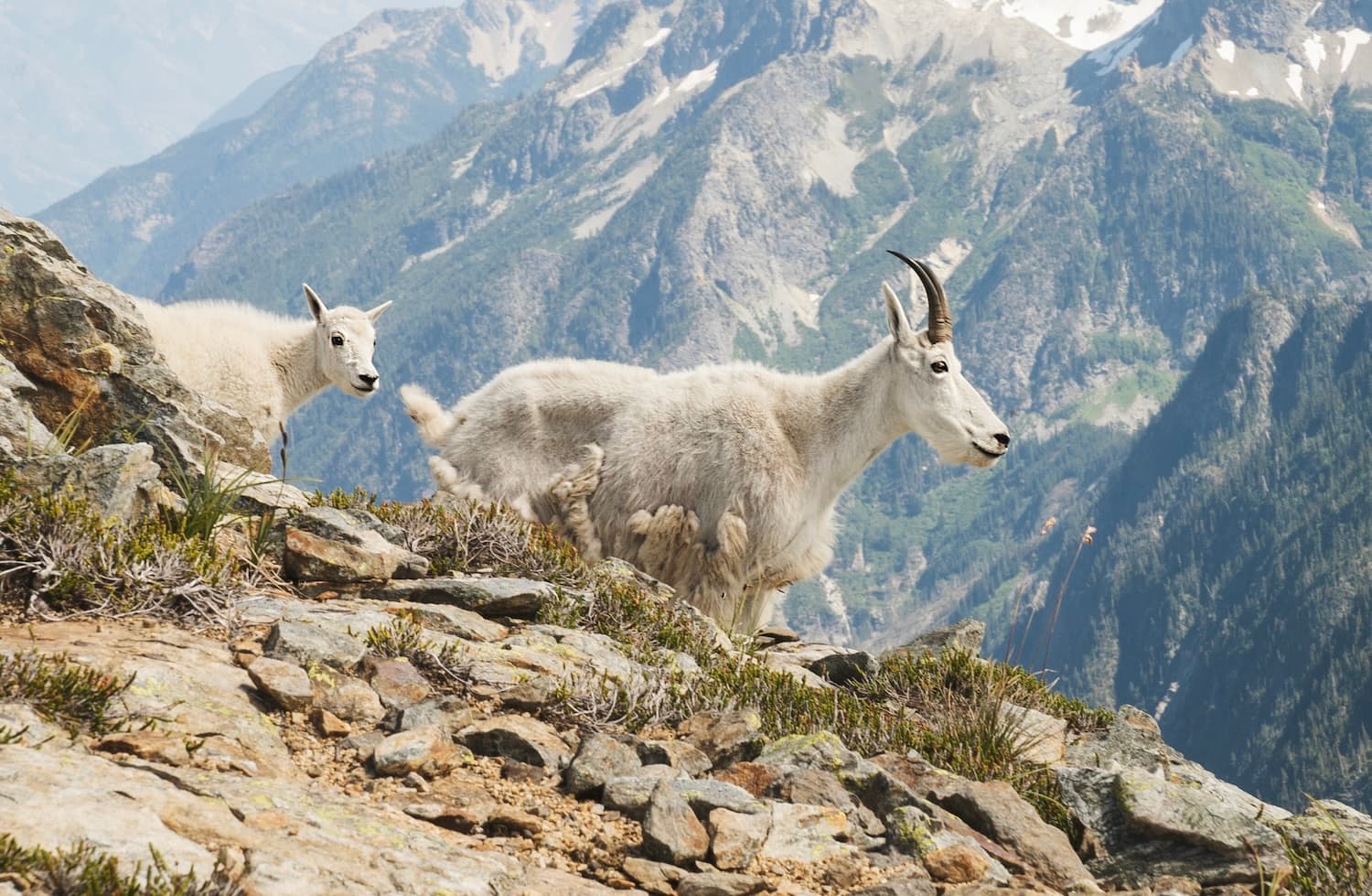
As you continue up the trail, you’re treated to gorgeous views of vibrant meadows and the turquoise waters of Lake Ann below, framed by subalpine fir. The higher you climb toward Heather Pass, the more dramatic the scenery becomes. In the fall, the slopes are covered in deep reds and oranges from huckleberry bushes, creating a stunning display of color. Along this stretch, listen for the calls of pikas as they dart between the rocks.
Eventually, you’ll reach Heather Pass, where the trail splits off to the right toward Lewis and Wing Lakes. This side trail is more treacherous and better suited for experienced hikers or backpackers planning to spend the night at one of the lakes. Stay left to continue along the Maple Pass Trail.
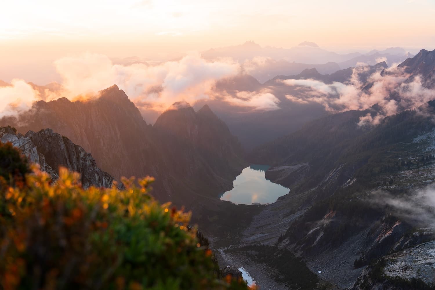
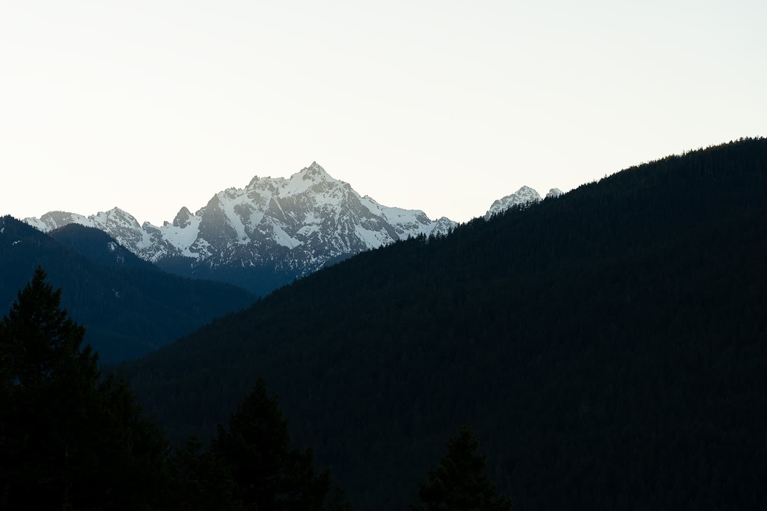
From Heather Pass, the trail becomes steeper and rockier as you head toward Maple Pass. As you round Lake Ann, you’ll get different perspectives of it while navigating the ridgeline. Snow often lingers in this area well into July, so be prepared for patches along the way.
Similar hikes worth exploring.
My favorite part of the trail is just as you enter North Cascades National Park. The trail hugs the park’s boundary, and Corteo Peak rises dramatically in front of you as you approach. From this higher vantage point, the view of Lake Ann becomes even more impressive, with additional North Cascade peaks revealing themselves in the distance.
After reaching the North Cascades National Park boundary sign, you’ll have about a mile left to reach Maple Pass, with another 400 feet of elevation to climb. The views remain impressive as you head up the pass, with additional sights to the south, including Frisco Mountain and glacial tarns.
The views from the top of Maple Pass, at 6,967 feet, are truly spectacular. This spot makes for a perfect lunch break after an early start on the trail. From the pass, you can see mountain after mountain stretching into the distance, and below, the trail zigzags down the mountainside in a series of switchbacks—a really cool sight!
After cresting the top of Maple Pass, you’ve got 3 miles left to the trailhead, with a steep descent of 2,100 feet. The ridge narrows, and the trail winds down through a series of switchbacks, eventually re-entering the thick pine forest. These short, frequent switchbacks drop elevation quickly, and I found this to be my least favorite section of the trail.
As the trail finally begins to flatten out, you’ll reach a paved section, a welcome sign that you’re nearly done with the hike—especially after that grueling downhill descent.
Water sources along Maple Pass Loop
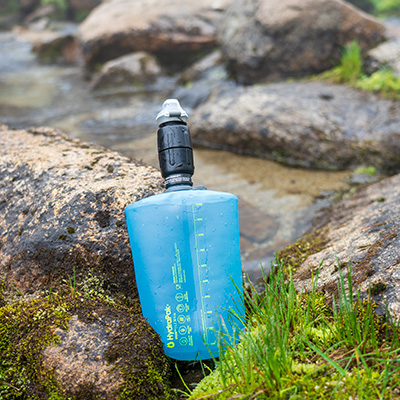
The water situation on this trail can vary widely depending on the season. Lake Ann offers a reliable water source, but it’s a 0.6-mile round trip from the main trail. In the spring and early summer, you’ll likely encounter small streams crossing the trail. However, later in the summer and into the fall, you shouldn’t expect to find any reliable water sources, so be prepared to bring enough water for the entire hike. Also, remember that any water collected from natural sources, including Lake Ann, should be filtered before drinking.
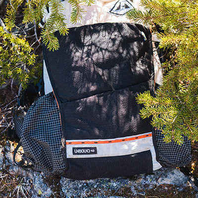
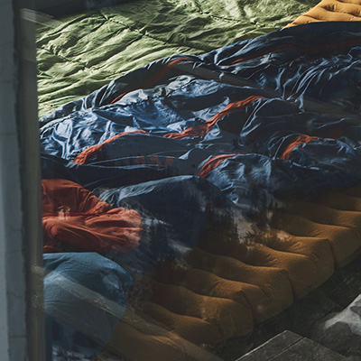
Kurt's Backpacking Gear
View My Full Gear List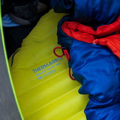
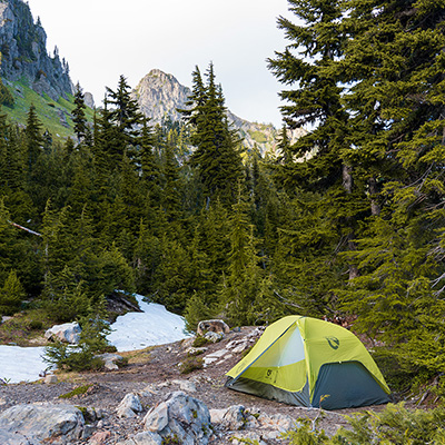
Can you camp on Maple Pass Loop?
There is no camping within 1/4 mile around Lake Ann or along the Heather/Maple Pass Loop Trail. However, from Heather Pass, you can hike up to Lewis and Wing Lake to camp.
Nearby Camping Options for Maple Pass Loop
If you’re planning to day hike the Maple Pass Loop but want to avoid a 3-hour drive before the hike, I recommend car or tent camping the night before near Highway 20, around the Diablo Lake area in North Cascades National Park. Here’s a list of campgrounds worth checking out:
- George Lake Campground (42 min)
- Newhalem Creek Campground (55 min)
- Goodell Creek Campground (55 min)
- Colonial Creek North Campground (40 min)
- Colonial Creek South Campground (40 min)
Is Maple Pass Loop the best hike in Washington’s North Cascades?
Maple Pass Loop is arguably one of the best hikes in the North Cascades, offering breathtaking views and diverse scenery, but it quickly loses its top spot when crowded, especially during weekends and peak larch season. If you can avoid the crowds, this hike has the potential to be a true standout. However, on busy days, the overwhelming foot traffic diminishes the experience, and you might find quieter alternatives that offer just as much beauty with more solitude.