Lake of the Angels: The Best Unknown Hike in Olympic National Park
I felt conflicted writing this because I believe I’ve discovered an incredible trail that I haven’t seen mentioned anywhere else. I had to conduct extensive research to determine if overnight camping was possible at Lake of the Angels in Olympic National Park. While exploring topo maps for my next hike, I noticed a stunning lake nestled in a deep bowl surrounded by mountains, reminiscent of the amazing Silver Lakes backpacking trip I’ve done. After figuring out how to backpack to the lake and stay overnight, I decided to share this information with you. This post will detail exactly how you can also enjoy the beauty of Lake of the Angels.
How to Overnight Camp at Lake of the Angels
Lake of the Angels is located in Olympic National Park which means that in order to camp there you would need to obtain a backcountry permit. The issue is how do you obtain one? If you go to recreation.gov and search the available permits you will see nowhere to book permits for Lake of the Angels. Here’s what you’ll need to do – call the Olympic National Park Wilderness Information Center and talk directly to a Ranger who will help you book the permit over the phone. Their phone number is (360) 565-3100 and they can reached 9 AM – 5 PM. They will ask for information and request a credit card to process the reservation. The process was extremely simple and easy to do.
Overnight
60°F
Mostly Cloudy
Mon
71°F
Partly Sunny
Mon Night
53°F
Mostly Clear
Overnight
60°F
Mostly Cloudy
Mon
71°F
Partly Sunny
Mon Night
53°F
Mostly Clear
Tue
58°F
Sunny
Tue Night
44°F
Mostly Clear
Wed
57°F
Sunny
The Best Time to Hike Lake of the Angels
The ideal time to hike to Lake of the Angels is late June to October. By June, much of the snow should be melted at the lake which sits at an elevation of 5,000 feet. I did this hike the first week of July and still came across a few snow patches but the majority of the snow was melted.
Getting to the Trailhead
Getting to the Lake of the Angels Trailhead is straightforward and easy. From Highway 101, turn onto the paved Hamma Hamma Road (NF-25) that runs past the Lena Lake/Brother Trailhead. Just past that, the road turns into a gravel road for the next 4 miles until you reach the trailhead. Watch out for occasional unmarked potholes that can catch you off guard if you’re not careful! Parking is fairly limited here but doesn’t usually receive much traffic. Note that there are no toilets available at the trailhead, so plan accordingly.
Required Passes for the Hike
As mentioned, in order to camp overnight at Lake of the Angels you’ll need a backcountry wilderness permit. You’ll also need either a Northwest Forest Pass or National Park Pass for your car at the trailhead. If you are only day hiking the trail then you will not need to obtain any permits.
The Hike to Lake of the Angels: A Detailed Trail Guide
The hike to Lake of the Angels begins with a steady slope upwards for the first half mile. This section of the trail is relatively easy, providing a gentle introduction to the hike. The trail is narrow and slightly overgrown due to low traffic, but nothing too challenging. Along the way, you’ll be treated to some lovely stream views.
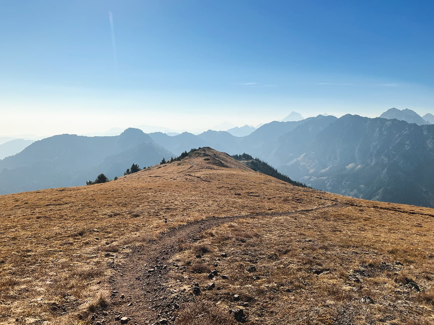
As you progress, the trail alternates between abrupt steep sections and flat grades. This pattern repeats several times, adding a bit of variety to your climb. The breeze feels refreshing along the ridge, and the trail begins to offer stunning views of the distant mountains, particullary Mount Pershing and Jefferson Peak. At around 0.8 miles, the vistas are breathtaking, with the lighting creating a magical effect on the trees and peaks. The trail then passes through a steep avalanche chute with a small stream running down the middle, offering more distant views.
At about 1 mile in, you encounter the first significant stream crossing, a perfect spot to refill your water if needed. The trail flattens slightly at around 1.2 miles before steepening again and heading back into the forest. At 1.4 miles, you reach a trail junction; stay right and prepare for a series of steep switchbacks. After tackling these switchbacks, you’ll find a log at the top where you can take a much-needed break.
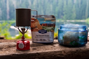
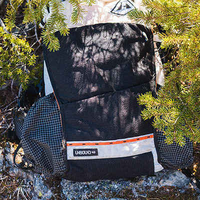
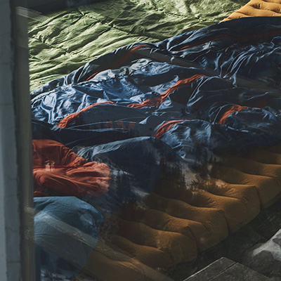
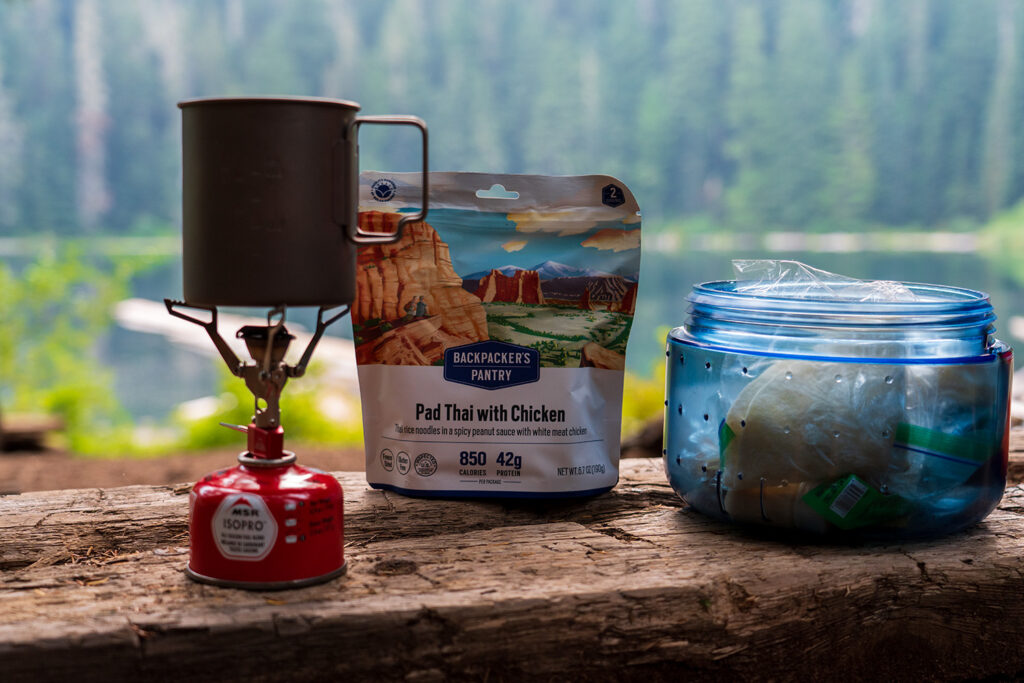
Kurt's Backpacking Gear
View My Full Gear List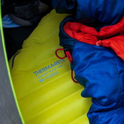
The trail continues through a dense pine forest filled with tall Douglas fir and spruce trees. The canopy opens up slightly here, providing a mix of shade and sunlight. The climb remains steep, with occasional switchbacks and a straight uphill path. Around the 2-mile mark, you might find a small stream crossing the trail, offering another opportunity to refill your water.
At approximately 2.3 miles, you pass through the Whitehorse camp area, which opens up into a meadow with expansive views of your upcoming climb. Soon after, you’ll encounter the notorious section with a rope and a large root climb. Despite its reputation, this part is straightforward and not too technical. After conquering this section, take a break at a scenic viewpoint that has distance Mount Rainier views.
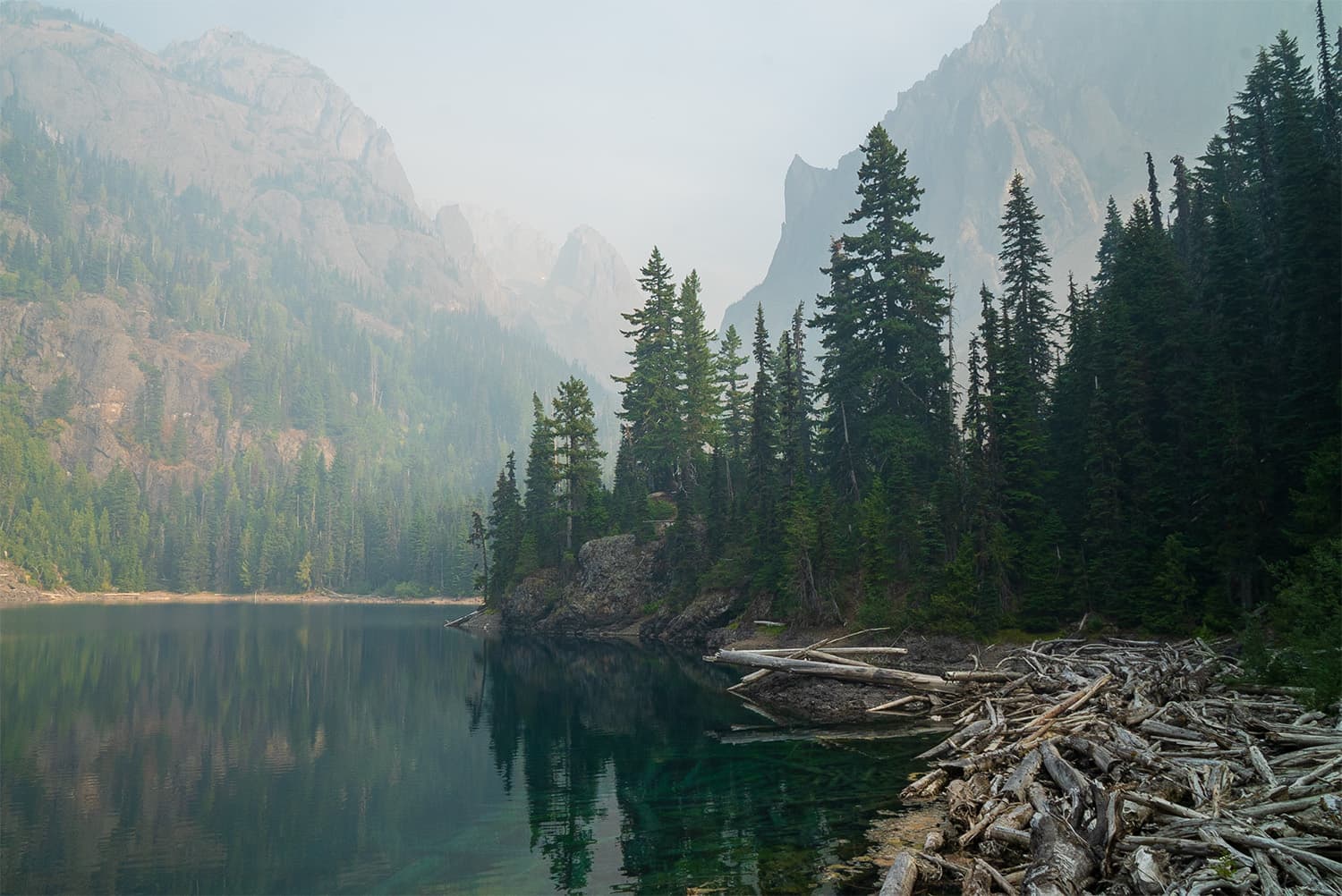
The trail flattens out slightly at around 2.7 miles, giving you a brief respite from the relentless elevation gain. The views of the Lake of the Angels area start to open up, offering glimpses of your destination. Along this stretch, you’ll see a beautiful waterfall in the distance and cross a small stream at 2.85 miles, surrounded by wildflowers.
Similar hikes worth exploring.
As you approach the 3-mile mark, the trail becomes muddy and swampy, particularly in the early summer from recent snowmelt. At 3.7 miles, there’s another stream crossing, which might require some maneuvering in the spring. However, in the summer, crossing should be straightforward.
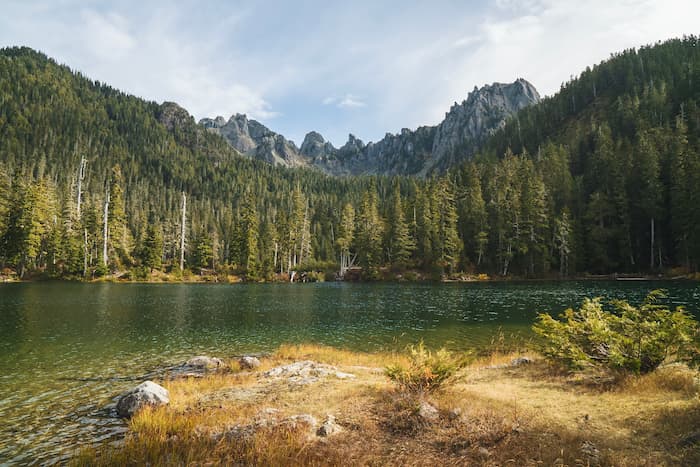
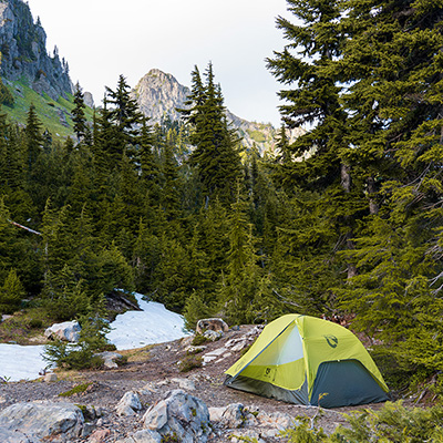
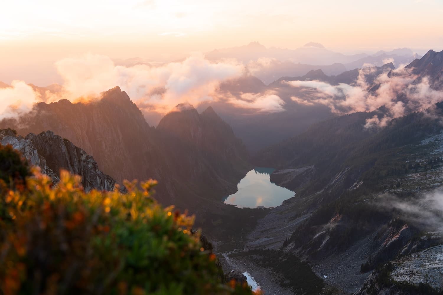
There’s a final push in elevation to the lake consisting of switchbacks along a rocky trail and beautiful wildflower meadows. On a clear day, views of Mount Rainier can be seen in the far distance. Eventually the trail flattens out and the terrain opens up to reveal Lake of the Angels surrounded by stunning peaks.
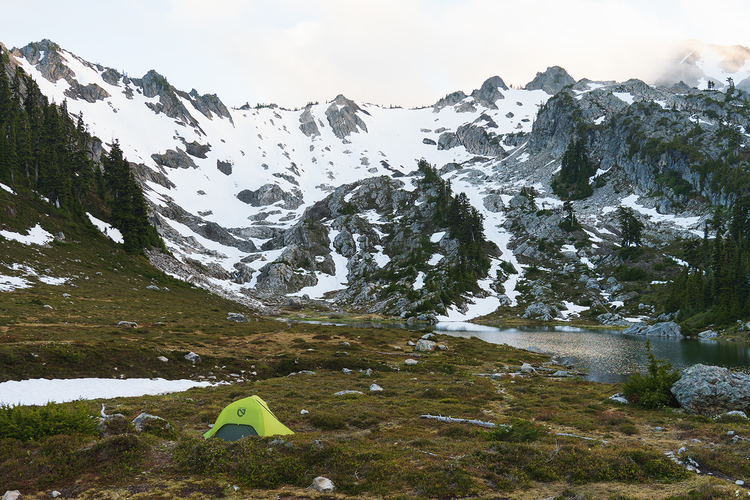
Camping at Lake of the Angels
There are a total of 4 designated campsites at Lake of the Angels, all really great sites that will each give a different view. I originally set up my campsite at camp #3 but found the mosquitoes to be very annoying so I eventually moved to camp #2 which was in an open area that had a better breeze and thus less bugs!
Where is the toilet at Lake of the Angels?
There are no pit toilets here so you’ll have to dig yourself an 8 inch cat hole at least 200 feet from any water source if you need to go to the bathroom.
Areas to Explore at the Lake
There are additional hikes from Lake of the Angels that offer better vantage points and plenty of wildflowers higher up. Mt. Skokomish and Mount Stone are two nearby peaks, though Mount Stone requires technical climbing. If you have to choose one, I recommend Mt. Skokomish. I attempted it, but the hardened snow from cooler night temperatures forced me to turn back as I didn’t have crampons. Later in the summer, with most of the snow gone, this hike should be much easier.
Of course you can hangout by the lake as well. This is what I mostly did. I even jumped in the very cold lake to wash off all the sweat from the hike up. I carried up my camp chair and put it to good use relaxing by the lake. The mosquitoes were out in full force. They typically emerge strong after the snow melts out! Keep this in mind if you plan to do the hike!
Are Dogs Allowed on the Trail?
The trail begins on National Forest land and transitions into National Park land towards the end. Technically, you could bring your dog for part of the hike. However, due to the technical rope and root climb section, I advise against it. You’d have to carry your dog through this challenging part, so it’s best to leave them at home for this hike.
Tips for Backpacking Lake of the Angels
- Understand that if you want to camp here overnight, you’ll have to call the Olympic National Park Wilderness Information Center to secure a permit.
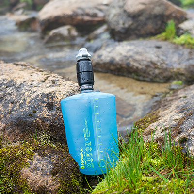
- During the summer, a lot of the water sources along the trail might become dry so be sure to top off your water at every stream you pass.
- The trail is steep and gains a ton of elevation over a short distance. There are a few sections that might scare some who are scared of heights.
- The rope and root section a lot of people talk about isn’t actually as bad as it seems.
- Mosquitos at the lake can be bad so carry a head net with you!
- Climb higher above the lake to get a better view!
Lake of the Angels is Well Worth the Hike Up
If you get the chance to do this hike, it’s well worth it, especially if you can stay overnight. The trail offers stunning views on the ascent, with wildflowers, vistas of Mount Rainier, and beautiful forests. At the lake, you’ll experience incredible alpine terrain with towering cliffs, an alpine lake, and vast meadows. This hike is at the top of my list for impressive hikes in Olympic National Park, and best of all, it’s still a hidden gem!