- Total Distance: 20.1 miles
- Elevation Gain: 5,784 ft
- Difficulty Level: Hard
- Passes Required: Northwest Forest Pass
- Camping Permits: Backcountry Permits Required
Lake Constance in Olympic National Park is one of the most rewarding hikes in the park, but it comes at the cost of being one of the most strenuous. With an incredible elevation gain of 5,784 feet over just 20 miles, few hikes can compare to its relentless ascent. That said, if you’re after truly impressive mountain scenery, it’s absolutely worth the effort. In this guide, I’ll share everything you need to know.
How to Secure an Overnight Permit for Lake Constance
Before you embark on this hike, you’ll need to secure a permit from Olympic National Park if you plan to stay overnight—which is probably the best option. Tackling this hike as a day trip is a serious challenge, so I recommend making it an overnight trip to fully enjoy the serene backcountry experience at the lake. Keep in mind that summer weekend permits can be harder to snag since Lake Constance is a fairly popular destination with limited camping spots. However, if you plan ahead and book your permits early in the season when reservations open, you shouldn’t have much trouble securing a weekend spot. The rush for permits here isn’t as competitive as it is for other areas in the Olympics, like the High Divide.
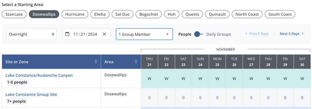
To book your permit, head to Recreation.gov and navigate to Olympic Backcountry Permits. Select Dosewallips as your starting point, then choose the dates you want to camp at Lake Constance.
Best Time to Hike Lake Constance and How to Check Trail Conditions
This hike is best done between late June and October. The area receives significant snowfall during the winter months, and snow can linger at higher elevations, including Lake Constance, which sits at 4,665 feet. If you’re unsure whether snow is still present, a good way to gauge conditions is by checking the webcam at Hurricane Ridge. Since it’s at a similar elevation, it can give you a rough idea of what to expect.
Getting to the Lake Constance Trailhead
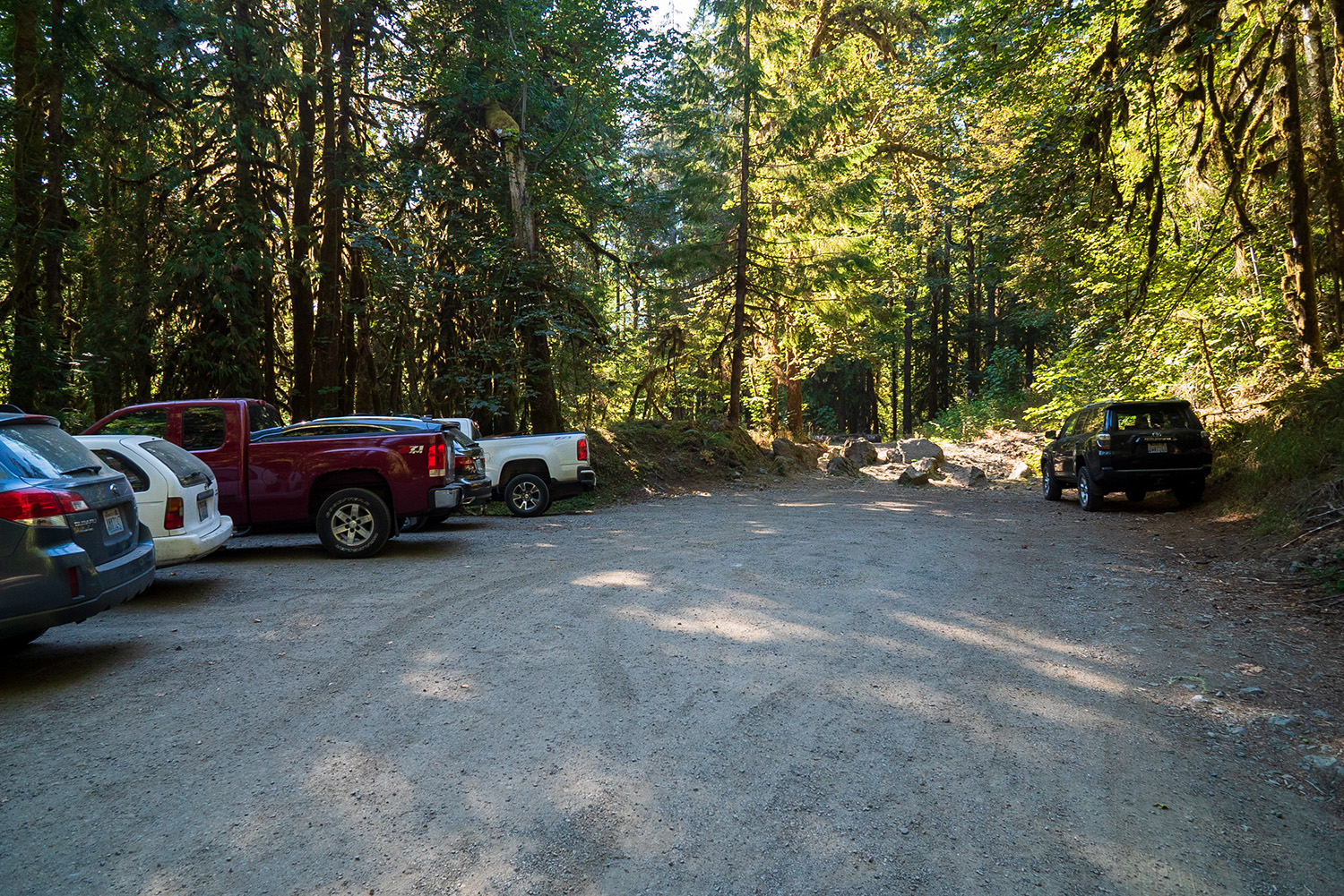
The trail to Lake Constance begins at the Dosewallips Trailhead, located near Brinnon, Washington, off Highway 101. The road to the trailhead transitions from paved to gravel, but it’s well-maintained and manageable for most vehicles. Due to a washout, the trailhead has been relocated farther back, so parking is now along the roadside. Be aware that there are no toilet facilities available.
The Hike to Lake Constance
The hike to Lake Constance can be divided into two distinct sections: the approach along the Dosewallips River and the steep ascent to Lake Constance itself. According to my GPS, the first section is roughly 6 miles, while the final stretch to the lake measures about 2.6 miles. It’s worth noting that the mileage listed on most websites tends to be a bit inaccurate, and the actual distances are longer than commonly stated. My total hike came to 20.1 miles, which included some additional distance from exploring up the canyon past Lake Constance. Let’s break down the trail in more detail.
Dosewallips Trail to Lake Constance Trail
The hike begins at the Dosewallips River Trailhead, where the wide, flat trail meanders alongside the river, making for an easy start. This section follows what used to be an old road before storms forced the trailhead to move back, adding a little more ground to cover. If you’re looking to save time, biking this part is highly recommended – you can actually bike the entire section up until the Lake Constance Trail intersection. The trail is smooth, and the peaceful river views make it a relaxing way to ease into the hike.
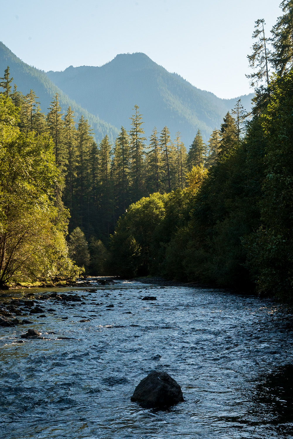
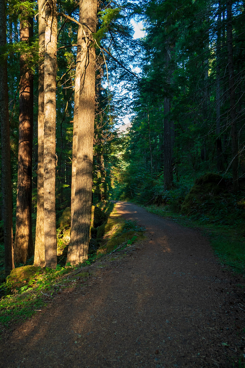
Around 3.5 miles in, you’ll come across the Elkhorn Dispersed Campground. If you started late or want to break up the hike, this is a fantastic place to pitch your tent for the night. The campground sits in a serene stretch of forest, along the Dosewallips. You don’t need a permit to camp here either which is a plus!
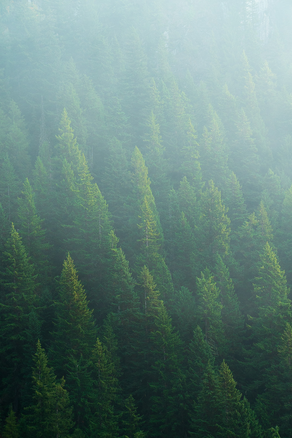
Past Elkhorn, the trail gradually gains elevation, winding through lush pine forests. The scent of evergreens fills the air, and you’ll catch glimpses of the river below. This stretch is scenic and relatively gentle, but you’ll start to notice the incline becoming more pronounced with about 1,000 feet of elevation gain to the trail intersection.
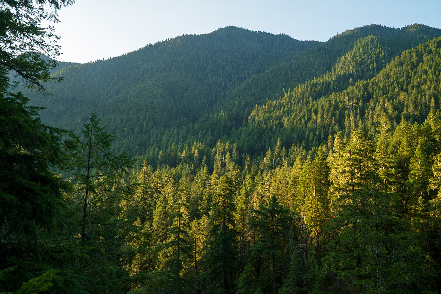
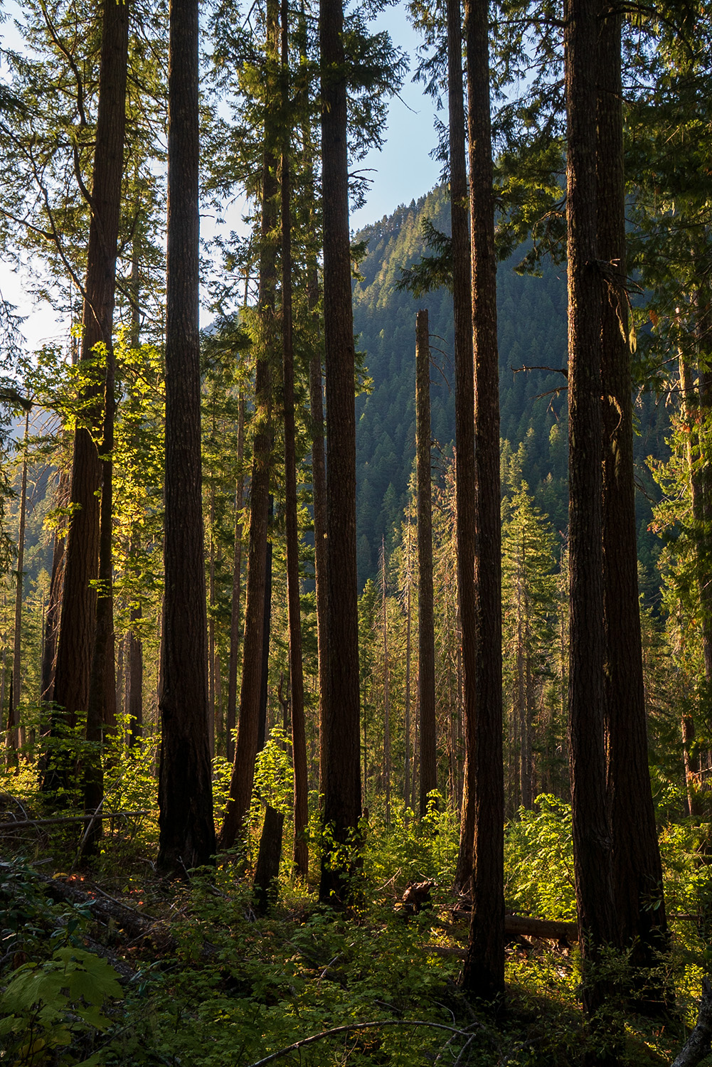
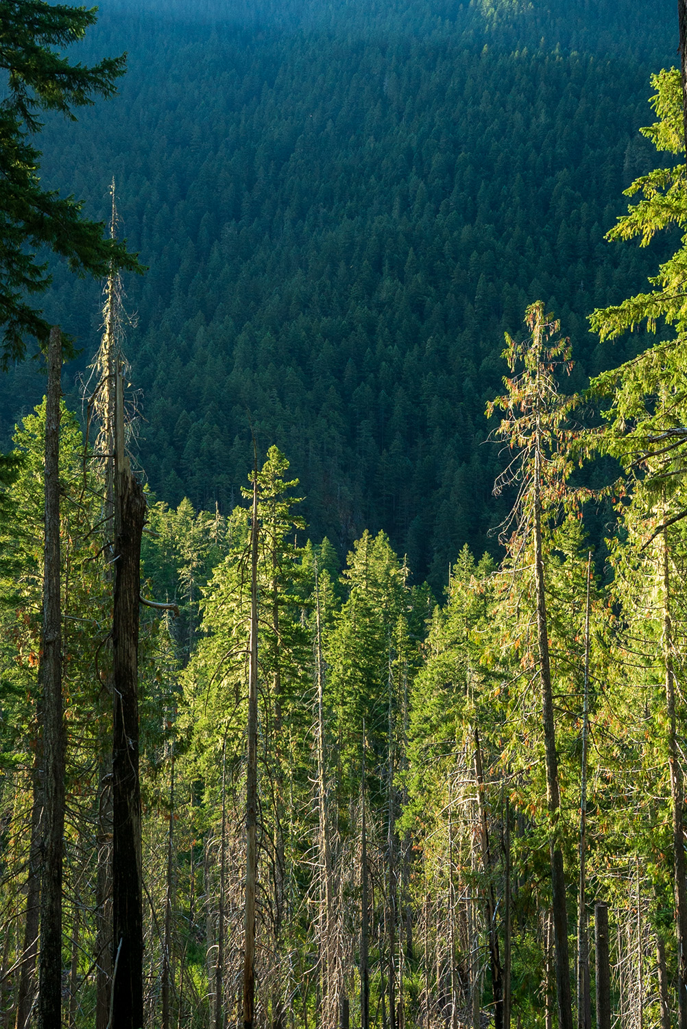
You’ll pass through an area that’s been burned by past wildfires. The scorched trees and open views create a striking contrast to the dense forest you’ve left behind.
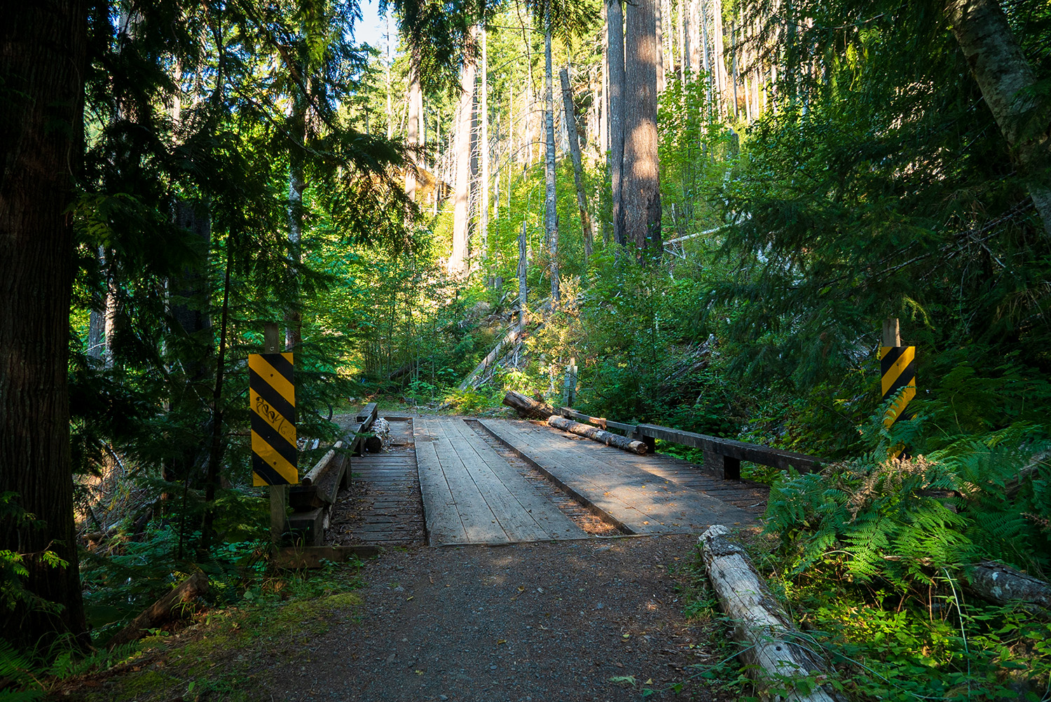
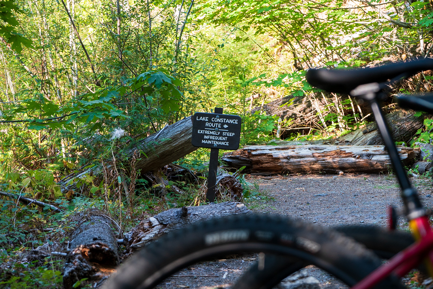
At around 6.4 miles, you’ll reach a bridge crossing Constance Creek. Just past the bridge, you’ll find the key intersection where the trail to Lake Constance splits off to the right. This is where the hike turns into a true challenge, with steeper climbs and rugged terrain ahead.
The Climb to Lake Constance
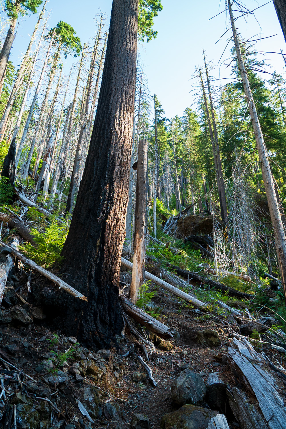
As you leave the Dosewallips River and begin the ascent, the trail plunges you into a striking burn area. This section of the trail is rarely maintained, adding to the rugged and challenging nature of the climb. The landscape here is raw, with charred trees standing among loose, rocky soil. Roots crisscross the steep terrain, making the climb demanding from the start. Despite the fire’s impact, many of the massive, hardy pines have survived, standing tall and alive, creating a surreal mix of destruction and resilience. Along the way, you’ll find yourself climbing over fallen logs and navigating large boulders as the trail zigzags upward, often feeling nearly vertical in sections.
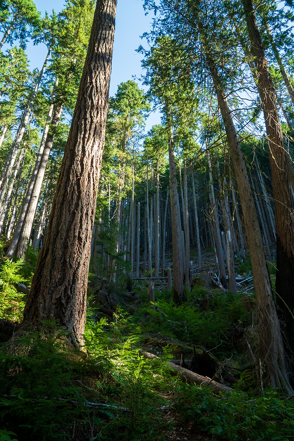
Eventually, the trail transitions out of the burn area and into a more typical forest. Here, you’ll come across Constance Creek, although depending on the season, it might be completely dry as it was during my hike. I imagine in the spring, it flows with some force.
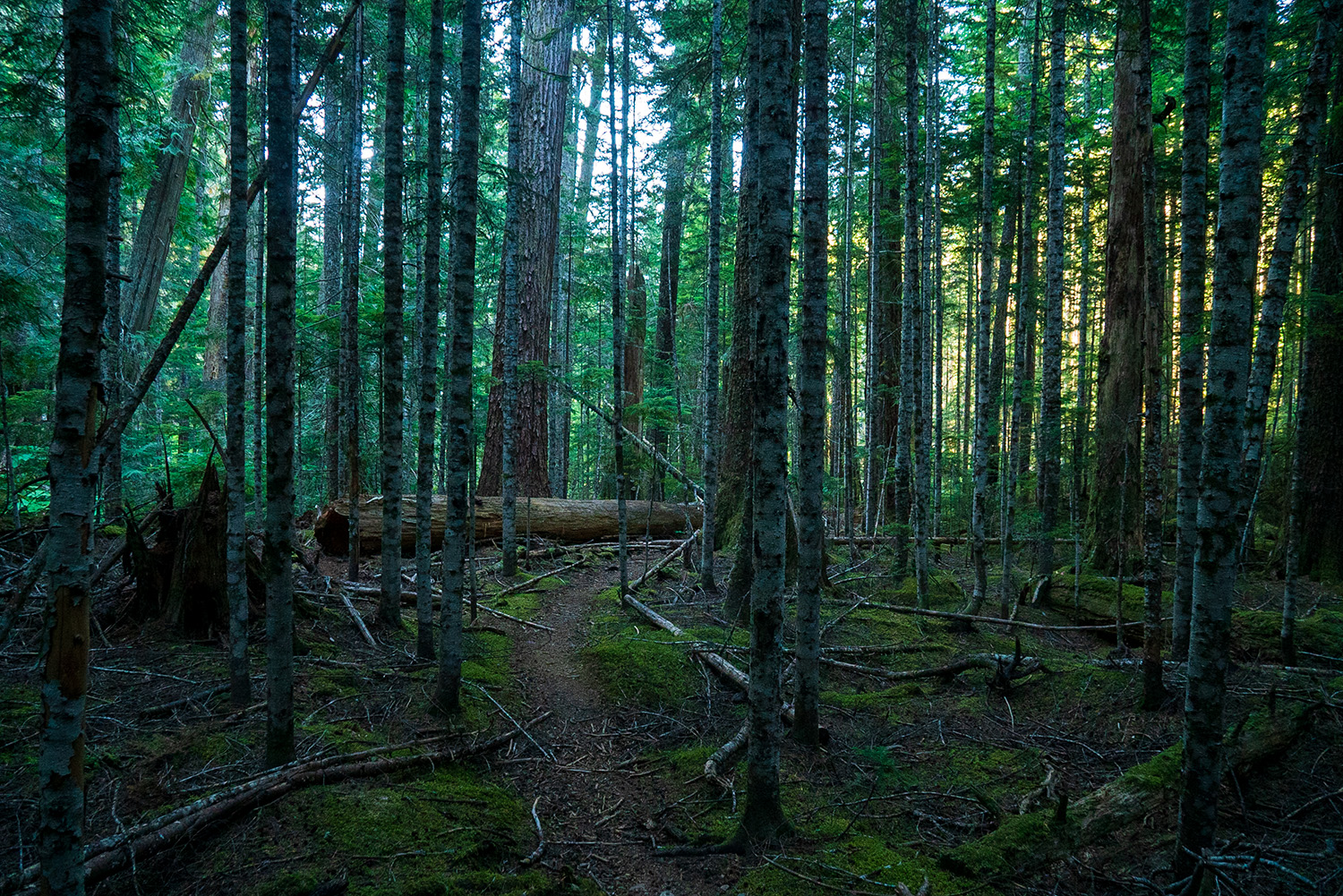
After another mile or so of steep switchbacks, the trail levels out briefly—a much-needed break from the relentless uphill grind. This flatter section is dense with thick pines and hemlocks, and the trail itself becomes faint, almost disappearing in places. You’ll need to carefully follow the subtle path through the towering trees. It’s peaceful, almost serene, but don’t let your guard down—the next climb is just ahead.
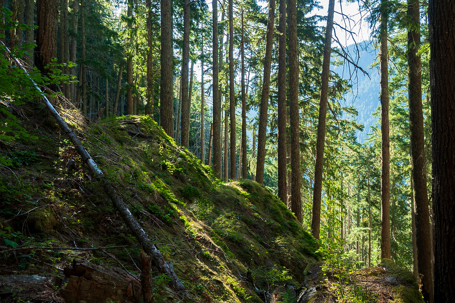
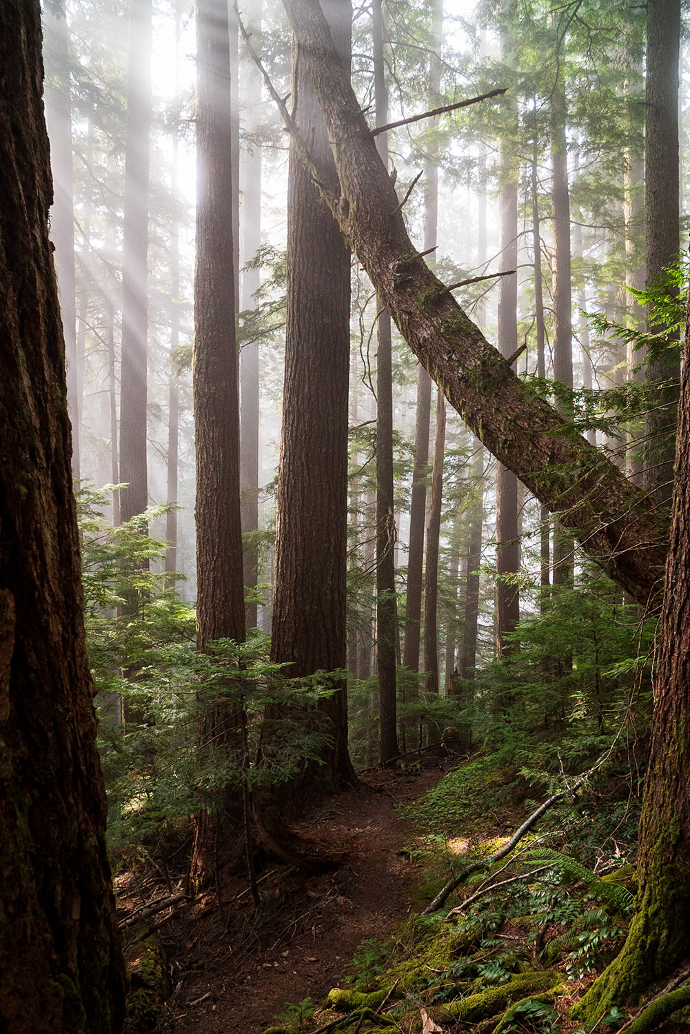
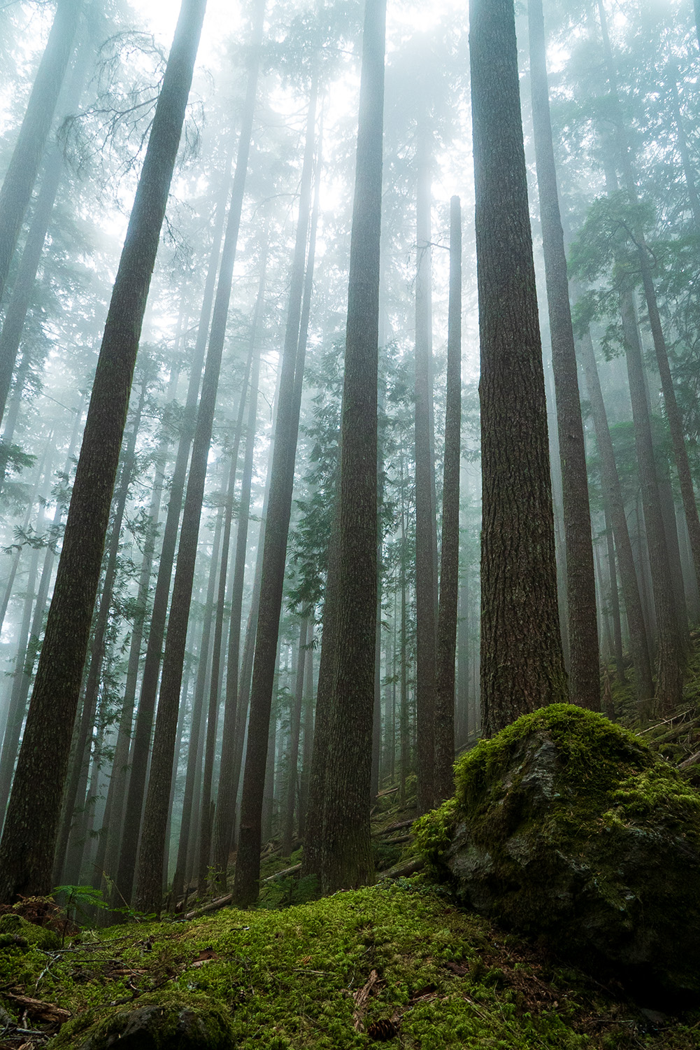
When the ascent begins again, the trail takes you through a lush, vibrant forest of evergreens and Douglas firs. This section is stunning, with massive, towering trees and soft, mossy ground. It’s challenging, just like the earlier climb, but the scenery here is absolutely breathtaking and gives you that little extra motivation to keep pushing forward.
As you near the top, the trail offers your first views across the valley. These glimpses of the surrounding mountains and forest are your sign that you’re close—but not quite there yet. The elevation gain continues, and the climb feels like it stretches on forever. At times, you’ll find yourself scrambling on hands and knees, gripping roots and rocks to haul yourself upward. It’s tough, and it feels longer than it should.
At the very top, you’re greeted by the sight of a waterfall cascading down the mountainside to your right. This marks the final stretch. With just a little more effort, you’ll crest the trail and arrive at Lake Constance.
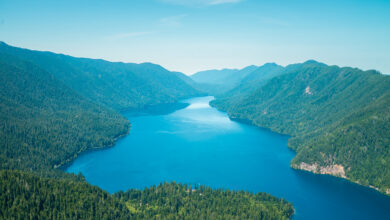
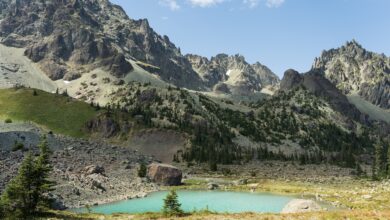
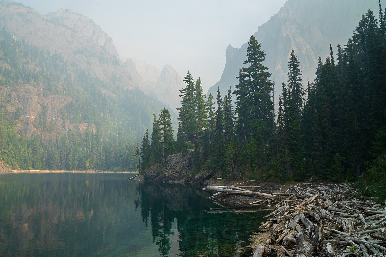
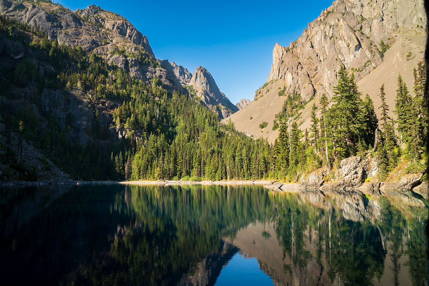
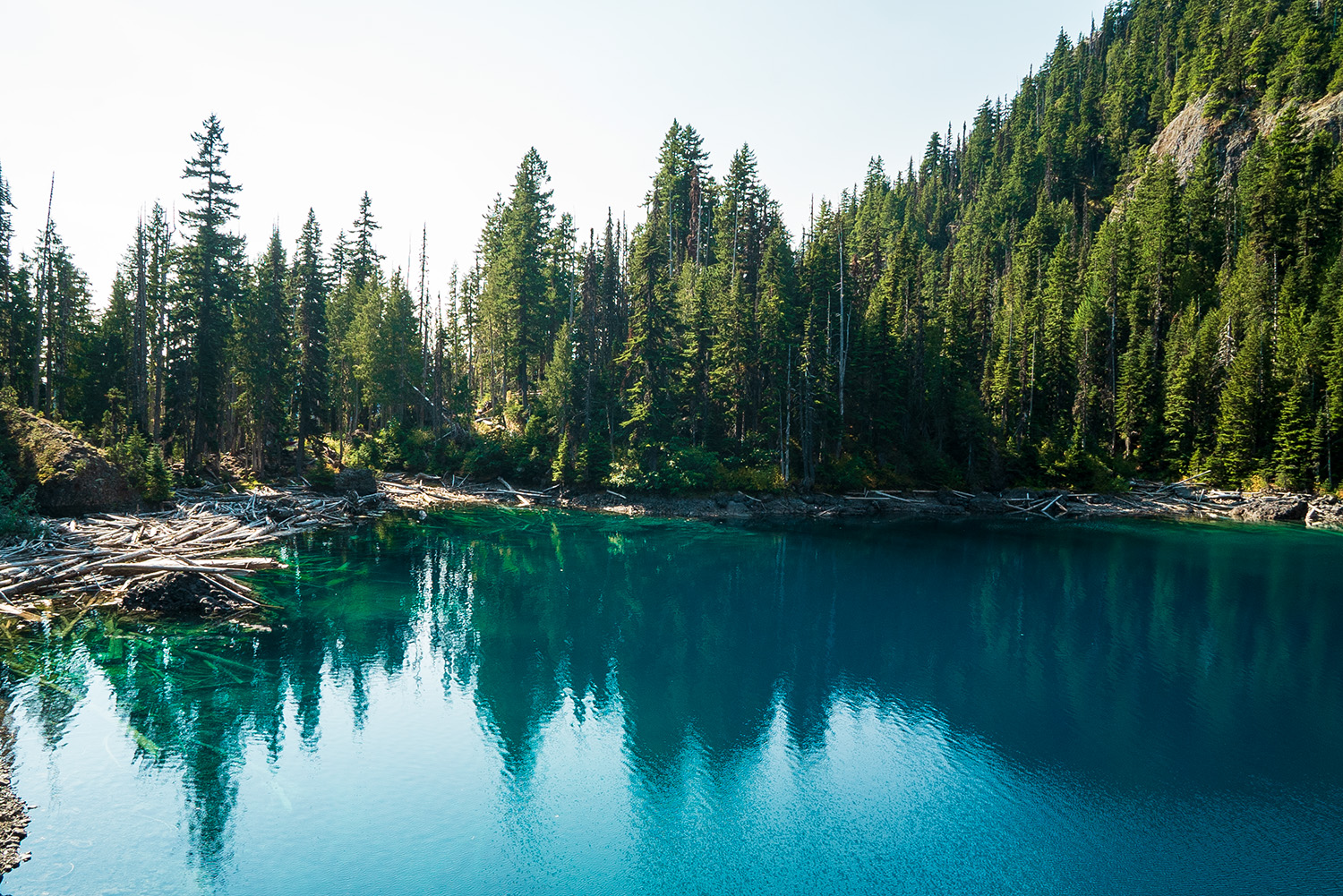
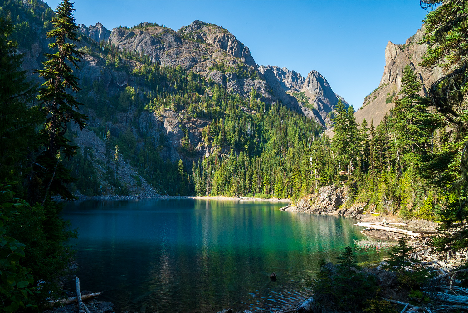
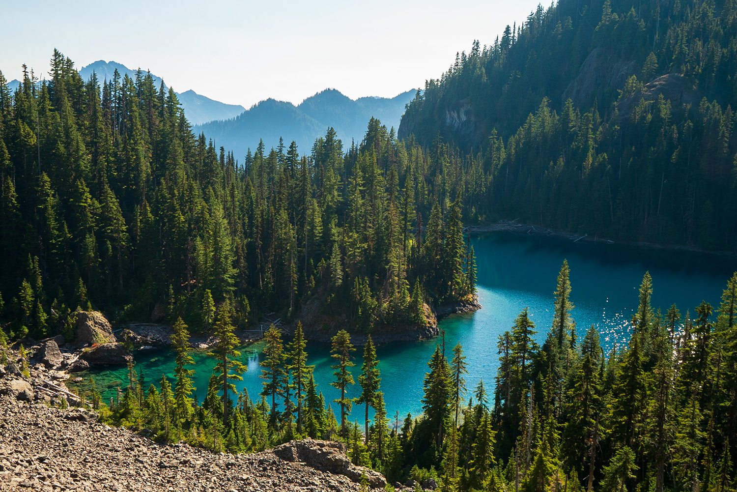
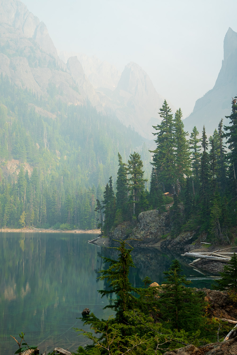
The lake is nothing short of spectacular. Its clear, turquoise waters are surrounded by steep granite cliffs and towering peaks. Behind the lake, a dramatic canyon rises toward Mount Constance, which dominates the scene. The views are simply incredible, a reward that makes every grueling step of the climb worthwhile.
Camping at Lake Constance
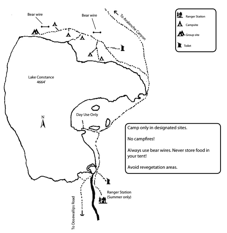
When you first arrive at Lake Constance, you’ll notice the ranger station to your right. Camping isn’t allowed in this initial section by the lake, so you’ll need to continue along the right side of the lake. As you make your way around, you’ll pass a small area designated for day use only—again, no camping here. Keep going all the way to the backside of the lake, and that’s where you’ll find the campsites.
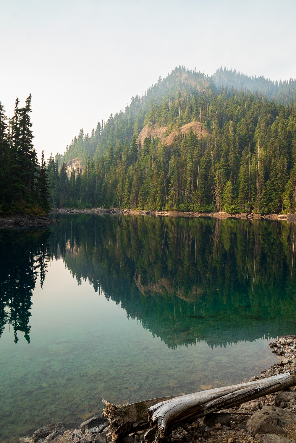
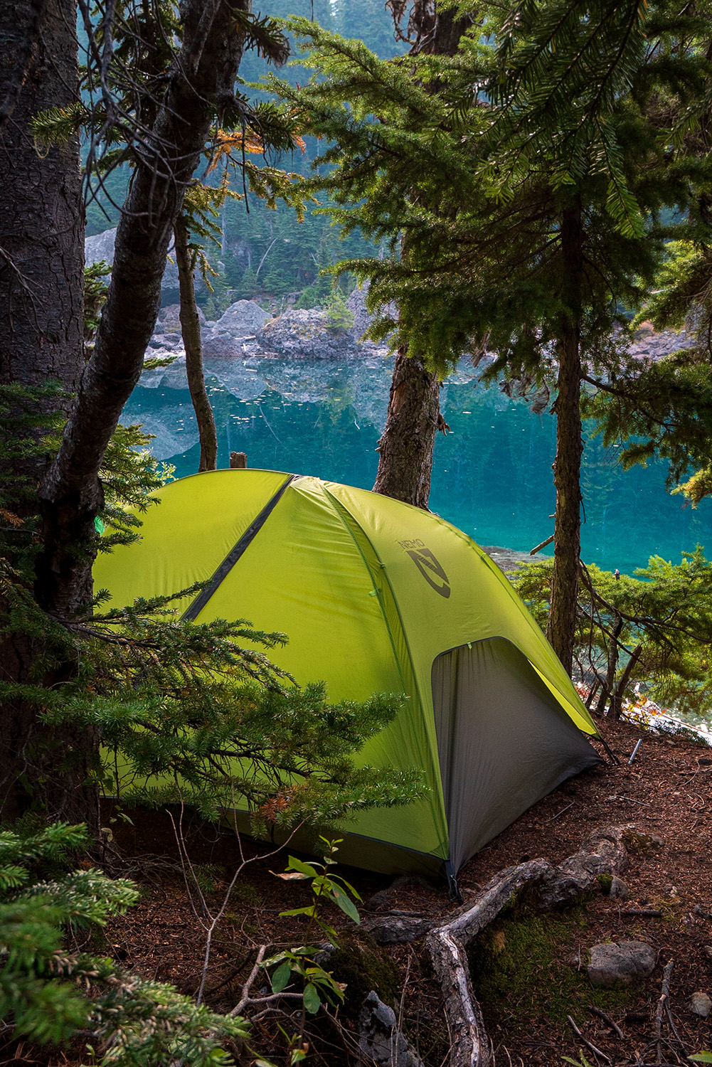
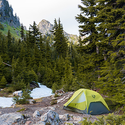
The backside of Lake Constance has a total of six campsites: five individual sites and one group site. These campsites are all really nice, but a few are located directly on the lake, offering incredible views. I was lucky enough to snag one of these lakeside spots, and it was absolutely stunning. If you’re hoping for amazing views and easy access to the water, try to scope out one of these prime sites when you arrive.
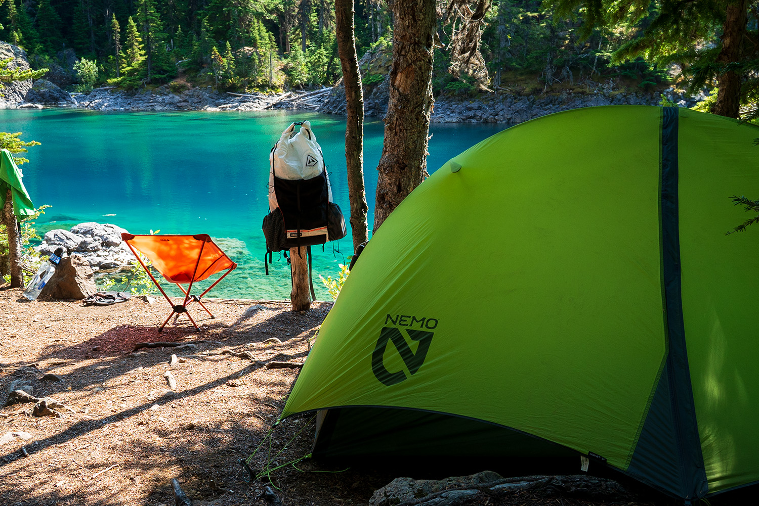
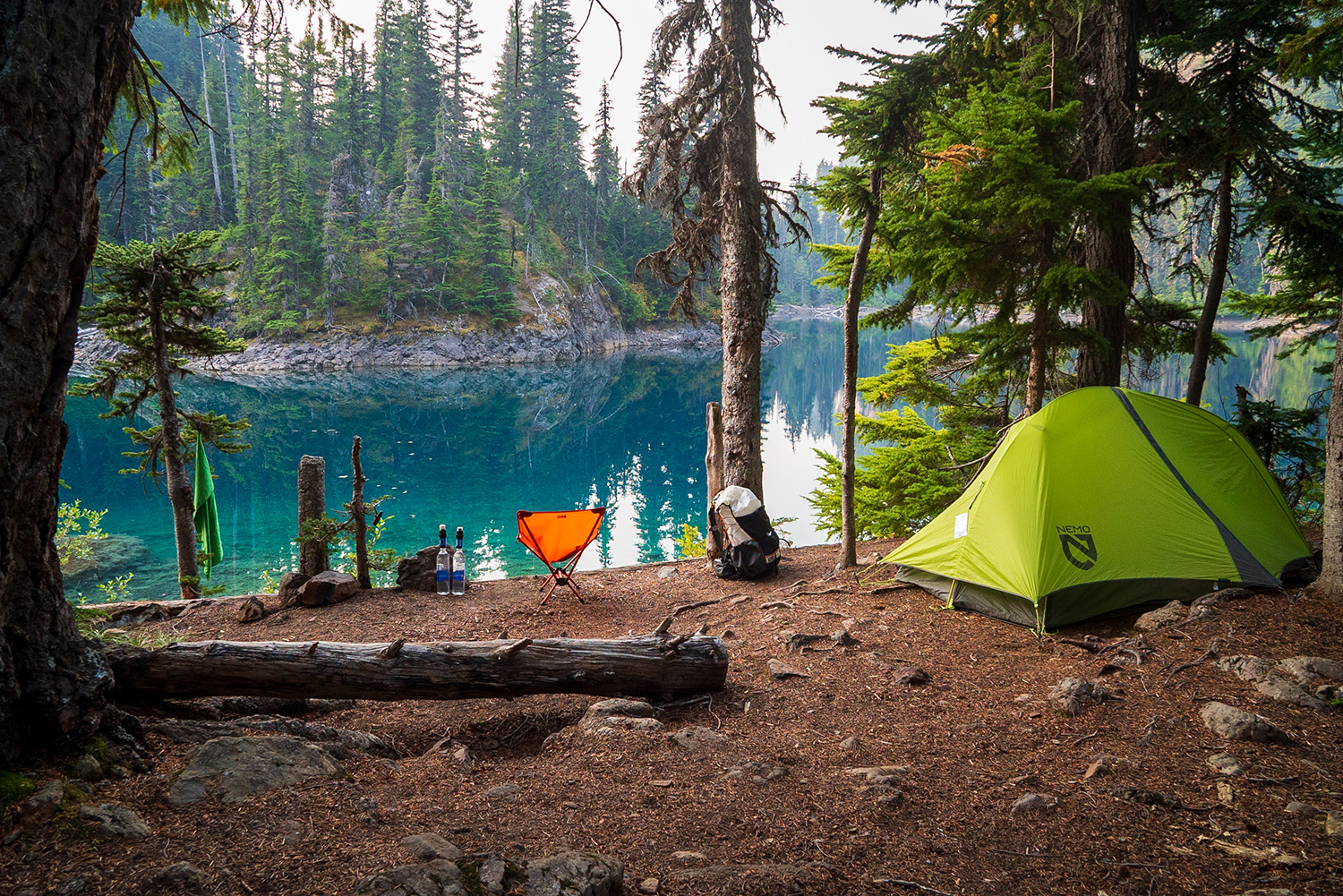
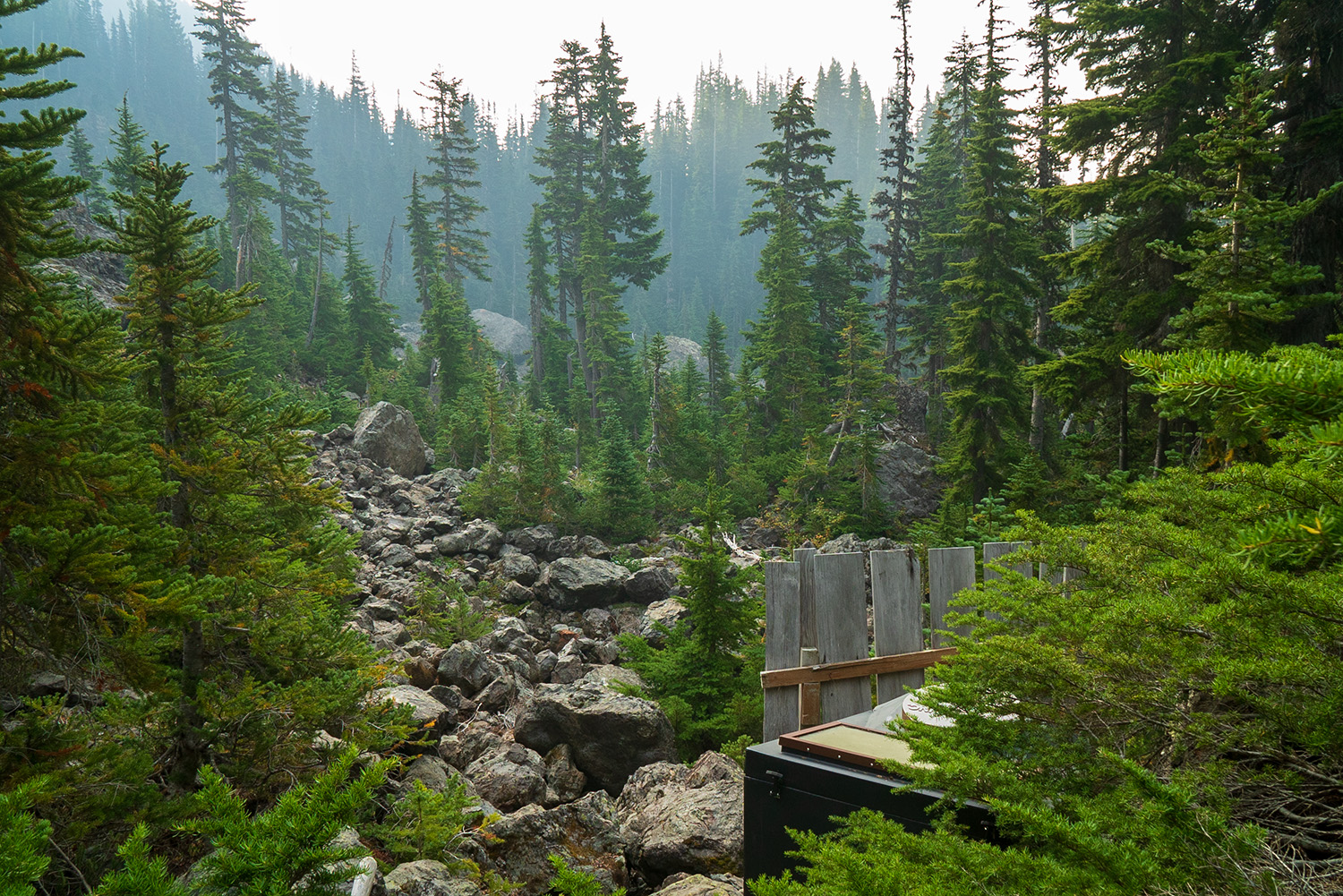
For convenience, there are two bear wires near the campground to safely store your food, which is a huge plus when camping in bear country. There’s also a solar-powered composting toilet nearby, and surprisingly, the views from the toilet are fantastic!
It’s important to note that all these campsites require a permit, which you’ll need to book through the Backcountry system on Recreation.gov. Make sure to secure your permit in advance, as this is the only way to stay at Lake Constance overnight.
Things to Do While Camping at Lake Constance
Lake Constance is the perfect place to kick back and enjoy the stunning surroundings. Relaxing by the lake is an obvious favorite, but there’s also some great trout fishing if you bring your gear.
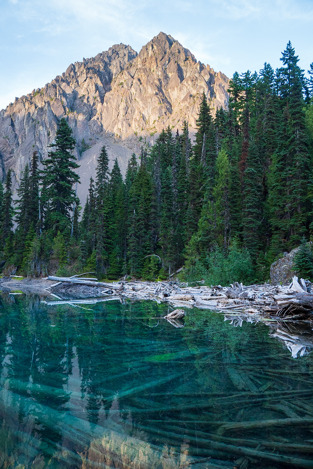
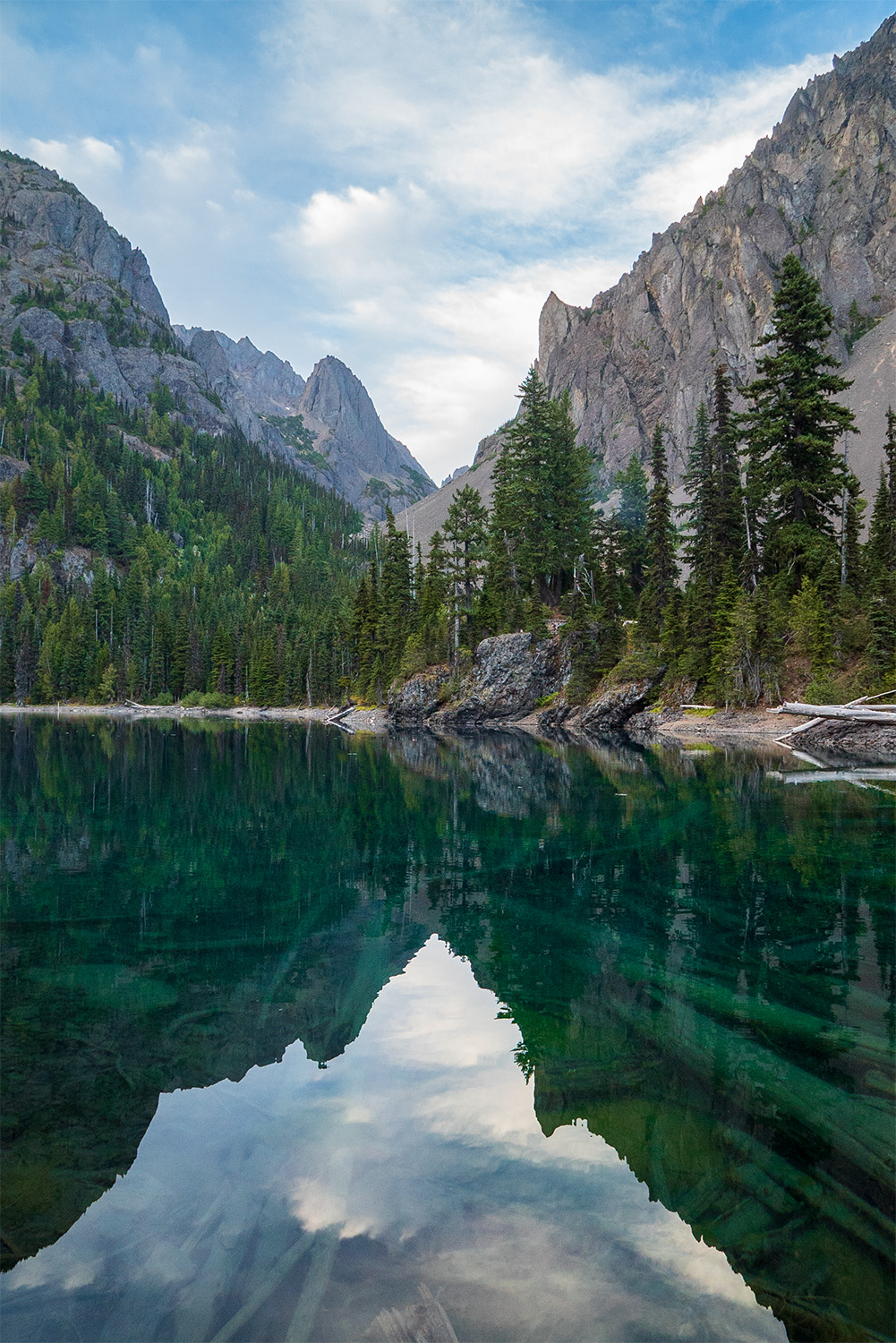
For those seeking more adventure, a popular activity is climbing Mount Constance, whose summit reaches an impressive 7,651 feet. Starting at Lake Constance’s 4,664-foot elevation, this climb packs a serious punch in elevation gain. The route begins at the backside of the lake, following the Avalanche Canyon trail. While summiting Mount Constance requires technical gear and mountaineering experience, you don’t have to tackle the entire ascent to enjoy the canyon.
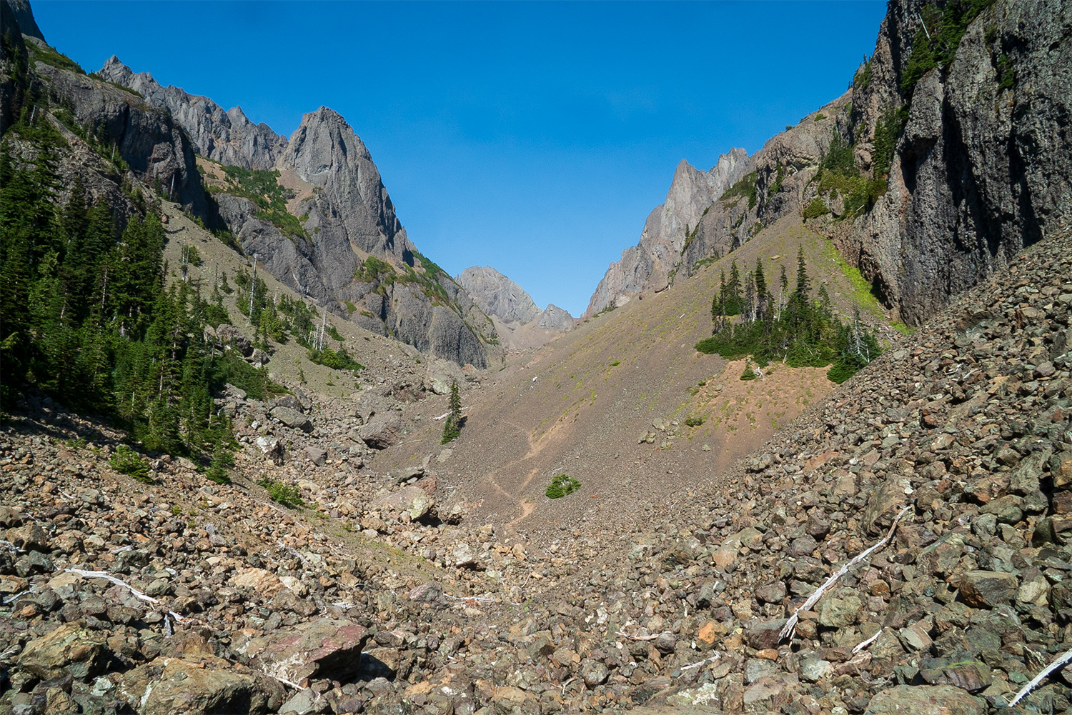
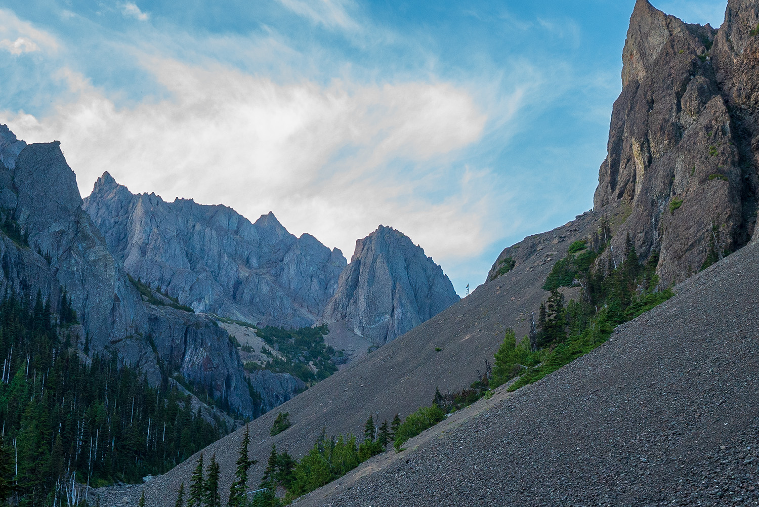
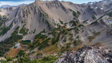
I explored part of Avalanche Canyon and found it absolutely breathtaking. The terrain feels like another planet, with no trees—just pure rock as far as the eye can see. The trail itself is rough, with loose rocks that shift underfoot, making for some sketchy moments. Even in mid-September, I encountered patches of snow scattered throughout the canyon, adding to the vibe.
If you venture into the canyon, you’ll also be treated to incredible views looking down toward Lake Constance. From this elevated vantage point, the lake shimmers below, framed by distant valleys and rugged peaks. The views in the canyon are impressive, even if you decide not to climb all the way to the summit.
Permit Free Camping at Elkhorn Dispersed Campground
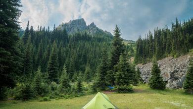
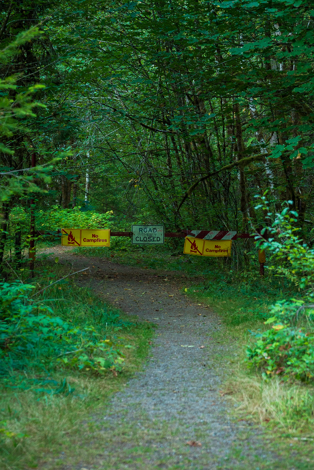
As I mentioned earlier, if you’re looking for a camping option before heading to Lake Constance—or even if you plan to day hike up to the lake—the Elkhorn Dispersed Campground is an excellent choice. Located 3.5 miles in from the trailhead, I chose to stay here on my first night to enjoy an extra evening in the wilderness and to get an early start the next morning. While on the main trail, you’ll come across a gate marked “Road Closed.” The campsites are located just beyond this gate. During the summer months, you’ll likely also see a “No Campfires” sign posted.
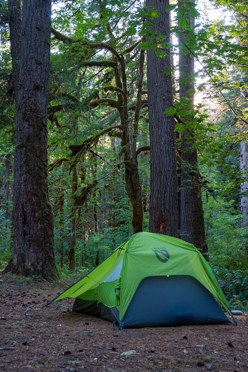
There are plenty of campsites available, so finding a spot to pitch your tent shouldn’t be an issue. However, there are no toilets, so be prepared to dig a cathole if needed. The Dosewallips River is conveniently nearby, providing an easy and reliable water source for your stay.
Cell Phone Coverage
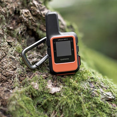
There is no reliable cell phone coverage on the trail, so don’t count on your phone to communicate or navigate. If you need a way to stay in touch or call for help, consider bringing a device like the Garmin inReach.
Subscribe to hikewithkurt.com
Get notified when I post new detailed hiking guides and join me on upcoming hikes.

Get notified when I post new detailed hiking guides and join me on upcoming hikes.
Are Dogs Allowed?
No, dogs are not allowed on this trail. Since it’s located within a National Park, pets are prohibited to help preserve the natural environment and protect wildlife.
Water Sources Along the Trail
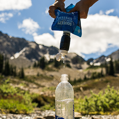
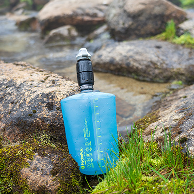
Along the valley section of the trail, there are plenty of water sources, so staying hydrated shouldn’t be an issue. However, once you start the climb from the Dosewallips Trail up to Lake Constance, water becomes much harder to find. In fact, I didn’t notice many, if any, water sources along this stretch. I highly recommend filling up at the creek you cross before starting the steep ascent.
Once you reach Lake Constance, you’ll have an excellent water source right at the lake itself, so no worries once you arrive.
Wrapping Up My Experience at Lake Constance
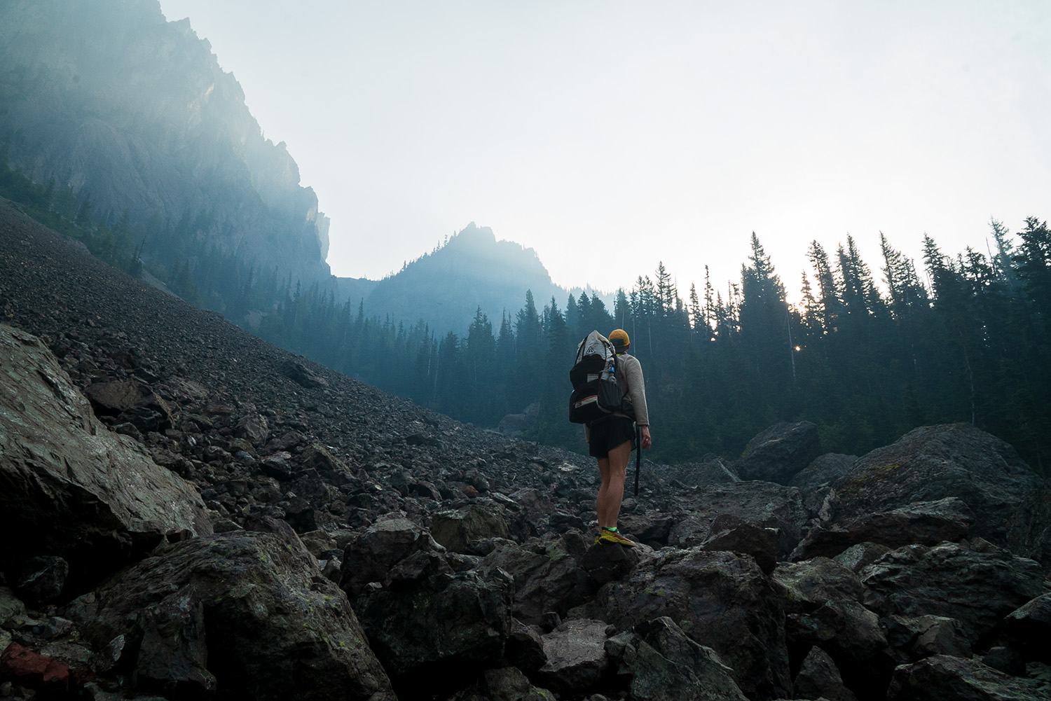
When I stayed at Lake Constance, there were nearby wildfires, and at night, ash rained down from the sky. It was surreal—at times a little hard to breathe, but visually, it felt like being on another planet. It’s a memory I won’t forget.
I’ve done a ton of hikes in Olympic National Park, and this one stands out as one of my favorites. It’s incredibly steep and tough—easily one of the harder hikes I’ve done. But the views at the top, the lake’s beauty, and the canyon’s breathtaking landscapes made it all worth it. If you’re up for a challenge, this hike is absolutely worth doing.

