- Total Distance: 11.8 miles
- Elevation Gain: 3,379 feet
- Difficulty Level: Very Hard
- Passes Required: National Park Pass
- Camping Permits: Backcountry Permits Required
This hiking trail in Olympic National Park offers incredible flexibility and variety, featuring alpine meadows, old-growth forests, beautiful lakes, and 360-degree panoramic views from rugged mountain peaks. The Badger Valley Trail connecting to the Grand Pass Trail, along with the traverse of Lillian Ridge, provides a diverse experience, allowing you to customize the hike based on your skill level or the challenge you’re looking for. Along the way, you’ll find excellent opportunities for backcountry camping, with permits available for the lakes along the trail. In this post, I’ll break down everything you need to know about this Olympic National Park hike—what to expect, how to tailor it to your needs, and how to avoid common mistakes.
Accessing the Trail: Obstruction Point and Seasonal Road Conditions
This trail is only accessible for part of the year. The trailhead is located at Obstruction Point, the highest elevation road in Olympic National Park at 6,150 feet. Obstruction Point Road typically opens in mid-July, at the discretion of the National Park Service, and closes by mid-October, depending on snow and weather conditions.
Before you travel, it’s worth calling Olympic National Park at 360-565-3131 to check the road status, or you can find the most up-to-date information online.
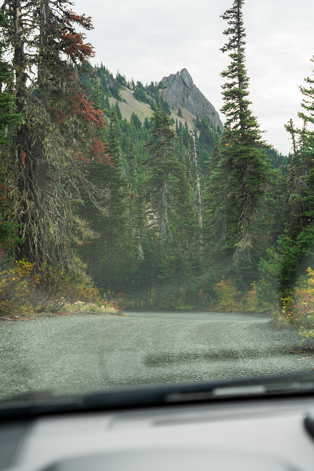
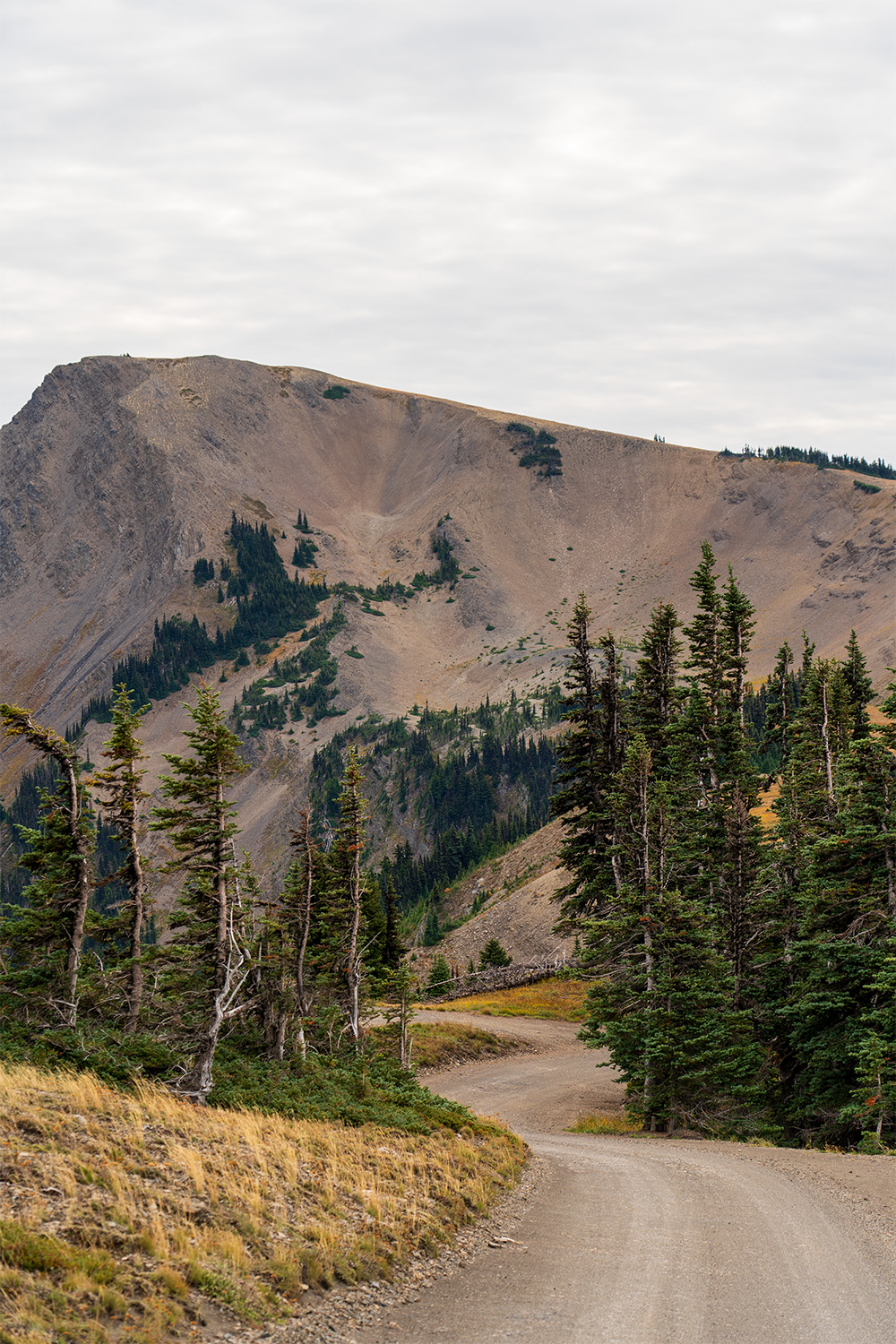
The road to Obstruction Point starts near the Hurricane Ridge Visitor Center and is 7.8 miles from Hurricane Ridge. This narrow, winding gravel road has steep sections, and while it’s one of the most scenic roads I’ve traveled, it’s worth noting that if you don’t deal well with heights, driving this road can be nerve-wracking with it’s often sheer drops.
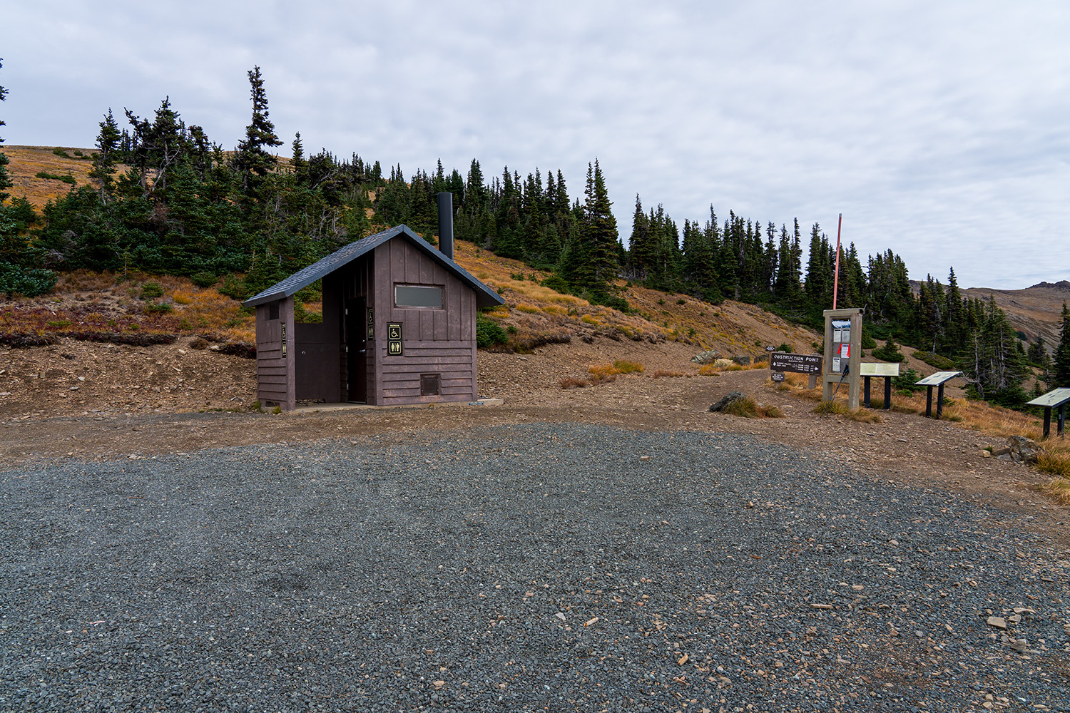
National Park Pass Required for Entry
To access this hike you’ll need to pass through the Olympic National Park Entrance Station along Hurricane Ridge Road which will require a National Park Pass.
Choose From Four Different Routes
The map below shows the possible routes you can take from the Obstruction Point Trailhead
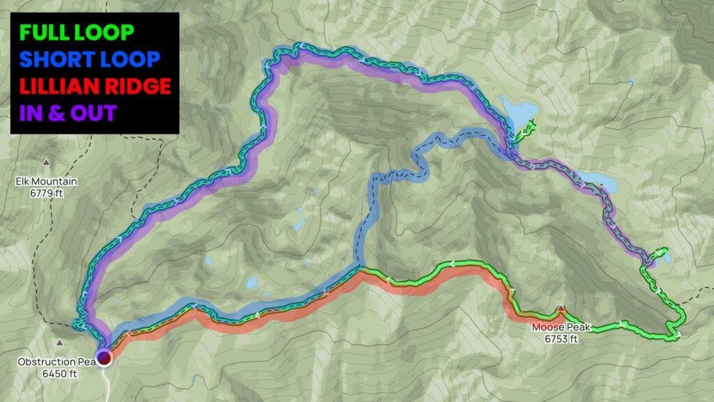
Full Loop Route
The full loop is an 11.8-mile hike with approximately 3,400 feet of elevation gain. This route involves descending through Badger Valley to connect with the Grand Pass Trail, followed by a climb up to Lillian Ridge to complete the loop.
- Pros: You get to experience everything the area has to offer, including alpine meadows, lakes, and panoramic ridge views.
- Cons: This is a challenging route with some rock scrambling required.
Short Loop Route
The short loop is an 8.6-mile route with around 2,600 feet of elevation gain. Like the full loop, it descends through Badger Valley to the Grand Valley Trail. However, from Grand Lake, it ascends back to the Obstruction Point Trailhead, cutting out part of the ridge traverse.
- Pros: You’ll still see the best highlights of the hike but with less distance and elevation gain.
- Cons: You’ll miss Moose Lake, Gladys Lake, and the epic views along Lillian Ridge.
Out & Back Route
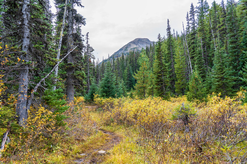
This option is a 12-mile round trip with 3,400 feet of elevation gain. You descend through Badger Valley to the Grand Valley Trail, passing Grand Lake, Moose Lake, and Gladys Lake before turning around and retracing your steps.
- Pros: You’ll get to enjoy all the lakes and valley views.
- Cons: You miss the ridge views that Lillian Ridge offers.
Lillian Ridge Route
This is a 7.8-mile route with 2,900 feet of elevation gain. It follows the ridge traverse for the entire hike, providing stunning panoramic views of the Olympic Mountains.
- Pros: Incredible views along the ridge, ideal for those who want a shorter hike with amazing vistas.
- Cons: You’ll miss the lakes and valley scenery below.
Badger Valley to Lillian Ridge Loop: A Detailed Trail Breakdown
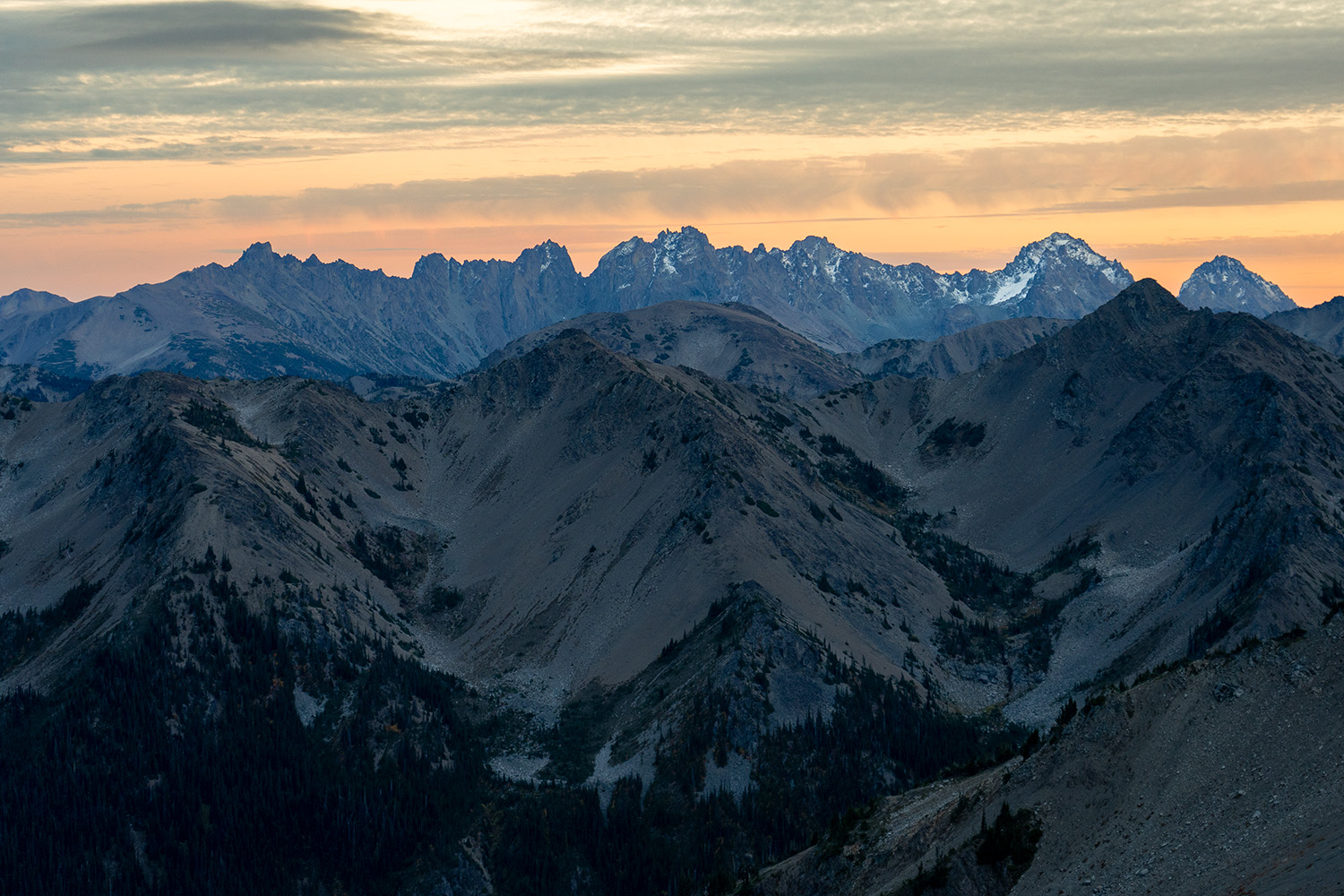
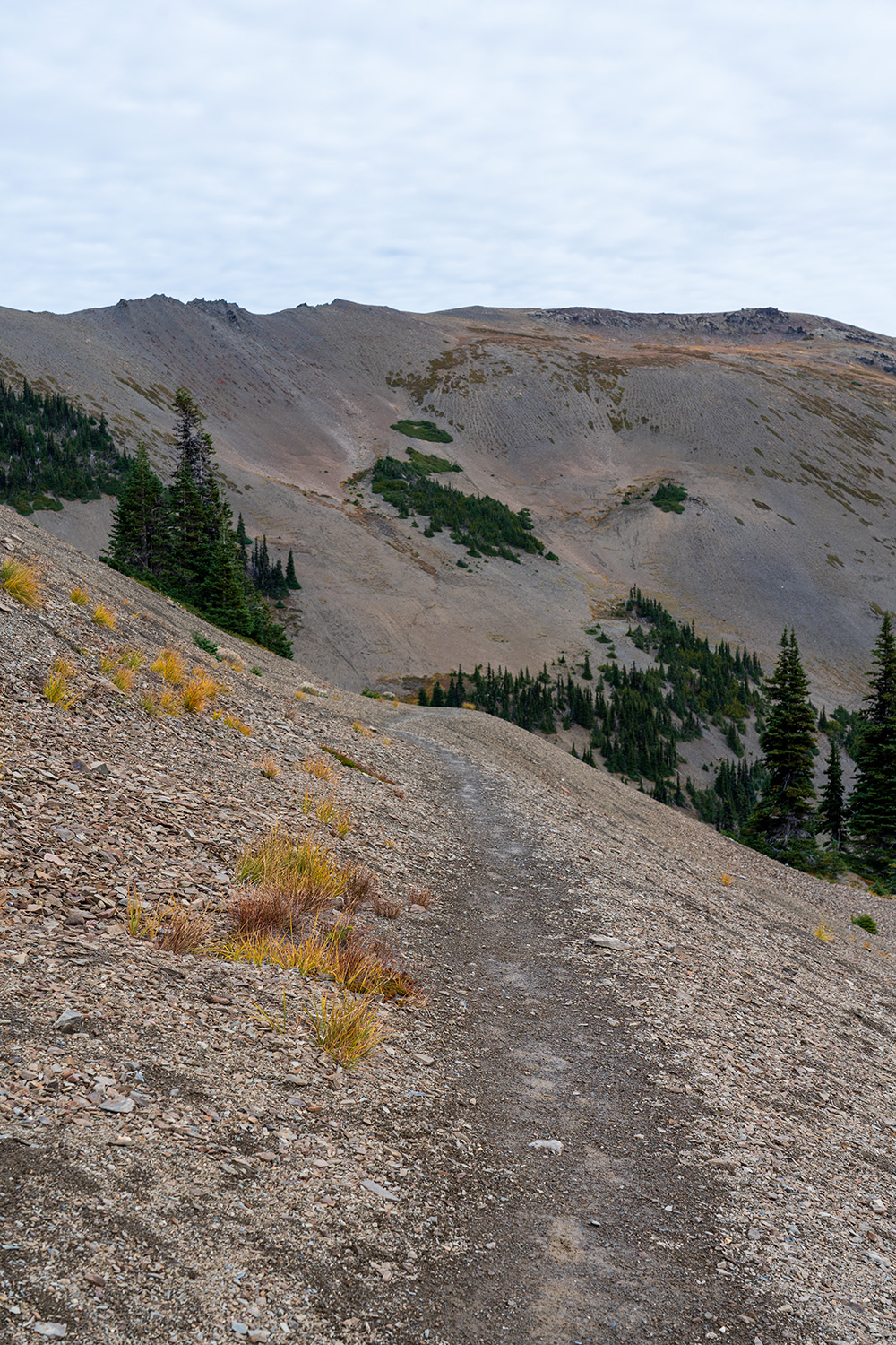
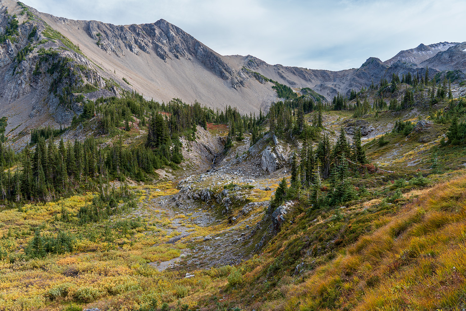
From Obstruction Point, the trail immediately begins its descent down into Badger Valley. To your right, you’ll see Obstruction Peak, and to your left is Elk Peak. The trail is loose gravel and can be a bit slick at times. There are very few trees here—a noticeable lack, actually—but patches of spruce begin to appear as you descend. Wildflowers are abundant but start to wither as October approaches. Expect them to be in full bloom in July when Obstruction Point re-opens for the season.
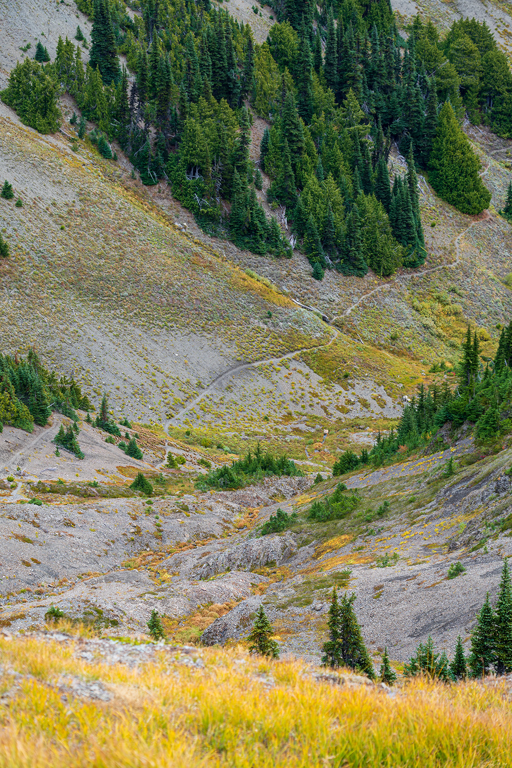
As you descend further into the valley, more pines begin to cluster together. The scent of cedar and decaying leaves fills the air—an overwhelming but pleasant smell.
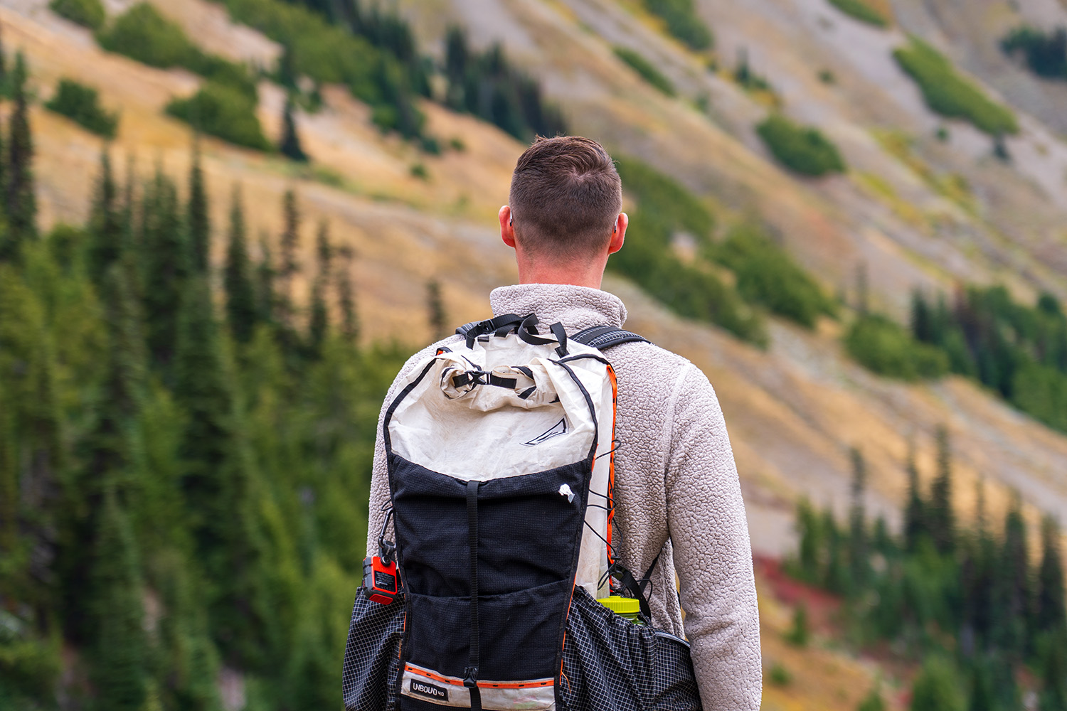
The trail gradually levels out, with a steady descent in elevation. The valley views are incredible, one of the things I really love about Olympic National Park. Tall grasses start to appear, and you’ll notice signs of marmot activity, marked by the many marmot holes scattered throughout.
After about 1 mile of hiking through alpine meadows and subalpine terrain, you’ll enter a more forested area. The elevation change here is gradual, with no dramatic drops as you continue along the trail.
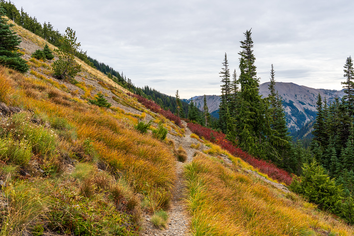
At 1.2 miles, you’ll encounter your first small stream crossing. The trail eventually intersects with the Deer Park Trail; stay to the right to continue down Badger Valley. Meadows with tall grasses and wildflowers are still abundant, and at 1.4 miles, you’ll cross another stream and begin following it on your right.
As the trail becomes more wooded with pines, it occasionally opens to short stretches of grassy meadows before returning to thicker forest. You’ll cross the stream again, this time following it on your left.
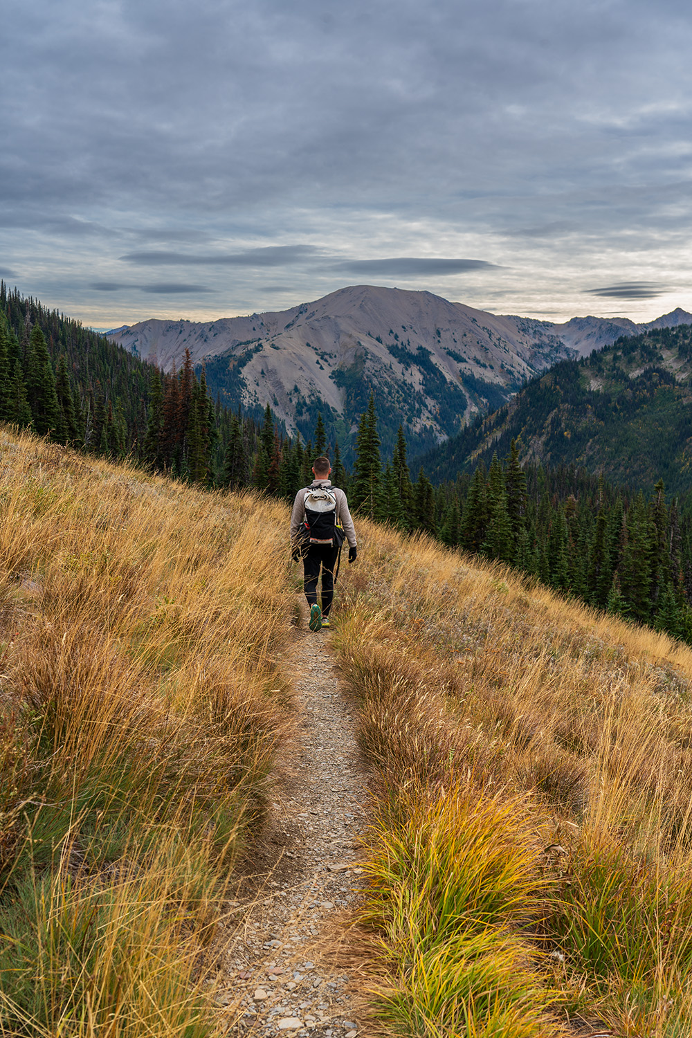
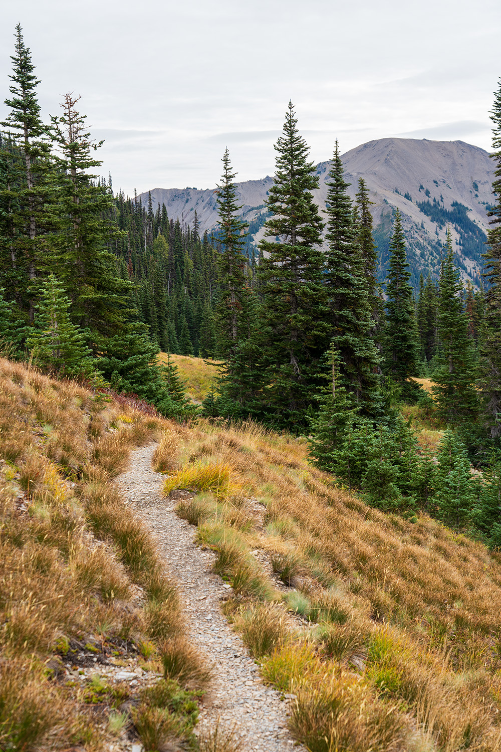
At 2.2 miles, you’ll face your largest stream crossing yet. Shortly after, you’ll come to a large meadow with wide, open views of the valley. After recent rain, this section can get quite muddy. The tall grass blows in the wind, now a golden yellow as autumn takes full hold.
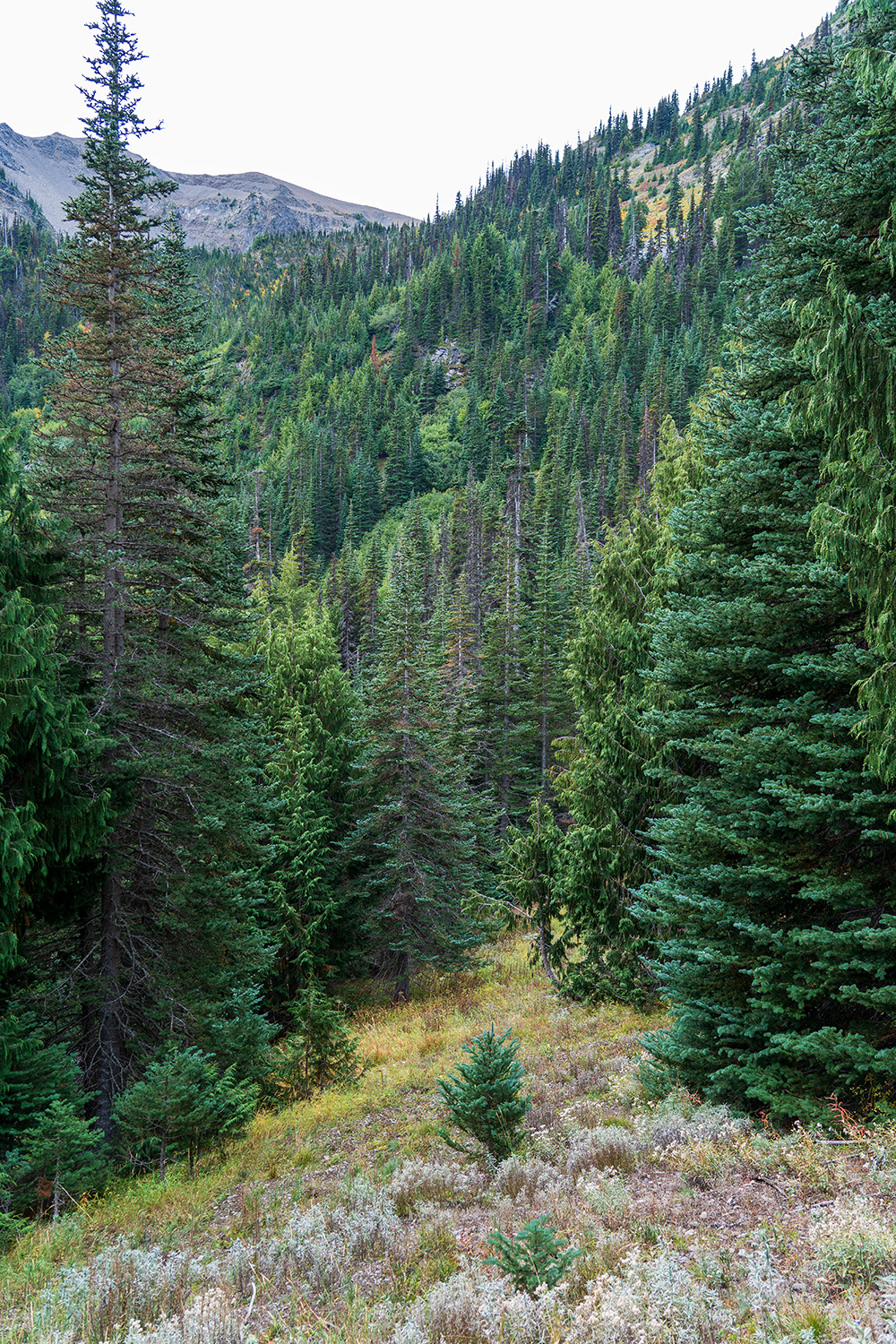
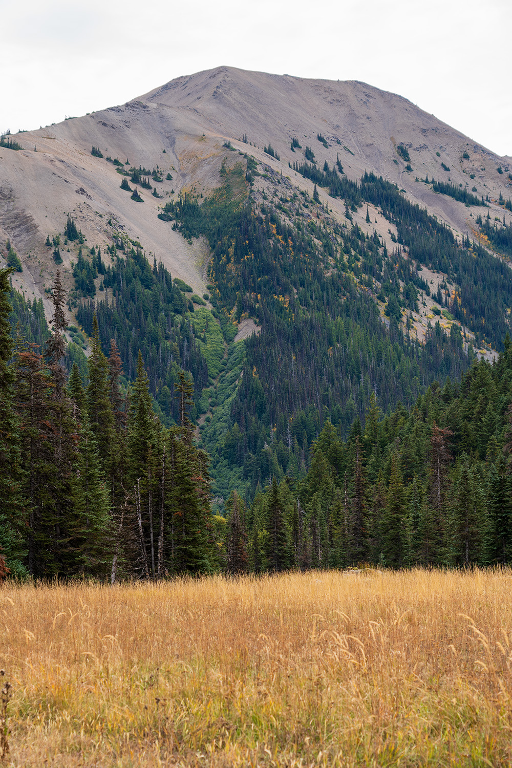
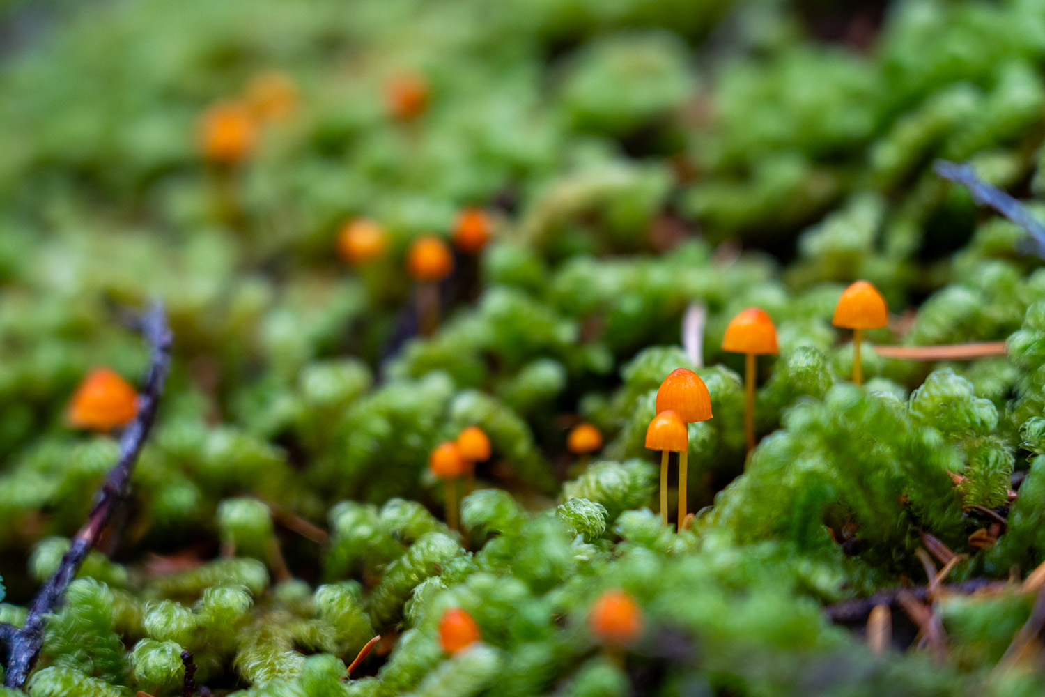
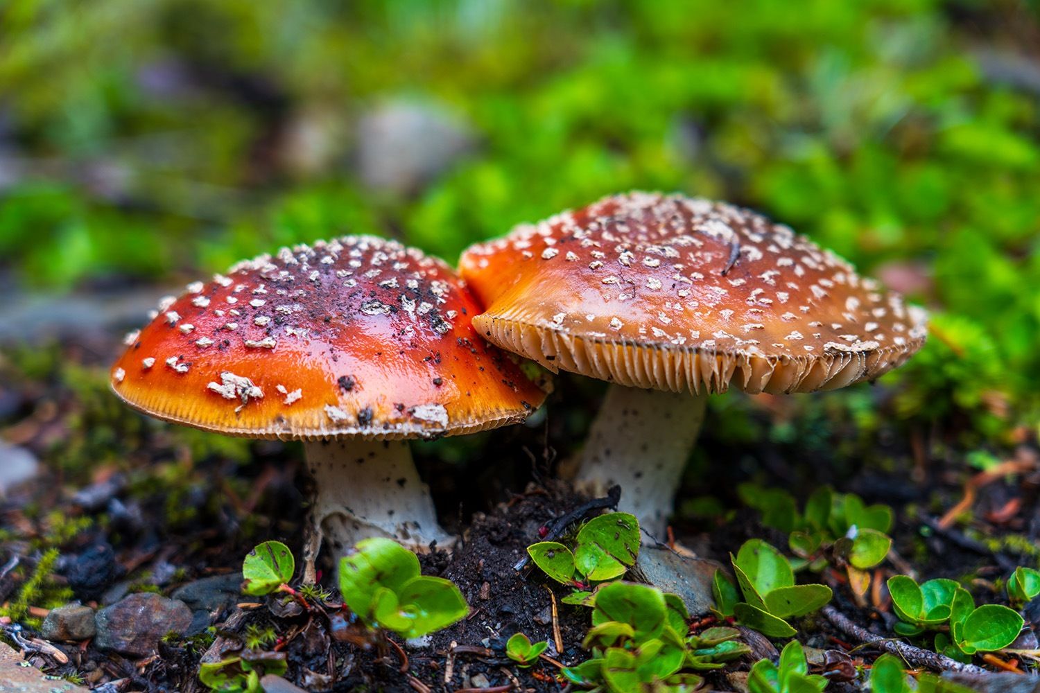
After leaving the meadow, the descent steepens as you drop further into the valley. Douglas firs begin to appear along the trail, especially near the final big elevation drop. Moss and mushrooms blanket the forest floor, and you’ll notice a shift to a damper, wetter environment as you reach the lowest elevation along the trail at around 4,000 feet. This section was a personal favorite of mine.
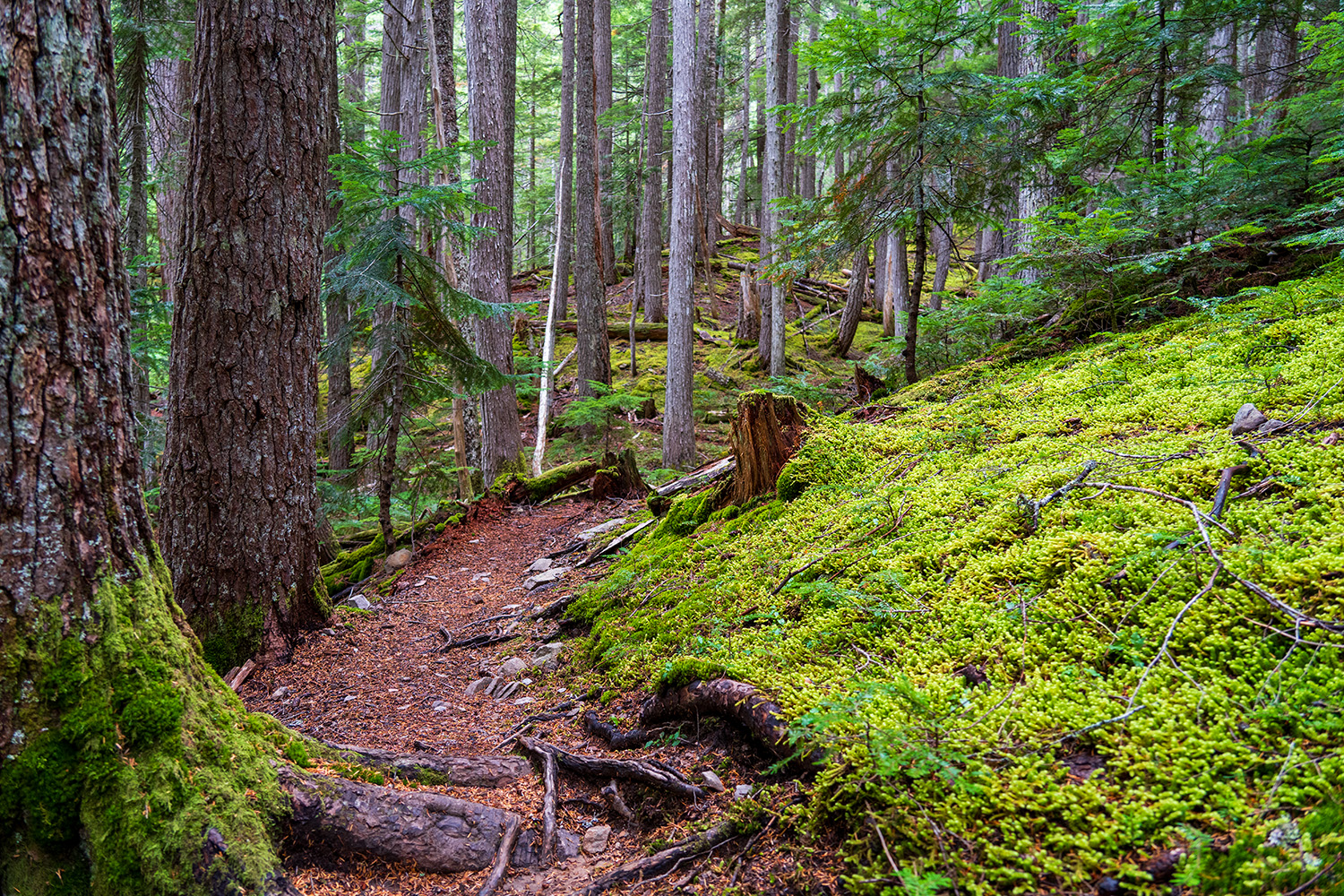
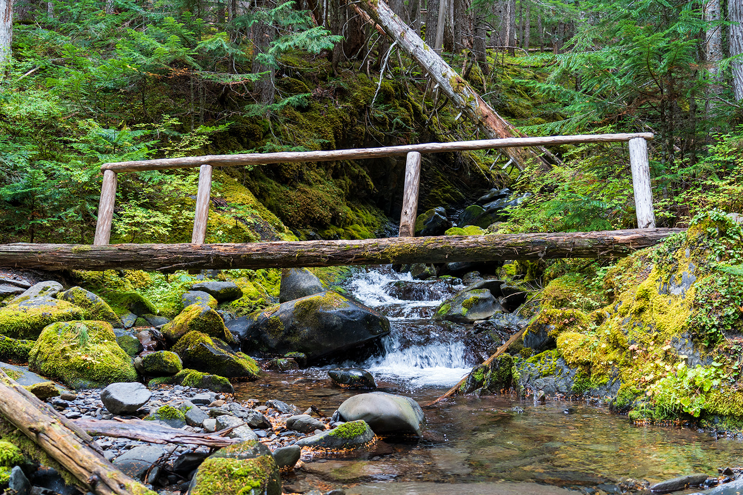
At 3.3 miles, you’ll cross a small bridge, marking the start of your elevation gain for most of the return trip to Obstruction Point. The forest remains vibrant with moss and large trees for a while, and mushrooms line the trail. At 3.8 miles, you’ll cross another major bridge and start to leave the realm of big Douglas firs, transitioning into smaller pines as you switchback higher toward the lakes.
The trail follows a stream as you ascend toward the lakes—not directly alongside it, but close enough to hear it at times. There’s one point where you can even hear the distant cascade of a waterfall. Blueberry bushes and alders, starting to turn yellow, line the trail, and soon, you’ll catch glimpses of Grand Lake through the trees. The pines rise dramatically up the mountainside, eventually giving way to a barren summit.
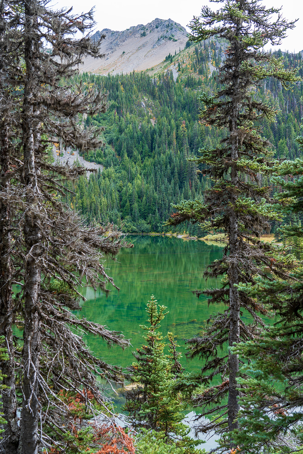
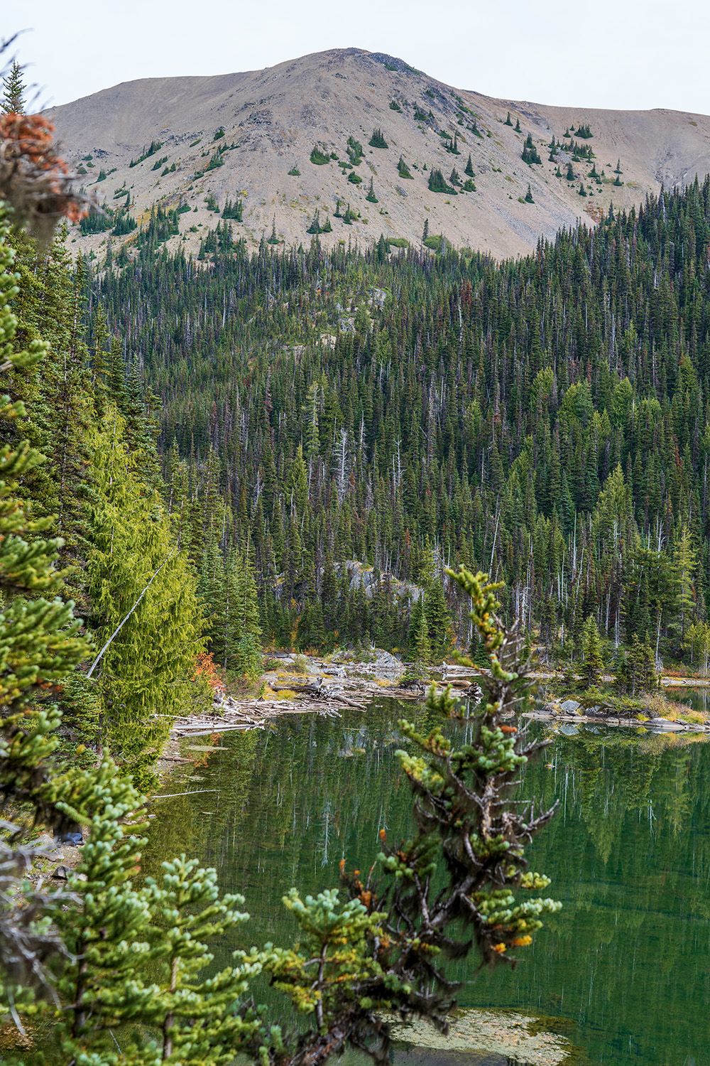
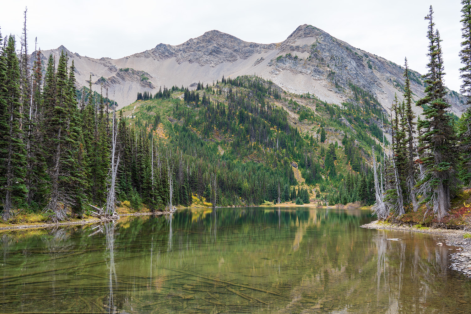
Grand Lake is an excellent spot to stop for lunch, with good campsites available. The lake is fairly shallow, so it’s not ideal for swimming. If you’re looking for a good swimming spot, continue further toward Moose Lake.
From Grand Lake, you’ll head up a few long switchbacks through a grassy meadow, which overlooks the lake and offers fantastic views. Some well-constructed rock stairs lead through this meadow. From here, you can choose to head back toward Obstruction Point via Lillian Ridge or continue on to Moose and Gladys Lakes. Your choice will depend on how much daylight you have left or whether you’re looking to add more mileage to your hike.
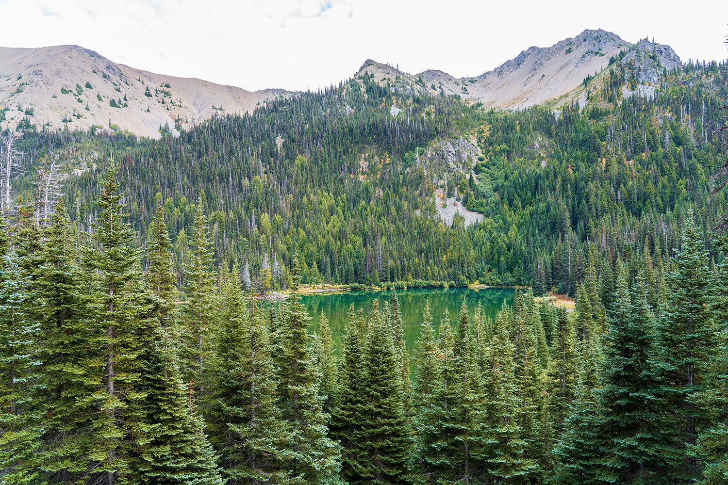
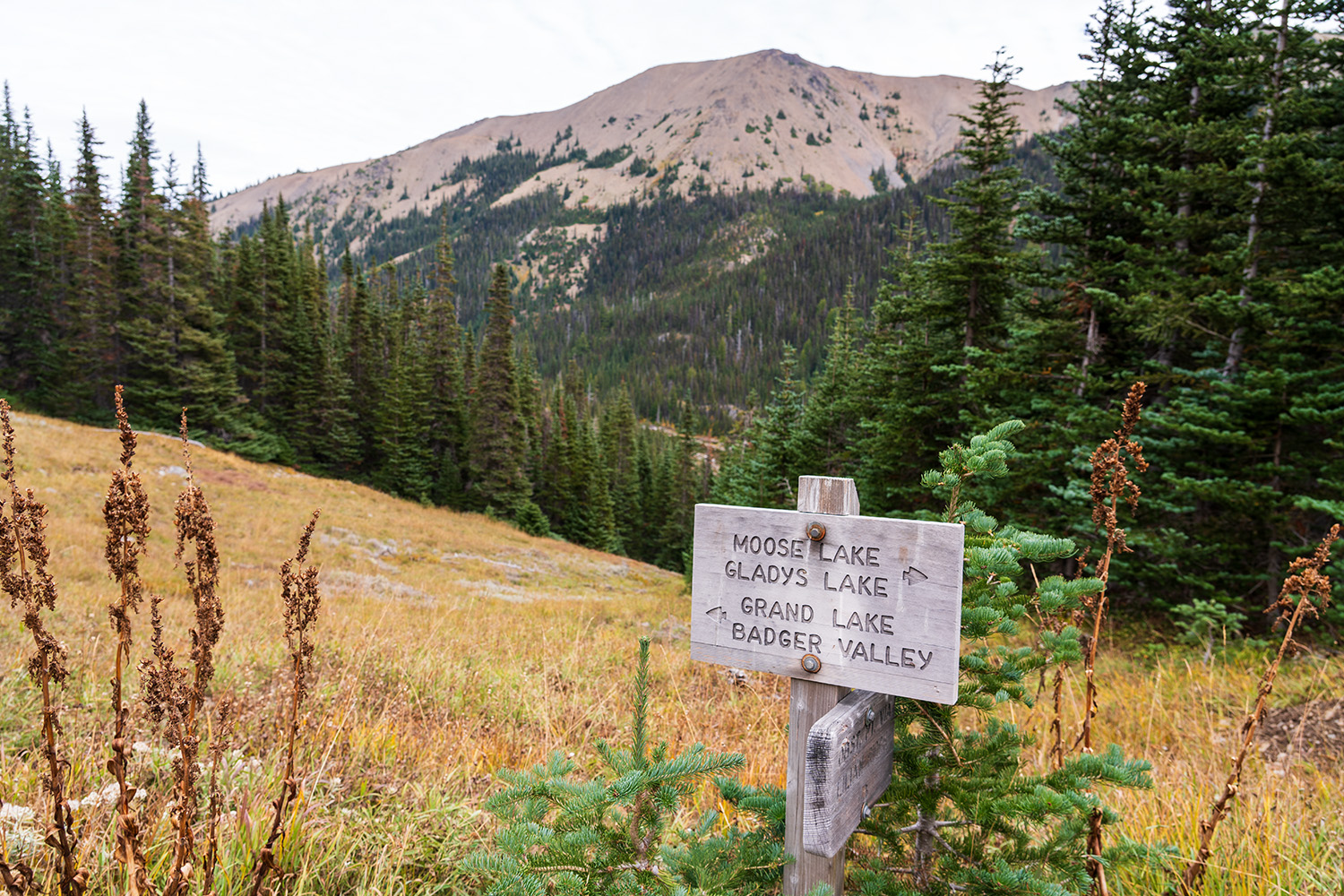
Moose Lake is just a short 15-minute hike from Grand Lake, winding through beautiful meadows with stunning mountain views to your left. Campsites with amazing views start appearing as you approach Moose Lake. If I were to choose one of the three lakes to camp at, it would definitely be Moose Lake.
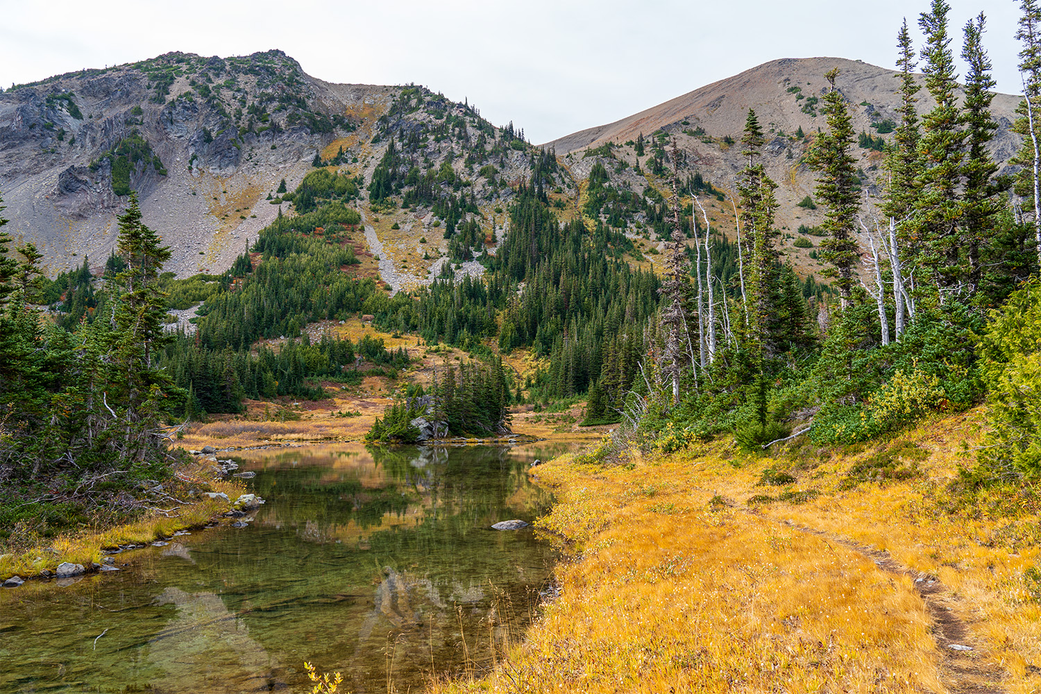
Another 15 minutes up the trail, you’ll reach Gladys Lake, which is more of a shallow pond, but it still has great campsites with impressive views of the basin. Beyond Gladys Lake, the trail heads up toward Grand Pass, becoming narrower and more faint—a sign that not much traffic comes through here. Multiple streams cascade down from the basin, and the views are reminiscent of the Royal Basin hike, another fantastic basin trail. In the summer, the wildflowers here would be incredible!
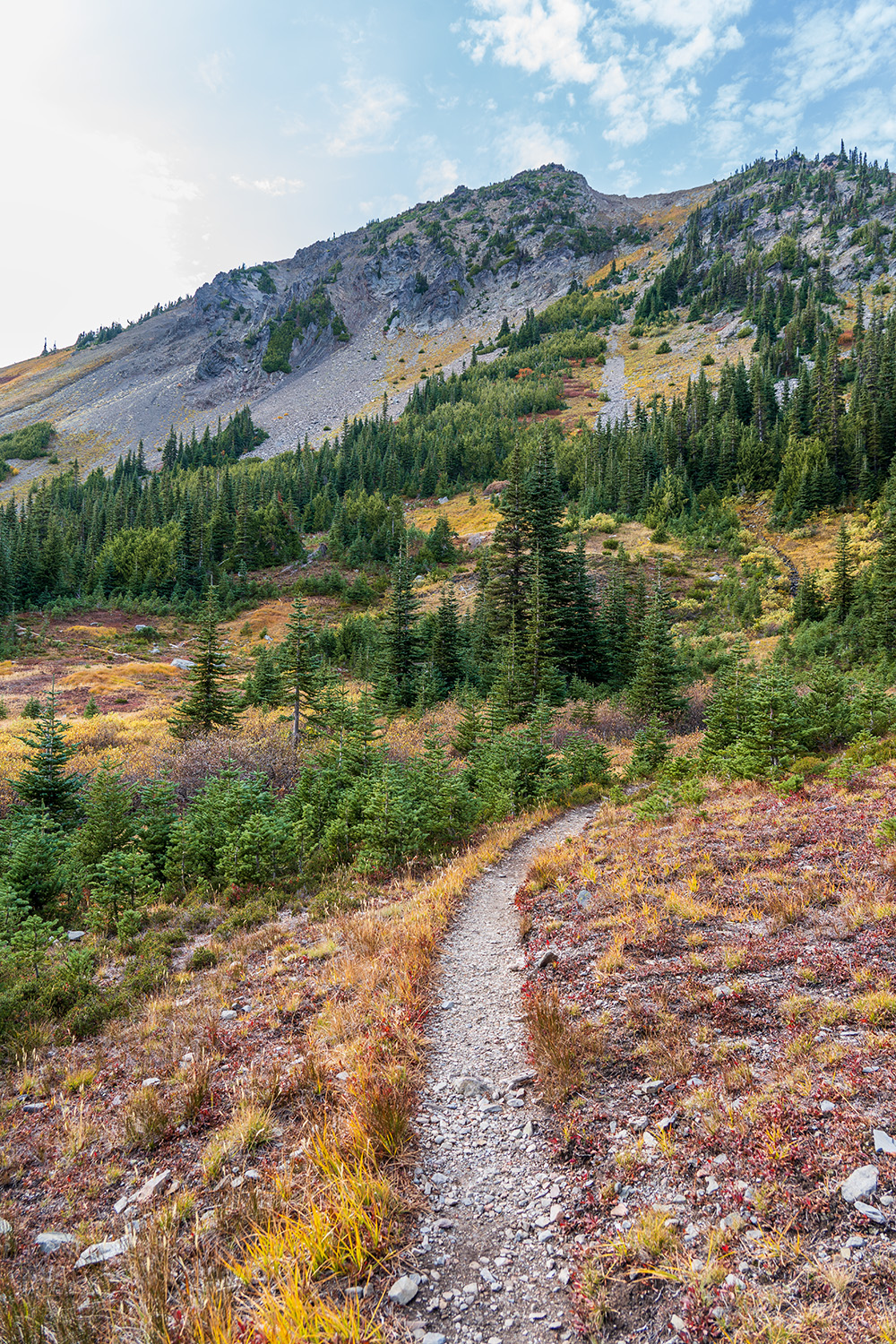
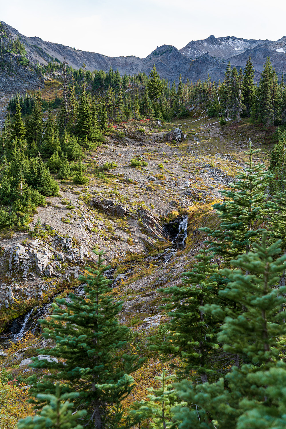
If you’re not paying attention, you might accidentally continue up toward Grand Pass. The trail to Lillian Ridge and Low Pass is faint and barely noticeable, splitting off to the right. From here, the trail switchbacks steeply up the slope, and the alpine grass gives way to loose rock as you climb toward the pass. As you gain elevation, the views really start to open up.
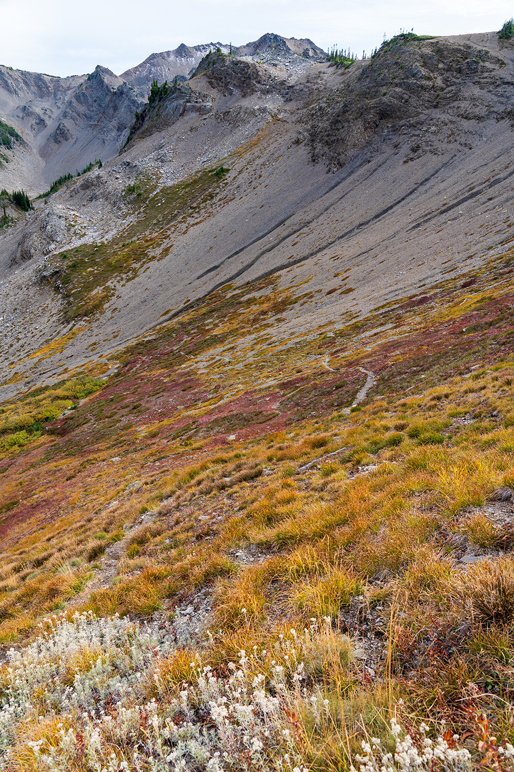
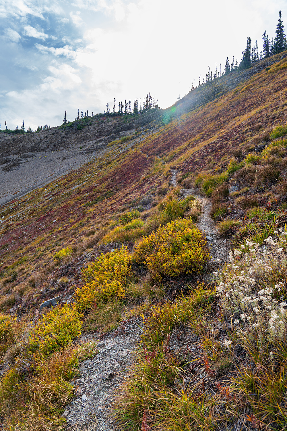
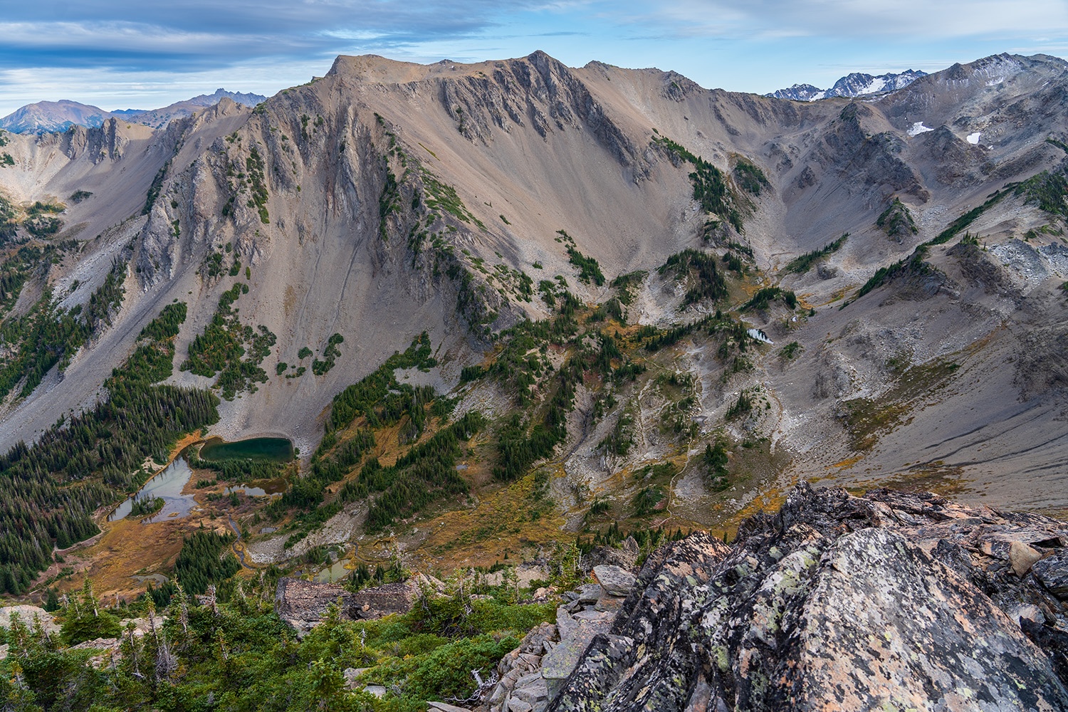
At the top of Low Pass, the scenery changes completely. You’ll be greeted with stunning views of Mount Olympus and numerous other peaks, including Grand Pass, McCartney Peak, and Lillian Lake in the basin below. The climb to Low Pass isn’t too strenuous, but there’s still a significant elevation gain ahead to reach Moose Peak, which marks the highest point of the route.
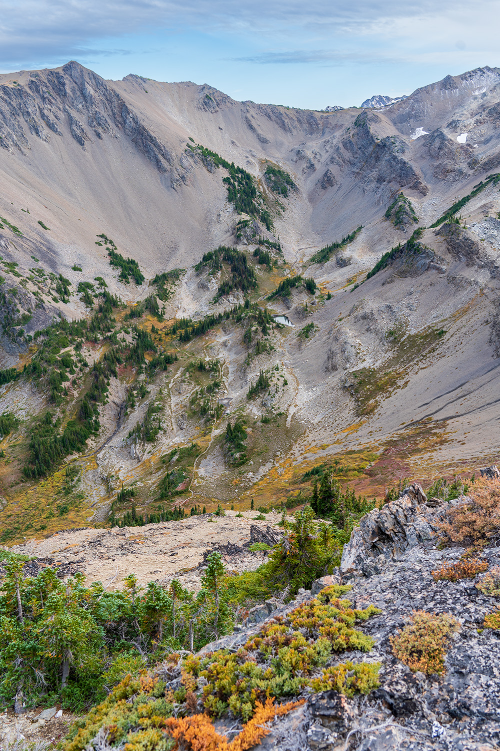
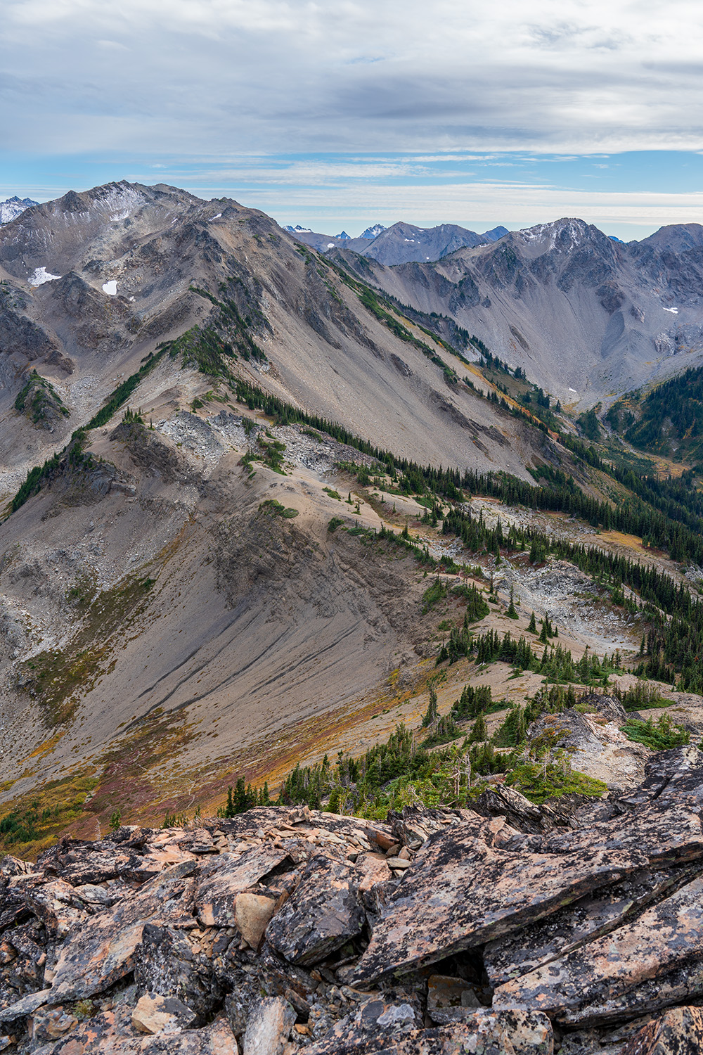
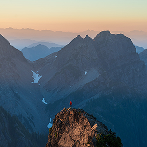
Now, you’ll traverse Lillian Ridge for the remainder of the hike back to Obstruction Point. This section can be tricky, requiring secure handholds and careful balance as you navigate loose rocks and steep drops on both sides. If bad weather is expected, it’s best to avoid this part of the loop and ascend Lillian Ridge from Grand Lake instead.
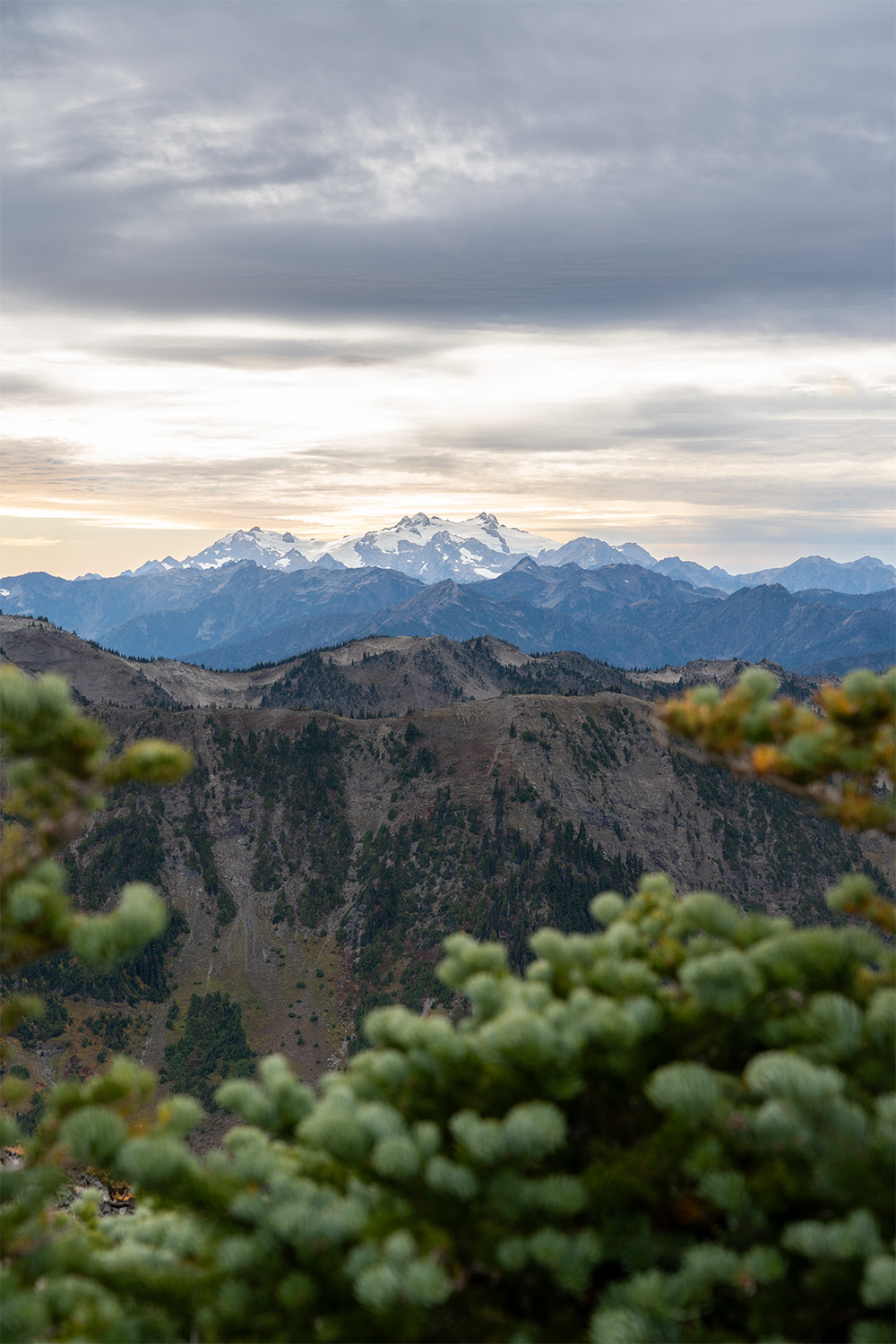
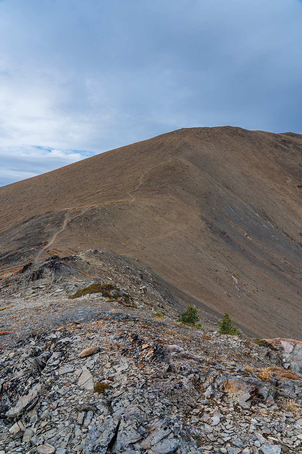
At the summit of Moose Peak, which stands at 6,753 feet, the views are dramatic and breathtaking. The barren summit is a result of the harsh conditions up here, but it’s still stunning, offering a fantastic perspective of the Olympic Mountains.
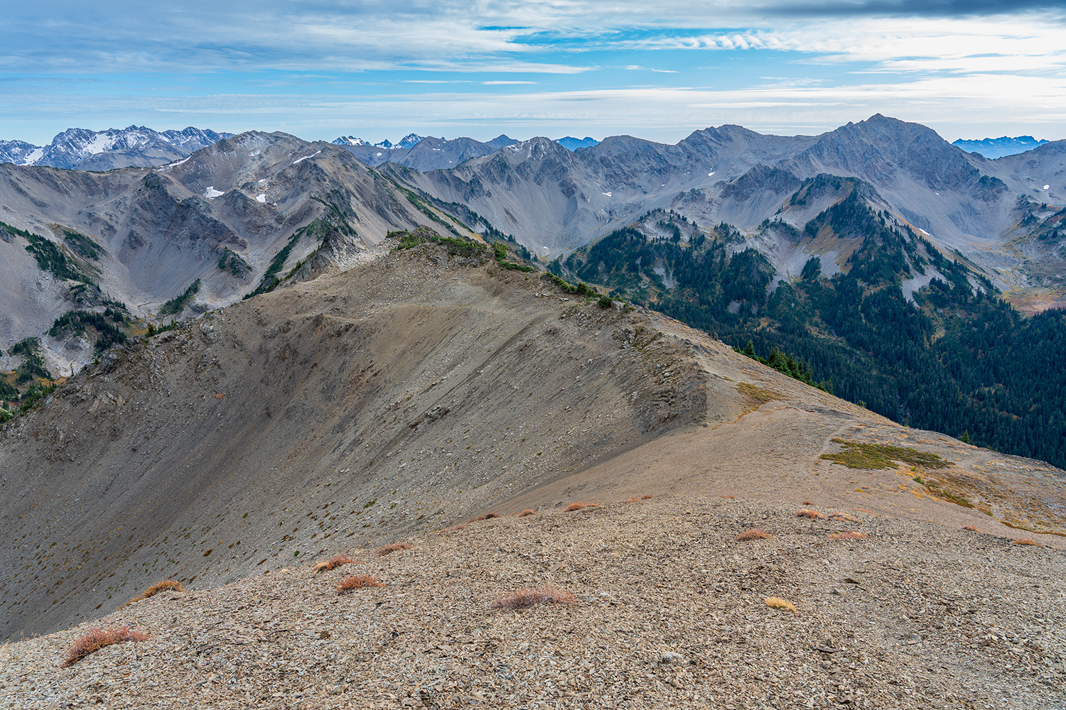
Descending from Moose Peak is the most difficult part of the hike. The exposed trail has some risky sections where a misstep could send you down the mountainside, so extreme caution is advised. I felt fairly comfortable on this descent, but if you’re afraid of heights, this section is definitely not for you. Fortunately, you can easily skip it by altering your route to the shorter loop.
Subscribe to hikewithkurt.com
Get notified when I post new detailed hiking guides and join me on upcoming hikes.

Get notified when I post new detailed hiking guides and join me on upcoming hikes.
As you descend lower from Moose Peak, be sure to check your route frequently. At one point, I wandered off track and found myself on loose talus rock that shifted easily. You’ll need to carefully navigate a barely visible trail through the rock and then climb back up to the ridgeline. Just when you think the ridge traverse is over, there’s even more to tackle before reaching a more manageable trail.
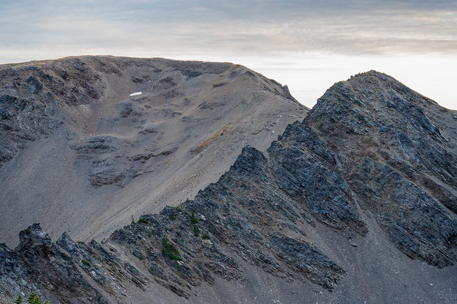
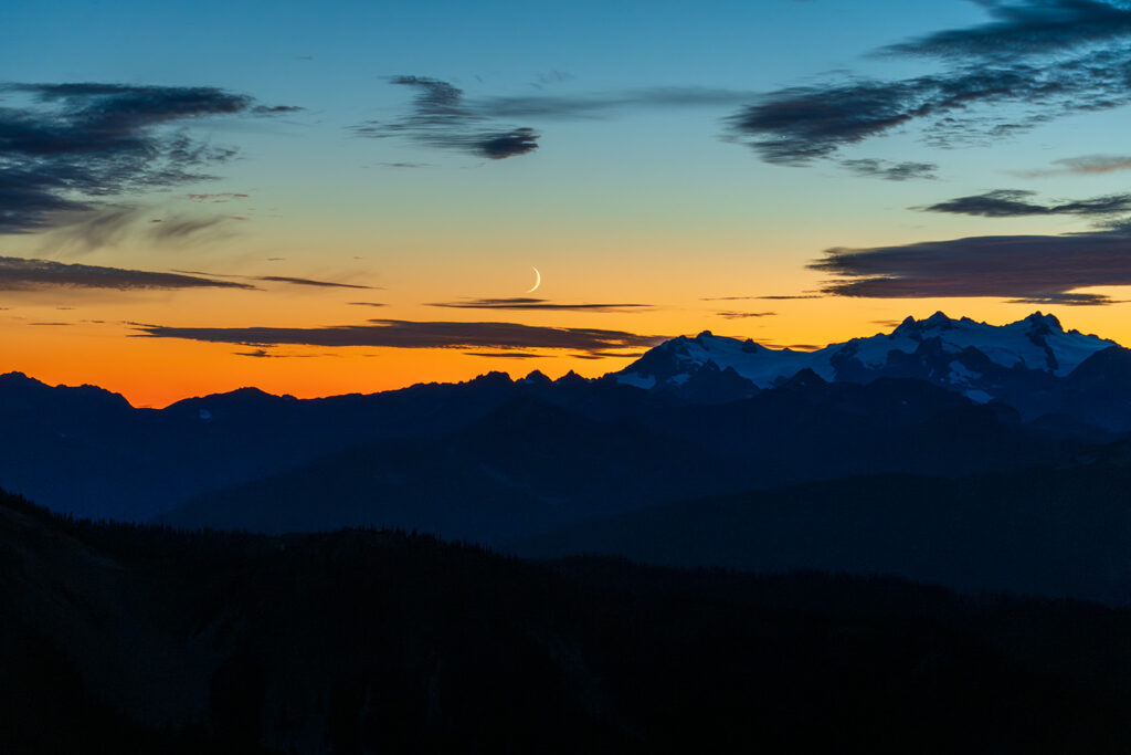
Eventually, you’ll make your way back to the safety of Lillian Ridge, and from here, it’s smooth sailing back to Obstruction Point. The last two miles offer excellent views of Mount Olympus to your left and the valley you descended earlier to your right. As daylight began to fade, the moon rose above Olympus, and the sunset painted the sky with gorgeous colors. I can honestly say I was excited to reach the trailhead after a long day of hiking.
Backcountry Camping Options: Where to Stay Along the Badger Valley Trail
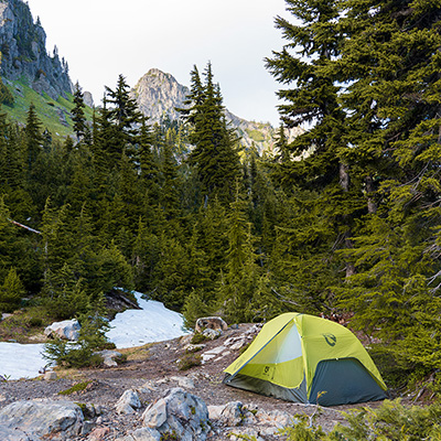
Along this loop, there are backcountry camping options at three lakes—Grand Lake, Moose Lake, and Gladys Lake. Camping here requires a backcountry permit, which can be reserved through Recreation.gov. The cost is a $6 reservation fee, plus $8 per person per night. Be sure to select Hurricane as your starting area when booking your permit.

Grand Lake
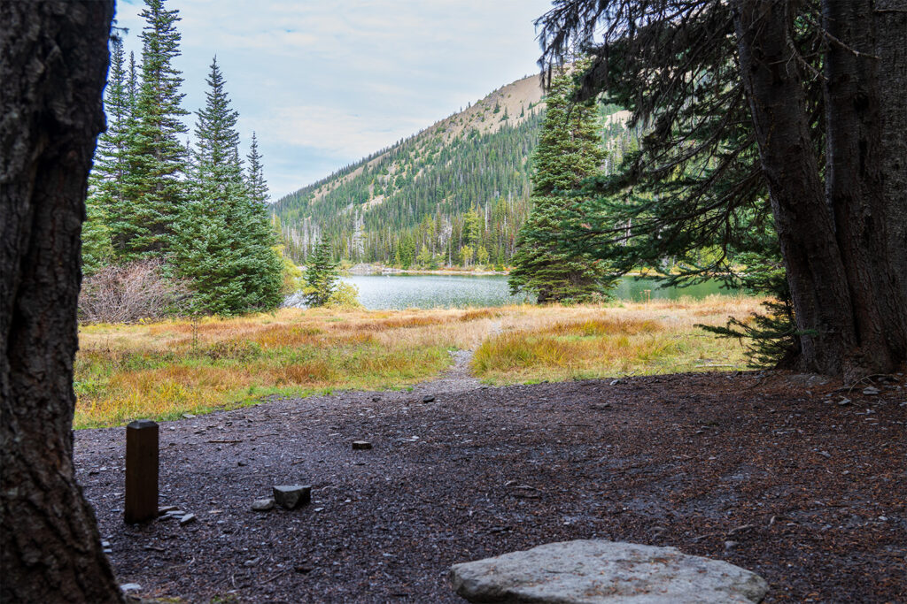
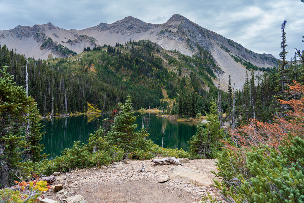
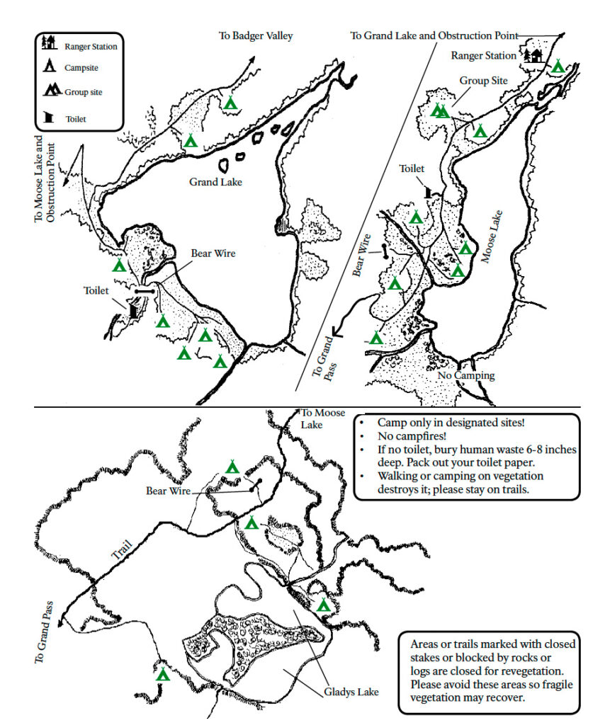
Grand Lake is the most convenient camping spot on this trail, situated right where the routes converge if you’re planning to take the shortened loop. There are seven campsites here, offering a bear wire for hanging food and a solar composting toilet, with the campsites nicely spread out for privacy. You’ll find easy access to both Grand Lake and a nearby stream, perfect for collecting drinking water. A picturesque meadow section along the lake offers a great spot to have your meals. While the lake’s green hue is stunning, its shallow depth makes it less ideal for swimming. It is beautifully surrounded by rugged mountain views.
Moose Lake
Moose Lake was my favorite camping spot of the three options. The meadows surrounding the lake are stunning, with towering mountain views rising up from the water. The north side of the lake is bordered by dense pines, while the south side opens into vast meadows offering incredible views of the basin. The campground has seven campsites, a bear wire, and a solar composting toilet. The campsites near the lake are truly top-notch. Moose Lake is also the best choice if you’re looking to take a refreshing dip in the cold water.
Gladys Lake
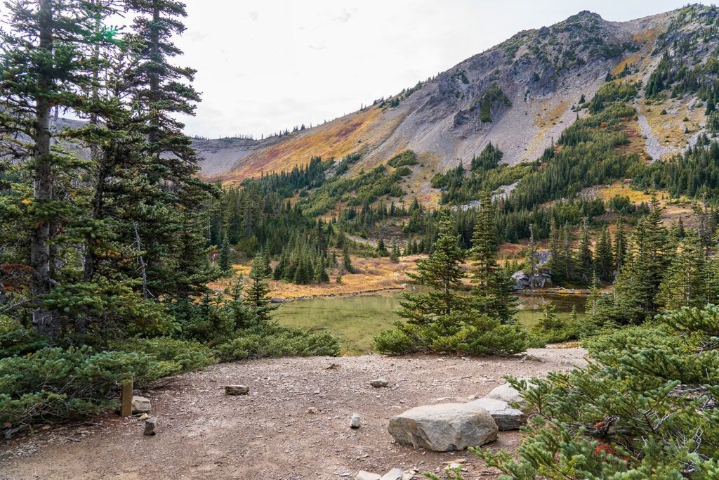
Gladys Lake is the most remote campsite along this route, giving it a truly secluded feel. Due to the limited number of campsites, securing a reservation here can be more challenging. It sits near the base of the basin leading up to Grand Pass, offering stunning views of the surrounding basin. The lake itself is quite shallow, only a few feet deep at most. There are four campsites here, along with a bear wire, but no toilet facilities. The National Park asks that you use the toilet at Moose Lake so you’ll have to walk 10 min from Gladys Lake to get there.
| Campground | # of Sites | Bear Wire | Toilet |
| Grand Lake | 7 | Yes | Solar Composting |
| Moose Lake | 7 | Yes | Solar Composting |
| Gladys Lake | 4 | Yes | None |
Water Sources Along The Trail
There are numerous water sources along the trail, especially from Obstruction Point down to the lakes, making it easy to stay hydrated. You’ll cross multiple small and larger streams that provide reliable spots to fill up. However, once you leave Gladys Lake, that will be the last reliable water source for the remainder of the route back to Obstruction Point. Be sure to fully top off your water supply at Gladys Lake to ensure you have enough for the final stretch of the hike.
Is There Cell Phone Coverage On The Trail?
No, you will not have any reliable cell phone coverage along the trail.
Are Dogs Allowed on the trail?
No, dogs are not allowed on the Badger Valley to Grand Pass Trail because it falls within the boundaries of Olympic National Park, where pets are not permitted on most trails to protect wildlife and the natural environment.
Wildlife Along the Badger Valley to Grand Pass Trail
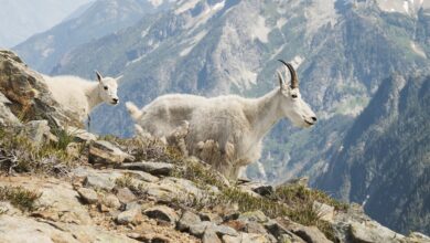
This part of the Olympic National Park is fairly remote, so you should expect to see a lot of wildlife. Marmots are commonly spotted in the numerous meadows along the trail, and their presence is marked by the many burrows and holes scattered throughout the area. Deer are very common, especially around the lakes, where they are often seen grazing. There’s also a chance of seeing a black bear, and on rare occasions, a mountain lion. Birdlife is abundant as well, with many species inhabiting both the forested and alpine areas of the trail.
Why You Should Add the Badger Valley to Grand Pass Loop to Your Hiking List
I highly recommend this trail for anyone looking to enjoy both stunning lake views and epic ridgeline mountain scenery in one loop. The loop is highly customizable, allowing you to choose the more challenging route with rock scrambling along a jagged ridgeline or opt for an easier, more traditional hiking experience—both options offering incredible views. This trail can be completed as a day hike or as a backpacking trip if you prefer to take your time and savor the experience. If you’re looking to avoid the crowds in Olympic National Park, the Badger Valley to Grand Pass Trail and the ascent to Lillian Ridge should definitely be on your list.

