Backpacking Royal Basin In Olympic National Park (Epic Views)
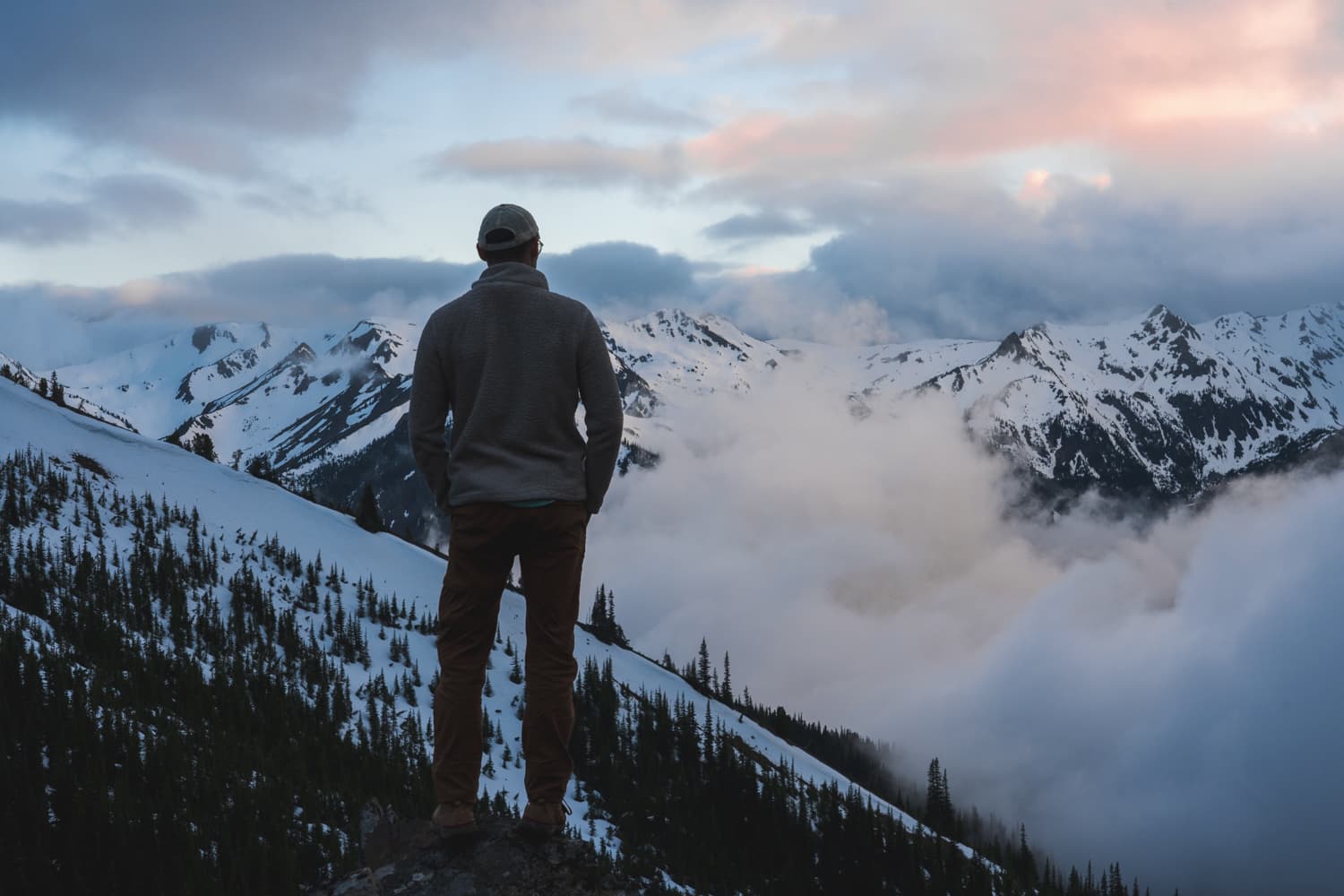
Backpacking Royal Basin had been on my list for a while, but it wasn’t a top priority. The hike didn’t seem to get much hype; reviews were positive but not overwhelmingly enthusiastic. In contrast, trails like the High Divide and 7 Lakes Basin receive a lot of attention and publicity online and on social media. However, after completing the Royal Basin hike, I might have to move this trail above the High Divide and 7 Lakes Basin on my list. In this post, I’ll explain why I believe Royal Basin offers a superior backpacking experience and what changes I would make to my itinerary for my next trip (because yes, I’m definitely doing this one again).
How to Get Permits for Royal Basin
This hike is located inside Olympic National Park, so you’ll need to obtain backcountry permits. These permits are released on April 15th every year, so if you’re planning to hike on a weekend, mark this date on your calendar to reserve your permits— they go quickly! You can make your reservation via Recreation.gov. Select Hurricane as your starting area, and then choose from Royal Creek, Lower Royal Meadow, and Royal Lake for your campsites. I’ll also share how you can snag a reservation for an additional area along this trail, which might surprise you!
Tonight
39°F
Mostly Clear
Thu
56°F
Sunny
Thu Night
43°F
Mostly Clear
Tonight
39°F
Mostly Clear
Thu
56°F
Sunny
Thu Night
43°F
Mostly Clear
Fri
61°F
Sunny
Fri Night
47°F
Partly Cloudy then Light Rain Likely
Sat
49°F
Light Rain
Best Times to Backpack Royal Basin
The ideal time to backpack Royal Basin is from late June to October. The Olympic Mountains typically melt out faster than other areas of Washington, allowing for an earlier start on this trail. However, if you plan to hike in June, be prepared for some snowpack at higher elevations. I completed this hike in early August and did not encounter any snow, except for a few leftover patches on the peaks near Royal Basin.
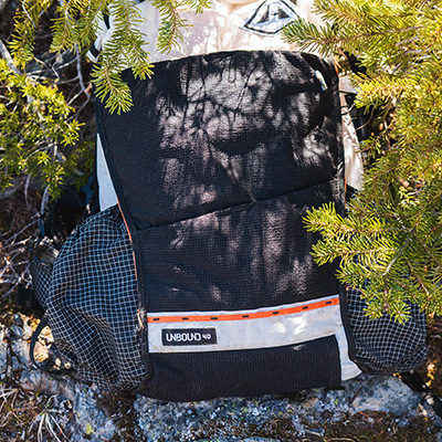
Kurt's Backpacking Gear
View My Full Gear List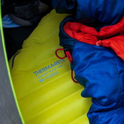
Choosing the Best Backpacking Itinerary for Royal Basin
This trail is an out-and-back, providing flexibility for camping based on your experience level and time commitment. I personally would classify this trip as moderate-hard. The elevation gain over the course of the route is fairly tame. Here are a few great trip itineraries to consider:
Slow Pace (2 Nights / 3 Days)
- Day 1: Camp at Royal Creek.
- Day 2: Hike up to Royal Lake and camp there. Use the day to take a side trip up to Royal Basin.
- Day 3: Hike back out.
Moderate Pace (2 Nights / 3 Days)
- Day 1: Hike up to Royal Meadows and camp.
- Day 2: Hike to Royal Lake and camp there. Use the day to take a side trip up to Upper Royal Basin.
- Day 3: Hike back out.
Fast Pace (1 Night / 2 Days)
- Day 1: Hike to Royal Lake and camp there.
- Day 2: Either hike up to Upper Royal Basin in the evening or the next morning, then hike back out.
Ideal Option (2 Nights / 3 Days)
- Day 1: Hike to Royal Lake and camp there.
- Day 2: Hike up to Upper Royal Basin and camp there.
- Day 3: Hike back out.
You might be wondering, how do I get permits for camping at Upper Royal Basin? I didn’t see it on Recreation.gov! I had the same question. It turns out, you can book permits for this location by contacting a ranger at the Olympic Wilderness Information Center. Just call them at 360-565-3100 and request permits for Upper Royal Basin. I plan to do this on my next trip up to Royal Basin.
Getting to the Trailhead
The trail for this hike starts from the Upper Dungeness Trailhead. From US 101 near Sequim, WA, turn onto Louella Road, then left onto Palo Alto Road. Drive 5.8 miles until it becomes a gravel road, then follow signs to NF-2880 and NF-2870, which will lead you to the trailhead. The roads are a bit confusing but using the provided google maps link should get you there with no issue. There is ample parking and pit toilets available at the trailhead. It should take about 45 min to get to the trailhead from Highway 101.
The Hike to Royal Basin
Starting from the Upper Dungeness Trailhead, the trail begins with a gentle, flat stretch through a lush forest. The path is well-maintained and surrounded by towering Douglas firs, creating a spacious and open forest experience. The forest floor is carpeted with moss and ferns, adding to the serene atmosphere. The trail runs along the Dungeness River. The After about a mile, you’ll encounter a bridge; however, be sure to stay to the right to head up towards Royal Basin. Avoid crossing the bridge because that takes you down the Dungeness Trail.
After passing the bridge, continue along the trail as it begins a steady uphill climb. The path meanders through a dense forest filled with moss-covered trees and occasional small creek crossings, ensuring water is generally accessible. As you hike, you’ll notice the forest opening up to small meadows and avalanche chutes before returning to the forested trail. The climb remains steady, but manageable, with the sounds of Royal Creek accompanying you. Eventually, you’ll reach the Royal Creek campsites, nestled in a serene, mossy section of the forest along Royal Creek.
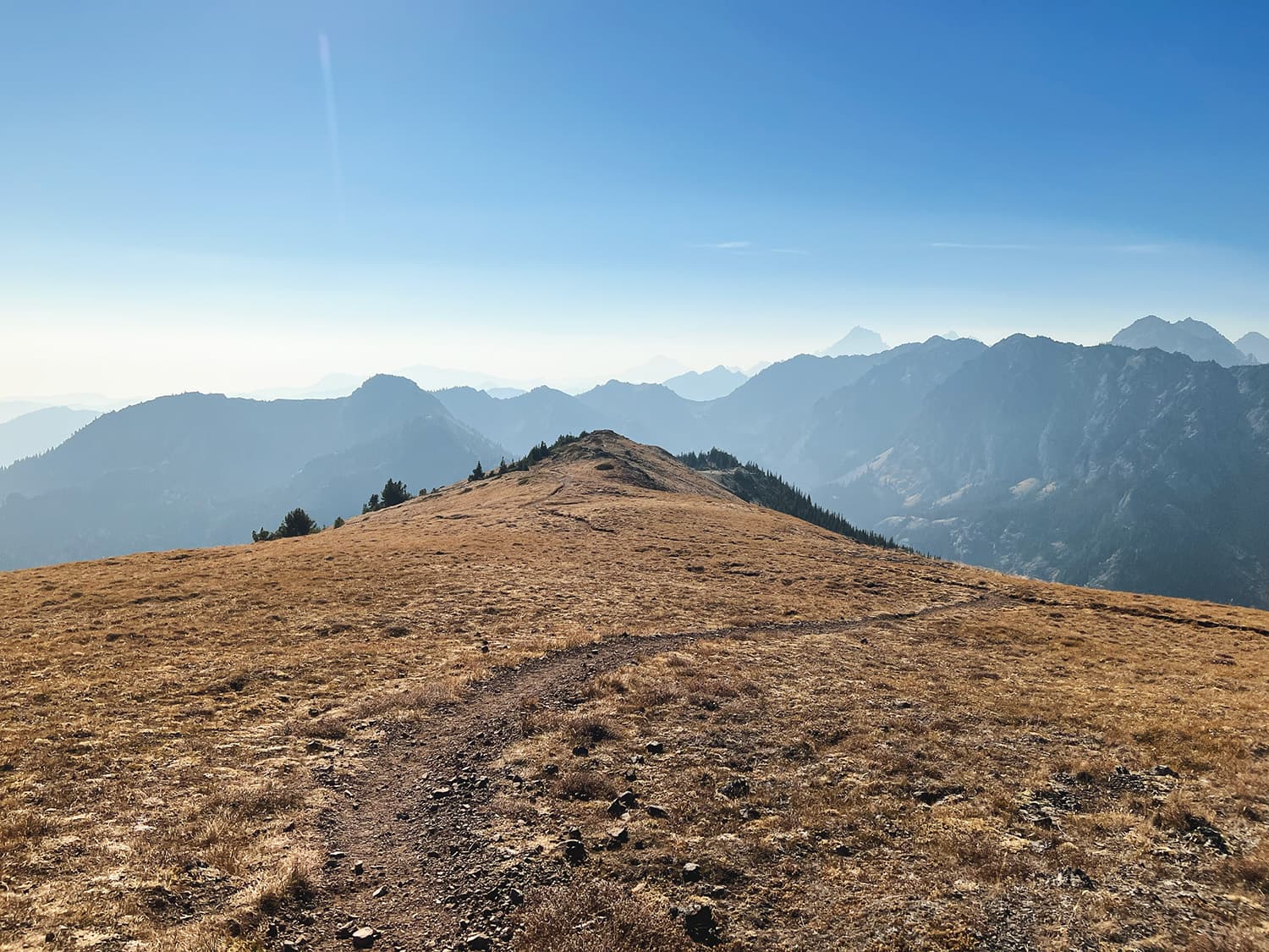
Leaving the Royal Creek campsite, the trail continues its steady ascent. The forest is dense with large, moss-covered trees and the trail occasionally crosses small creeks. You’ll hike through alternating sections of forest and thickets of big leafed Devil’s Club and wildflowers. The trail then makes a push uphill, crossing a dry stream bed and leading you to a series of switchbacks. These switchbacks quickly gain elevation, and you’ll begin to see more prominent views of the valley and surrounding mountains like North Petunia Peak.
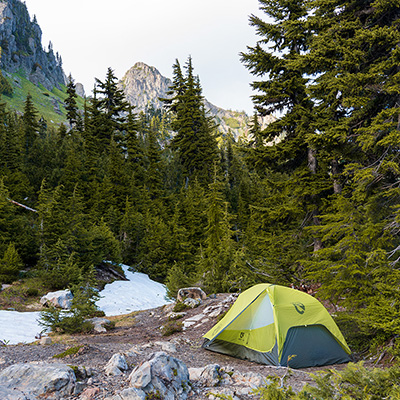
The trail then traverses an open rocky ridgeline adorned with wildflowers. You can hear a waterfall in the distance as you approach the Royal Meadows campsite. The final stretch involves skirting around the waterfall to your left, passing through alpine meadows, and then entering a more wooded area before reaching the Royal Meadows campsite. This campsite is nestled in a beautiful, serene meadow with ample space for tents and a picturesque view of the surrounding peaks on both sides.
After crossing the small stream at Royal Meadows, the trail continues with a moderate incline and a few switchbacks. The steep mountains surrounding the area mean that morning light arrives late, keeping temperatures cooler in the early hours. The hike from the meadows to Royal Lake is just 0.7 miles, with increasingly spectacular views as you approach the lake, surrounded by towering peaks.
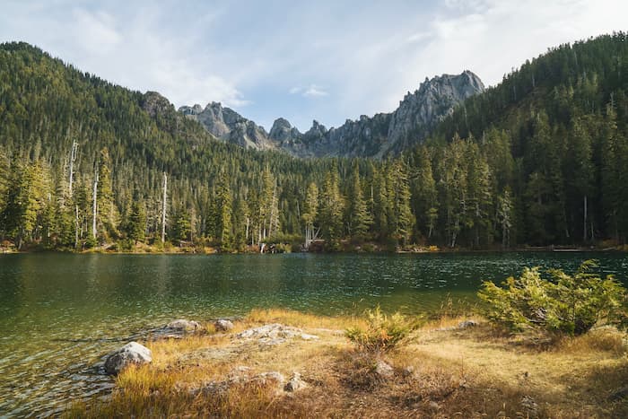
The area around Royal Lake is definitely worth exploring, but if you’re focused on the hike, continue past the lake. As you leave Royal Lake, the elevation gain remains steady but manageable. The trees gradually become smaller, a clear signal that you’re getting closer to the basin. Soon, meadows and wildflowers begin to dominate the landscape, overtaking the trees. Then, almost like stepping through a portal, you emerge from the forest into the breathtaking expanse of Royal Basin.
Similar hikes worth exploring.
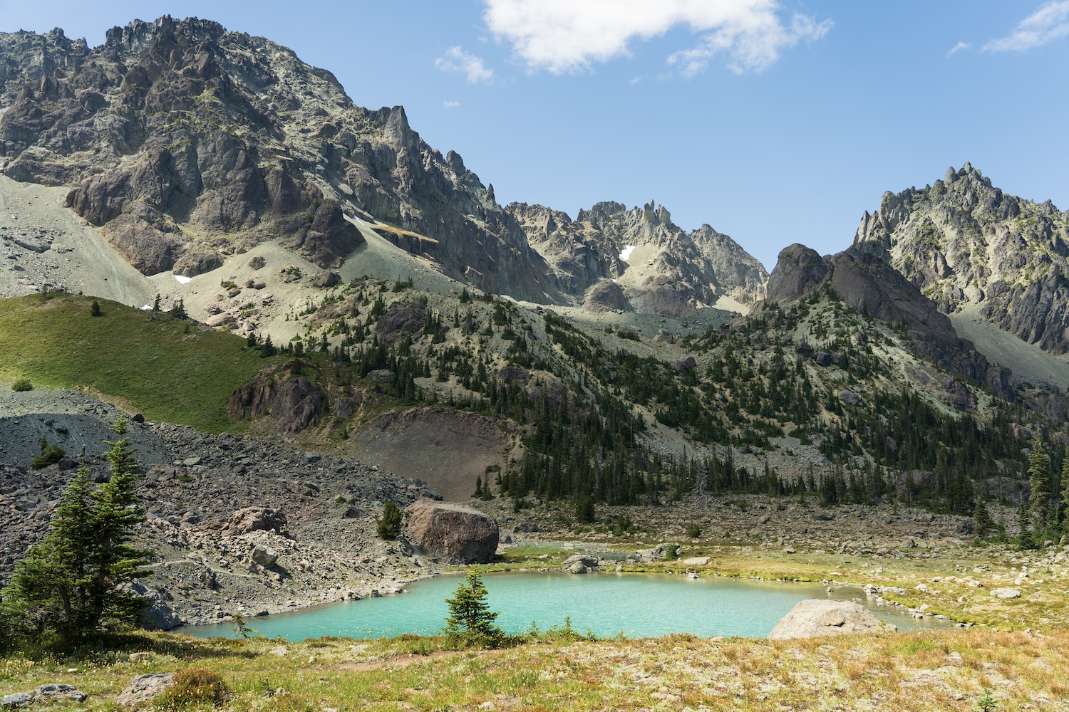
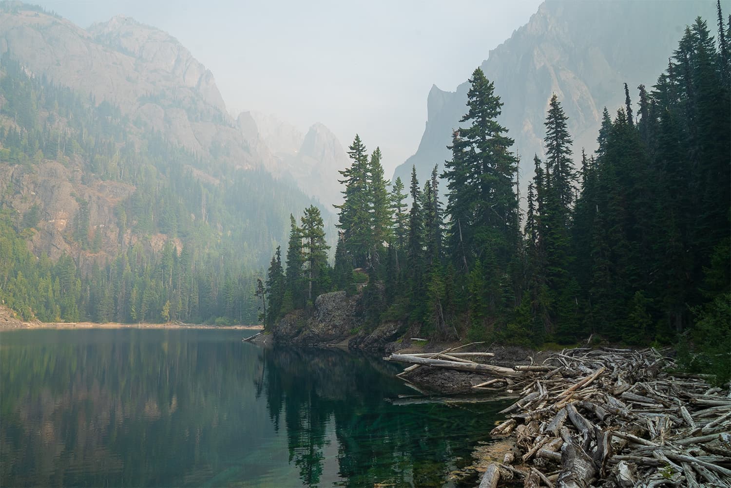
The meadows stretch across the valley, with Mount Fricaba towering to your left and a waterfall cascading off the cliffs. Directly ahead, Mount Deception and Mount Clark create a stunning backdrop to the alpine meadow landscape. As you cross a stream leading to the impressive waterfall on your left, the trail takes you up the steepest section of the entire hike, cutting through perfect marmot habitat. Keep an ear out—you’re likely to hear their calls. Finally, the trail opens up to expansive meadows in a basin surrounded by towering peaks over 7,000 feet tall. As you press on, the Imperial Tarn of Royal Basin reveals itself, with its turquoise waters dazzling in the alpine light.
Make sure to set aside plenty of time to explore the Imperial Tarn, a small mountain lake formed in a glacially carved basin. The edges of the tarn are dotted with numerous frogs, and as the sunlight shifts, the tarn’s color transforms, becoming a vibrant turquoise when the light hits the water just right. If you’re feeling adventurous, take a dip—it’s surprisingly not as cold as you might expect. This is a place that will stay with you long after you’ve left.
Camping Options Along the Trail to Royal Basin
Along the trail there are 4 camping areas to choose from when you book permits, 3 of which are available on Recreation.gov and the Upper Basin which is only available through reservation over the phone.
Royal Creek Campsites
There are three primary campsites along Royal Creek. The first two sit alongside Royal Creek at 3,500 feet and allow fires. The third site is 3/4 mile farther up and does not allow fires. Fire bans are usually in effect mid summer so make sure you follow that.
Lower Meadow Campsites
Located about 0.7 miles below Royal Lake, this area is clearly marked so you can’t miss it. Camp only on bare, hardened ground to protect rare, fragile plants. Royal Creek runs through the Meadows and provides the perfect spot for a cold plunge!
Royal Lake Campsites
There are 10 campsites at Royal Lake. Only two can accommodate multiple tents. The group site is for 7-12 people and must be reserved in advance. The first two campsites along the right side of the lake are great! The additional sites close to the lake are also really great options. The composting toilets here were poorly kept. Hopefully the National Park Service can address this! Just fair warning!
Upper Basin Campsites
Upper Royal Basin is 3/4 mile and 1,000 feet above Royal Lake on an unmaintained trail. There are no designated campsites; camp only on bare ground or gravel. Avoid camping near Imperial Tarn. See the map below for areas where you can camp.
Experience Royal Lake
Royal Lake offers plenty to explore and enjoy during your stay. You can take a leisurely walk around the lake via a well-trodden path, soaking in the views from every angle. After hiking up to the basin, a refreshing swim in the lake is the perfect way to cool off. The south end of the lake offers the best place to swim. The surrounding meadows are worth exploring along the many trails. While mosquitoes can be a bit bothersome, they’re generally manageable. Be sure to catch the sunrise and sunset—both are impressive, though keep in mind that it can get dark early with the towering mountains on either side, as you’re nestled in a basin.
A Must-Do Side Trip at Royal Lake
If you’re camping at Royal Lake or just passing by, be sure to check out Royal Basin Falls, a beautiful waterfall just a 5-minute detour from the main trail. Look for a large, unmistakable rock where a trail branches off, crossing a meadow toward the ranger station (essentially a wooden tent platform). Pass the ranger station and follow the trail until you reach the falls. You can even hear the falls from the campsites at Royal Lake.
Are Dogs Allowed on the Royal Basin Trail?
Dogs are not allowed on the trail since it’s part of Olympic National Park. Keep the pup home for this one.
Tips for Backpacking Royal Basin
- Best Time to Visit: Late June to October for optimal conditions, though expect some snow at higher elevations in June.
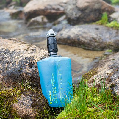
- Water: Fresh water sources are available along the entire trail.
- Camping at Upper Royal Basin: If you’re looking for a remote alpine camping experience, consider calling the ranger station for permits at Upper Royal Basin.
- Marmots! Watch for marmots, especially near the Royal Basin area.
- Scenic Views: Royal Basin’s views, with Mount Deception and Mount Clark, are stunning. Don’t miss the Imperial Tarn.
- Side Trip: Royal Basin Falls is just a 5-minute detour from Royal Lake and well worth the visit.
- Food Storage: Use bear canisters to keep food secure and protect wildlife – they are required here.
- Permits: Backcountry permits are required and can be booked on Recreation.gov. Call the Olympic Wilderness Information Center for Upper Basin permits.
Royal Basin is truly a hidden gem within Olympic National Park, offering a breathtaking combination of alpine meadows, towering peaks, and serene tarns. I was blown away by this trail, especially the basin, which is undoubtedly the highlight of the entire trip. If you’re not ready to backpack it, you could also tackle this as a long day hike. The steady ascent through lush forests leads to the stunning beauty of the basin, making the hike rewarding. If you’re planning your next backpacking trip, I highly recommend moving Royal Basin to the top of your list—you won’t be disappointed.